

dta1984
-
Posts
1,778 -
Joined
-
Last visited
Content Type
Profiles
Blogs
Forums
American Weather
Media Demo
Store
Gallery
Everything posted by dta1984
-
That's just how the media is with everything going on (political etc). It's used to fuel a certain feeling one way or another. It's always good to do your own research.
-
It really is amazing how the levels of concern vary so much. We've traveled a bit lately, and been to places where it seems covid doesn't exist (and their numbers show), and then others where it's full on panic.
-
A quick glance at recent strong nina years yields normal to above here. Maybe other parts of the state.
-
Ya we drove home up 71 through the majority of it yesterday. The real heavy rain started around Mansfield. We definitely needed the rain, but it seems to come in large batches lately.
-
I know this has long been known, but CDC just confirmed only 6% of covid deaths had no pre existing conditions. https://nbc25news.com/news/local/cdc-94-of-covid-19-deaths-had-underlying-medical-conditions
-
Agree with this. The damage to the economy, people, mental health etc is just too much.
-
Ya I noticed this morning they adjusted the rain chances down. Definitely an error there. Much needed rain.
-
People don't want to live in fear of something that has less than 1% chance of killing. Get outdoors, distance yourself, mask off breathe the fresh air and enjoy life. If you're high risk, take the precautions necessary.
-
It's all political....
-
Ya much needed rain yesterday. Hopefully get some more later in the week with tropical remnants.
-
Testing is such a mess, can't rely on any numbers you see. https://www.espn.com/nfl/story/_/id/29729892/source-all-77-nfl-positive-tests-return-negative
-
Ya definitely need the rain, grass is starting to brown in some areas.
-
It does generally impact high risk people
-
Good info. Ya, i have said it before, but there needs to be more said about the importance of lifestyle changes with eating, exercising etc. This is a huge reason why America is having such a tough time with this The media should be pushing that more than they are (almost none).
-
Sounds like hydroxychloroquine. https://www.henryford.com/news/2020/07/hydro-treatment-study
-
I thought the mask mandates were going to help numbers go down?
-
True, it goes both ways. My point, the data doesn't seem too reliable.
-
How do we really know though? If you get a test and are positive, you are then supposed to quarantine. How would you know if you never really were positive?
-
So what you're saying is....there's alot of false positives out there? On top of the people who have left testing and get a letter saying they tested positive. Hmm interesting...
-
Not saying I agree with that, but it's never a bad idea to at the least question what we are told from government or other higher authorities.
-
Just saw Ohio is mandating masks for k-12 kids. I believe that's a bit extreme, and could pose other risks of illness with masking other bacteria a kid normally has around their mouth and nose.
-
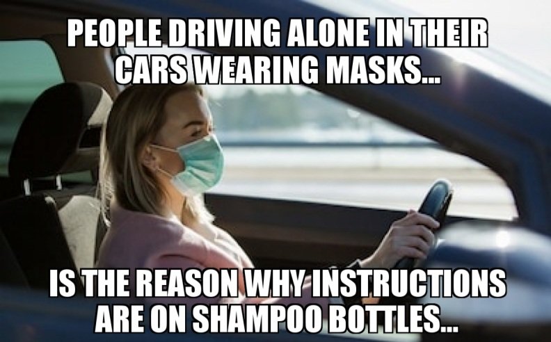
Lol always get a good laugh seeing people alone in their car with a mask on
-
Yep, I've heard the exact same story from a credible source. I do believe there was some sort of check in, and they left after checking in.
-
Is that politics in general or is Biden ok...?
-
Curious why you say that? Though there was some delay, everyone I've encountered part time or full time got the extra unemployment. Maybe it's depending on the state.


