

SnowGoose69
-
Posts
15,271 -
Joined
-
Last visited
Content Type
Profiles
Blogs
Forums
American Weather
Media Demo
Store
Gallery
Posts posted by SnowGoose69
-
-
17 minutes ago, NorthShoreWx said:
https://northshorewx.com/19990225SnowTotals.html
NEW YORK... 1130 AM EST FRI FEB 26 1999 THIS IS THE FINAL STATEMENT ON THIS EVENT.
MONTAUK SUFFOLK 13.5 730 AM
EAST HAMPTON SUFFOLK 10.0 700 AM
SHINECOCK SUFFOLK 8.5 730 AM
BRIDGEHAMPTON SUFFOLK 8.5 700 AM
ORIENT POINT SUFFOLK 8.0 700 AM
NWS OFFICE BROOKHAVEN SUFFOLK 6.4 700 AM
PATCHOGUE SUFFOLK 5.9 700 AM
RIDGE SUFFOLK 5.0 730 AM
MOUNT SINAI SUFFOLK 4.7 700 AM
FARMINGVILLE SUFFOLK 4.6 800 AM
SOUTH SETAUKET SUFFOLK 4.5 800 AM
RONKONKOMA SUFFOLK 4.0 700 AM
ISLIP SUFFOLK 3.0 700 AM
CENTERPORT SUFFOLK 2.8 800 AM
FARMINGDALE NASSAU 2.0 700 AM
OCEANSIDE NASSAU 1.8 600 AM
NORTH MASSAPEQUA NASSAU 1.5 700 AM
LA GUARDIA AP QUEENS 2.0 700 AM
KENNEDY AP QUEENS 1.0 700 AM
GRAVES END BROOKLYN KINGS 1.2 800 AM
CENTRAL PARK NEW YORK 1.5 700 AM
WHITE PLAINS WESTCHESTER 1.3 700 AM
That was a massive bust, forecast I believe was zippo for all of the area and it began snowing on the twin forks at like 3am and they went right to warnings
-
 2
2
-
-
Time to start extrapolating the 84 NAM/RGEM
 ....the RGEM seemed somewhat interesting
-
I said yesterday no storm reminded me of this one and said it seemed like an 80s storm...well on CIPS analogs, 1/18-1/19 1984 is probably closest match to this event...not exact but has similarities and is only thing close.
-
Just now, HVSnowLover said:
Yes LI will definiutely have a hard time staying snow in this setup and probably all of the island goes to plain rain briefly but could still be a typical 4 inch north shore 1 inch south shore scenario.
I'd be surprised if anyone did as bad as 1 inch outside of the east end. I think most will be 2-3 in western LI on the south shore
-
1
-
-
Euro has been too cold constantly last few years on marginal cases here in the metro...this one is not marginal at the surface but talking about how 925 is so close on most mesos unless we see the RGEM/NAM tick colder next 2 cycles I'd lean towards Euro likely being too cold again
-
2 minutes ago, Northof78 said:
EURO?
Only in 6 hours but I would bet it keeps ticking NW more
-
1
-
-
10 minutes ago, RUNNAWAYICEBERG said:
It is not. The KU for NYCATT is gone.
6-8 in NYC is a KU this winter and they probably could still manage that out of this.
-
3
-
-
You'd rather be in PHL-NYC now for this than BOS/DCA. Its fairly rare we ever say that but this is a setup where at least at this moment that corridor is more likely to do well, BOS would have a chance to improve on their prospects than DCA
-
1
-
-
BTW I really doubt LGA/NYC west ever go to rain, so -FZRA/PL unfortunately is likely, hopefully it will be light but if the coastal continues to tick a bit more west and higher QPF makes its way in we could get a tenth of ZR...ideally we'd want to keep it sleet. JFK east I think goes to rain but 030-050 winds on almost every high res model for LGA/NYC won't flip them to rain
-
3
-
-
22 minutes ago, TriPol said:
I have a weird gut feeling about this storm that it may overperform for the city and eastern nj.
These types of weaker events with overrunning can still bust pretty significantly on the high side, even today. These ALWAYS busted 25 years plus ago because no models had the resolution to really resolve the lift/banding but even now the weaker events they can miss those types of nuances that the high res models capture in a case of stronger overrunning/WAA. I am sure someone sees crazy amounts here where they stay all snow...near the city we'd need pretty solid banding overnight to go over 3-4 probably
-
1
-
-
13 minutes ago, snowman19 said:
Why are you using the HRRR at this range?
It is not terribly different than either NAM...the HRRR beyond 12-18 I would avoid for convection or cases of warm air aloft with ZR/PL. In this case though the changeover should be towards the tail end of the run and it shows a similar evolution to the 3km NAM on that anyway. I just always warn its usually too cold in the mid-levels
-
3
-
-
1 minute ago, Deer Whisperer said:
Serious question, why do people use the 12k when the 3k exists?
12K I feel does better in the 36-48 period...3K I like o 24-30, not much beyond really
-
1
-
 1
1
-
-
I was trying to think of an event this reminds me of and I cannot think of one at all. This is sort of a 1980s type snow event here which is probably why I cannot remember
-
1
-
-
HRRR is a tad more RGEM like than Euro like at 00Z
-
1
-
-
One thing to watch, the 18Z HRRR showing that snow earlier than any model tomorrow for CNJ-SNJ...that could be 200-250 jet induced...the HRRR has captured a few of those events before with snow...one I think occurred in the 20-21 winter here and it had it better depicted than any other guidance
-
1
-
-
RGEM still in the you don't really want it category for now
-
The 18Z HRRR was actually close to what the NAM showed, especially past 30 hours
-
3
-
-
5 minutes ago, LibertyBell said:
What happened on 1/26/94? The two snow events in early February I remember clearly that year-- 2/8/94 and 2/11/94 I think? We also had a bowling ball low in late December 1993 and a moderate coastal in that same month.
A shortwave basically ran underneath a massive arctic high and dropped 5-7 inches between 10pm-6am.
-
1
-
-
2 minutes ago, bluewave said:
I don’t look at models beyond 24-72 hrs for specific snowfall output. That is one of the lowest skill parameters longer range for models. I wasn’t favoring the CMC or any other model for this system. Don’t mistake me discussing what x or y model says as an endorsement of that model in a model discussion thread.
Given how key the NRN stream is I like the GEFS for this as far as how does storm evolve...now as far as what does the WATL/SE Canada area look at as far as blocking? I'd probably blend the GEPS/EPS idea and see how it compares to the GEFS. I feel the GEFS gets outperformed on that so the eventual track of this thing whether it goes OTS or tries turning the corner/speed of the system may be better to see what those models are indicating in that sector
-
GEFS/GEPS/EPS still showing warmup does not last long.....still don't totally love pattern on any of them for big snows though I think GEFS pattern has improved a tad since yesterday...general issue is +NAO so W ridge has to be perfect, if its too far west you cut, if its too far east you might see everything miss OTS....the GEPS from 360-384 looked best, maybe was trying to build a -NAO late and the PV was dropping S
-
1
-
-
4 minutes ago, SBUWX23 said:
Many models show an 850 mb warm nose scooting in during the day on Tuesday. I'm starting to think this may be inevitable as the warm advection forcing is what helps drive some of the initial bands that come in from the south.
My guess though is by time it got in it would not matter much. I think in a setup like this 90% of the snow or precip would happen prior to the switch, thats the advantage as we know to not having bombed overrunning/WAA events like we see so often now...we just do not get those 2/8/94 or 1/26/94 type events ever anymore...everything is an amped shortwave or deep low
-
3
-
-
3 minutes ago, winterwx21 said:
The timing certainly is good for accumulations since it's coming in overnight into early morning. We should be good for a couple inches here.
I know we don't put a lot of stock in HRRR when it's in its long range, but it definitely looks good on the 12z run.
The HRRR can suck for thermals sometimes but as far as precip/track depictions at 48 it can often blow away the NAM on occasion.
-
1
-
-
Add the UKMET to what you want if you just want a light event...pushes core of overrunning right over most of area...coastal misses but as I said you probably sort of want it to in this setup
-
2
-
-
2 hours ago, DonnieB said:
NYC - Tupelo to Huntsville looking at 5-6" tomorrow, meanwhile you guys can't buy an 1" over past 2 years. You guys ready to talk about it?
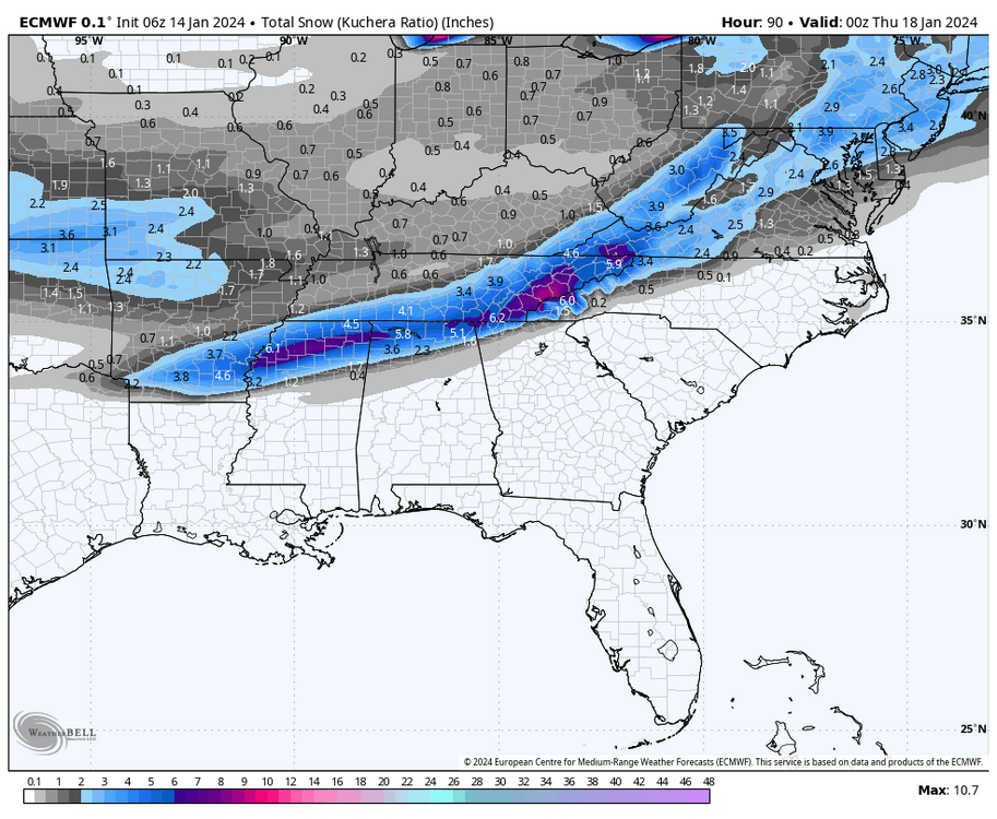
January 92 I was in ATL they got 5 inches (totally unforecast BTW) it was a similar narrow stripe to that....funny thing is at the time NYC had yet to register 1 inch that winter and entered March at 2.5 I think til two storms happened in 5 days bringing 10-11 inches. That was also an El Nino winter with some similarities indices wise to this one
-
3
-

Snow Friday 1/19/24: is it a period of light snow (less than 2"), or is there a chance of a 5" swath in part of the NYC subforum? Event OBS.
in New York City Metro
Posted
It was 3am-7pm or so....I think in Nassau we only saw snow from like 2-6pm briefly