

SnowGoose69
-
Posts
16,810 -
Joined
-
Last visited
Content Type
Profiles
Blogs
Forums
American Weather
Media Demo
Store
Gallery
Posts posted by SnowGoose69
-
-
The strongest gusts likely were just east of FOK which peaked at 56, the 87 from Baiting Hollow indicates that somewhat
-
 1
1
-
-
FOK 53knot gust
-
Quite a few bigger towns or cities taking direct hits at the moment. Minneapolis Philly DC. Tulsa is gusting to 55kts too
-
15 minutes ago, PhiEaglesfan712 said:
Now, it's time to see if ABE or Wilkes Barre-Scranton get to 100. ABE last hit 100 on July 22, 2011, and Wilkes Barre-Scranton last hit 100 on July 15, 1995.
I remember that day in 1995, I was on the boat with my dad and brother and was miserable and just wanted to go home
-
1
-
-
The other mesonet station near the park is 101. I always find that is more realistic for temps on days like this
-
1
-
-
My guess is NYC will fail to reach 100 both days but may get a 99
-
2
-
 1
1
-
 1
1
-
-
Bridgeport 45knot gust with that cell
-
Cells forming in E NY moving S-SE. These may impact Suffolk county later if the RRFS is correct
-
NYC ASOS getting 46kts is impressive with all the trees around it, likely means it was 10 knots or more higher
-
LaGuardia 56 knots
-
EWR/TEB both gusted over 50
-
21 hours ago, GaWx said:
Winter storms in the South outside of the mountains are for the most part somewhat freaky events. Thus, due to the low frequency, our snowiest or iciest winters are often from mainly just one major (or series of) winter storms at most. Examples: late Jan of 1940, Feb of 1952, mid Feb of 1958, 12/31/1963, 2/9-10/1973, 3/1-2/1980, 3/24/1983, late Jan of 1987, 1/7-8/1988, mid Jan of 1992, the ice storm of late Jan 2005, and Dec of 2018. All of these were during El Niño and these were enough to make them wintry.
So, El Nino’s on average produce for wintry precip despite often being mainly from just one storm on the right track (usually Gulf to off SE Coast) at the right time (when cold enough air to the N/NW being tapped into enough).
There is no question there is some type of correlation too, at least for places like AL/GA/MS/SC for the frequency to be higher during the cold AMO periods. That does not seem to be as much a factor for TN/NC/AR/OK/TX. But there is a higher peak, even in El Nino winters for those other 4 states in the 70s/80s and even during the more neutral or weaker warmer AMO period of the 40s/50s. I don't know if that is purely that colder outbreaks are more common then or perhaps/phasing amplified systems that cut north of them are less likely.
-
 1
1
-
-
There is likely going to be an area near NYC or just south which gets impacted the hardest as the front approaches and enhances the inbound TSTM area from the W-SW. The HREF has been showing this
-
1
-
-
HRRR continues to be pretty wimpy most runs, the RRFS has consistently shown a stronger signal and the FV3 GFS and NAM do too
-
The NAM begging for its retirement on 8/31 to be moved up with its forecast for TSTMs across the NE tomorrow afternoon
-
8 minutes ago, PhiEaglesfan712 said:
Yeah, it had to have either been 96 or 97. Both were really cool summers (followed 3 very hot summers).
JJA averages (PHL)
1993: 78.2
1994: 78.4
1995: 78.6
1996: 74.0
1997: 74.2
97 was not bad, but that was probably because relative to 96 it had way more 90 degree days, but it was at least normal. Most of the El Nino summers though were not mild. 2002/2009/2015 I don't believe were either.
-
1 hour ago, roardog said:
This is really going to be fascinating to watch. If we didn’t have that very strong Nino in 23-24, I think I would be fully on board for a super Nino this year. If we would have had a strong Nina in the last two years I might even be reluctantly on board. However, since we never get such a strong Nino so close in years, it just makes me feel like something is going to fail that the models can’t see right now. In 2022 we even had the MEI get down to something like -2.2 which made a rebound strong Nino seem likely. We have nothing like that this year.
This one would at least probably act like an E Nino. 23-24 really did not, at least not in the SE US and MA
-
1
-
-
The 18Z HRRR now looks like the Euro after 21Z tomorrow. Probably no accumulation but it'll be snowing a day after it was 80
-
 1
1
-
-
NYC is 79 now but the winds are starting to go more south now.
-
There is currently a 33 degree difference between Jones Beach and most of Nassau County north of the LIE
-
1
-
-
80 would be earliest 80 for NYC ever but I think they won't quite get there
-
1
-
-
Many places in N Queens/Nassau are reporting 32, had friends check though and they told me they are not seeing any freezing on the trees or any surfaces
-
1
-
-
7 minutes ago, MJO812 said:
Icon further north for next week
6z vs 12z
.thumb.png.83dc30005eab487629516fc23fe6506a.png)
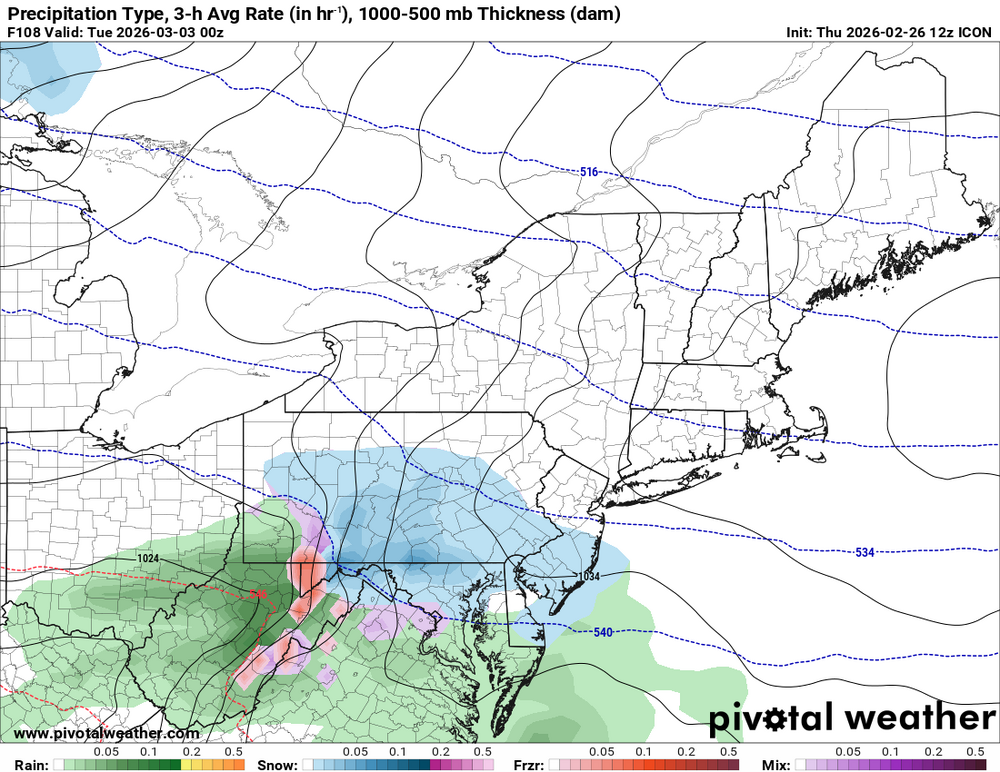
The RGEM was headed that way too it seemed.
-
31 minutes ago, Kitz Craver said:
I haven’t seen any guidance in recent runs still showing a solid SWFE, you?
None really getting up into SNE but I think it still could. I do believe though Sunday needs to go away or be very flat. Its noticeable on many Op runs and individual ensembles that those which are amped or more intense Sunday as a whole are flat or nonexistent with the second event.
-
1
-
July 2026
in New York City Metro
Posted
BID’s wind sensor looks like it got taken out. I wonder how strong they gusted