SnowGoose69
-
Posts
15,271 -
Joined
-
Last visited
Content Type
Profiles
Blogs
Forums
American Weather
Media Demo
Store
Gallery
Posts posted by SnowGoose69
-
-
-
LOL GFS only model to really get wetter anywhere from the MA to NJ at 00Z
-
10 minutes ago, winterwx21 said:
Looks like it was both.
Slightly but most have just weakened the system, the ICON is notably drier too
-
 1
1
-
-
3 minutes ago, winterwx21 said:
Yeah still enough time for a north bump. RGEM tonight looked lousy but HRRR and both NAMs looked ok, so it hasn't been a bad 0z suite so far. I'd love to see 3 to 4, but I'll be satisfied if we get 2.
Not sure the RGEM went south as much as it was just way drier, at least on the maps I have so far
-
Just now, NEG NAO said:
so in other words bust potential is higher then normal again for this event ?
I think positive bust more so somewhere where nobody thinks anything will happen or only 1-2 will be forecast. I would not think this one will be tough of a forecast nearer to the low center and better dynamics but yeah, I do think a zone in between will be marginally disappointed like this last event, that was partly due to UHI probably but even if it was 25F there'd have been notably lower amounts in NE NJ and NYC last storm
-
 5
5
-
-
As I said watch for jet dynamics to induce more snow in this event, even in areas which may be modeled to get little from the coastal. I suspect in this storm there will be a screw zone like last event, not for same reasons but lets take the 18Z RGEM as an example...obviously CNJ sees biggest amounts but I'd bet that places in NE PA/SE NY and NW CT there'd be some zone that gets like 4-5 inches while in between amounts are lower. It happens often in setups like this. The HRRR has notoriously nailed those jet induced snow maxes, even from 36-48 out and indeed if you look at the 18Z run from 34-38 you see that somewhat with that band over PA with a screw zone of lighter echoes between...once the coastal takes over more it sort of loses the snow everywhere and that idea does need to be watched here, but if we get this to tick a bit north it won't matter much.
-
 2
2
-
-
Compared to the GFS the UKIE is at the North Pole....difference with GFS seems to be its dropping the whole trof from Lakes/Canada down and just squashing the whole setup...it may also be ever so slightly slower exiting stage right the previous system but hard to say if that really had an impact
-
 1
1
-
-
1 hour ago, snowman19 said:
Yep. This one is following the strong Nino climo of warmth early-mid March warmup
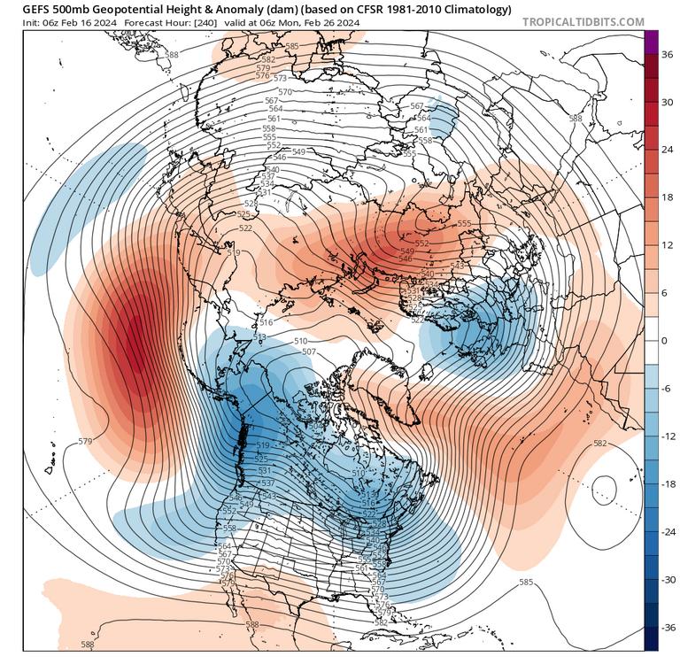
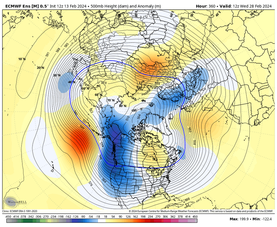
Ultimately ensembles did okay...we got the window 2/12-2/25 we thought we'd get and we might see 3 snow events out of it in the end if something latter next week works out.. the rule this winter was no pattern held for more than 10-14 days really and I expect the same happens again...the pattern 3/10-3/30 probably won't look anything like the one from 2/26-3/10 will.
-
 2
2
-
-
The RGEM/NAM difference is really just the strength of the S/W...the exiting storm is not really markedly causing more confluence on either model vs the other
-
 2
2
-
-
9 minutes ago, 40/70 Benchmark said:
It's the warm west PAC/-PDO.
I think people forget El Niños can fail because of reasons other than the massive Aleutian vortex too. 91-92 94-95 and 06-07 all in essence failed for reasons other than that. That said, none of those was anywhere near as strong as this one was
-
1 minute ago, Franklin0529 said:
Gfs got it also. Just little further south.
You can see the signature even on the low resolution (relatively speaking in 2024 modeling terms) GFS that expansion of light snow way north. This system due to the insane jet at 200-250mb is probably going to have an expansive area of snow far from the center if I had to guess
-
 4
4
-
-
31 minutes ago, brooklynwx99 said:
It probably won’t verify in the end. The various ensembles have no idea what the MJO is gonna do the next few weeks so it’s likely the idea won’t be close to what actually happens
-
 3
3
-
-
5 minutes ago, Franklin0529 said:
Friday night into Saturday light event maybe 2-4"
Decent chance if this makes a direct hit many places would do marginally better than they did today
-
 3
3
-
-
1 minute ago, CPcantmeasuresnow said:
I'm not there so I can't definitely say, but I know from decades of battle and observing their often times ridiculous measurements, this one may be a tad low too, just like many others they have shoved down our throats through the years.
Yeah its hard to believe ratios were 5:1
-
 1
1
-
-
My hunch is this misses to the south as of now but we all saw how well ideas worked on this storm from 3-4 days out
-
 1
1
-
-
.25 liquid last two hours, 1.7 snow so it’s under 10:1 by quite a bit so far
-
 1
1
-
-
Its been a long time since 12 hours before an event I have told someone NYC or LI is the best spot to be
-
 6
6
-
-
NYC might be in a perfect spot because inevitably with these dynamic systems with banding it tends to be 20-30 mi northwest of what many models show, if we keep seeing a slight south movement that could put them in the best area
-
 3
3
-
 1
1
-
-
Just now, ORH_wxman said:
This is prob what Feb 1989 would have looked like if we had the same frequency of model output back then.
If I remember right the NGM largely blew that storm. The LFM and others were never especially big on it at all but for whatever reason the NGM was bought hard by the forecast offices
-
2 minutes ago, Brian5671 said:
I always thought it was bad with NE Storms.
Tends to be too dry and too suppressed often times with deeper systems. It can do okay with the weaker lows
-
I tend to never trust any guidance in these scenarios where you don't have a setup like a 12/2005 where you see stupid gradients from say JFK to LGA....usually in these types of systems the gradient line sets up between Sandy Hook to SI/JFK or well NW of the metro...to see it on a storm of this setup be over top of the metro never really occurs though guidance sometimes tries to suggest it
-
 1
1
-
-
1 hour ago, Brian5671 said:
RGEM and ICON look good. Nice to see models basically holding serve. 6z Euro might have been a burp run.
the Euro was probably too far south but the RGEM being south of the NAM at this range probably means the Euro is not totally out to lunch.
-
There will be no issues with accumulation as of now, even for NYC. You have DPs on both the NAM/GFS at 12-18Z of 29-32 with winds of 010-040...that is easily going to be temps of 32 or even as low as 30 if the NAM is right and usually its thermals are better at the surface in these storms
-
 5
5
-
-
3 minutes ago, HVSnowLover said:
I think if 0Z Euro looks like the other models NYC will be under a WWA by the morning.
They'll be under a WWA I think no matter what, a WSW I doubt would come til 3-4pm tomorrow, even if the Euro dropped more south they'd probably go upper end WWA which is 3-5 I think for the time being
-
 4
4
-


Refresher snow & obs between ~midnight and Noon Sat Feb 17 2024
in New York City Metro
Posted
I think its still semi tough...you'll lose some to melting and 8-10:1 ratios the first 90 minutes probably...you'll end up 12-13:1 eventually but I still think its only going to be around 2-3 there.