

Birds~69
-
Posts
34,363 -
Joined
-
Last visited
Content Type
Profiles
Blogs
Forums
American Weather
Media Demo
Store
Gallery
Everything posted by Birds~69
-

E PA/NJ/DE Winter 2025-26 Obs/Discussion
Birds~69 replied to LVblizzard's topic in Philadelphia Region
Bid DT fan I see? DT guy? *Seriously, he's wishy-washy at best... 35F/Cloudy -
E PA/NJ/DE Winter 2025-26 Obs/Discussion
Birds~69 replied to LVblizzard's topic in Philadelphia Region
IMO, people are getting overly excited. Something maybe but some of these ridiculous total are just way far fetched. I'll be happy w/a solid 6" storm and then some cold... 44F -
Early Monday morning 2/16 last minute event OBS/Discussion
Birds~69 replied to The Iceman's topic in Philadelphia Region
36f -
Early Monday morning 2/16 last minute event OBS/Discussion
Birds~69 replied to The Iceman's topic in Philadelphia Region
Really didn’t expect it till much later 9pm+…some breeze as well. -
Early Monday morning 2/16 last minute event OBS/Discussion
Birds~69 replied to The Iceman's topic in Philadelphia Region
There’s some flakes falling… -
Early Monday morning 2/16 last minute event OBS/Discussion
Birds~69 replied to The Iceman's topic in Philadelphia Region
37F, radar looks decent. Some overnight fun would be nice and if it snows that would be great as well... -
Early Monday morning 2/16 last minute event OBS/Discussion
Birds~69 replied to The Iceman's topic in Philadelphia Region
Looks like 48F will be the high... -
Early Monday morning 2/16 last minute event OBS/Discussion
Birds~69 replied to The Iceman's topic in Philadelphia Region
The edges but mainly 4-6"+ lawns otherwise and shopping center parking lots mounds 7-10'+ mounds.... -
Early Monday morning 2/16 last minute event OBS/Discussion
Birds~69 replied to The Iceman's topic in Philadelphia Region
^ Barely noticeable...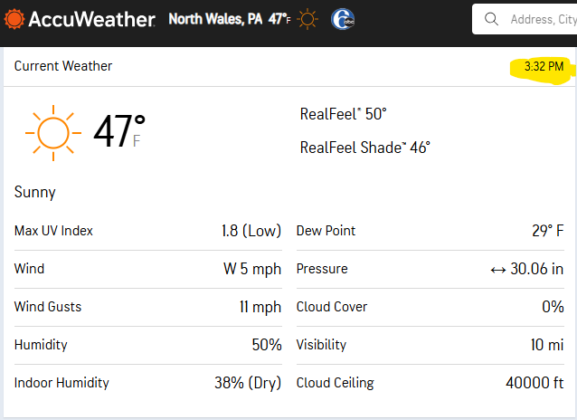
-
Early Monday morning 2/16 last minute event OBS/Discussion
Birds~69 replied to The Iceman's topic in Philadelphia Region
I'm not digging it...too early. -
Early Monday morning 2/16 last minute event OBS/Discussion
Birds~69 replied to The Iceman's topic in Philadelphia Region
-
E PA/NJ/DE Winter 2025-26 Obs/Discussion
Birds~69 replied to LVblizzard's topic in Philadelphia Region
A inch would do. Freshen stuff and jive things up. 45F/Sunny, really kicking out there... -
E PA/NJ/DE Winter 2025-26 Obs/Discussion
Birds~69 replied to LVblizzard's topic in Philadelphia Region
Does AI understand we have glaciers hanging around and accounts for that (colder temp) or it has nothing to do with it and I'm a idiot? 33F -
E PA/NJ/DE Winter 2025-26 Obs/Discussion
Birds~69 replied to LVblizzard's topic in Philadelphia Region
34F/overcast...tad more winds than I expected. -
E PA/NJ/DE Winter 2025-26 Obs/Discussion
Birds~69 replied to LVblizzard's topic in Philadelphia Region
Man oh man, I wish you were my teacher in grade/high school. Even the slightly above average students would receive an A which they didn’t earn… 36f -
E PA/NJ/DE Winter 2025-26 Obs/Discussion
Birds~69 replied to LVblizzard's topic in Philadelphia Region
Ain’t going to lie., not too thrilled About the future unless I’m missing something…. Winter grade as of now: B 36f -
E PA/NJ/DE Winter 2025-26 Obs/Discussion
Birds~69 replied to LVblizzard's topic in Philadelphia Region
I'll give you that and gives time for snow to stick around like this year. Back-end winters suck. No early Spring for me. Keep temps below normal for as long possible... 34F -
E PA/NJ/DE Winter 2025-26 Obs/Discussion
Birds~69 replied to LVblizzard's topic in Philadelphia Region
He’ll probably run in dual mode. Flood and ice jam guy…. 25f -
E PA/NJ/DE Winter 2025-26 Obs/Discussion
Birds~69 replied to LVblizzard's topic in Philadelphia Region
I was thinking Mike Seidel from the weather channel at first till I smacked the cobwebs outta my brain. You probably could be a red tagger if you upload your fancy degree paperwork stuff... 23F/Sunny -
E PA/NJ/DE Winter 2025-26 Obs/Discussion
Birds~69 replied to LVblizzard's topic in Philadelphia Region
Thinking 75-80s with spotty 90s in highly urbanized areas… -
E PA/NJ/DE Winter 2025-26 Obs/Discussion
Birds~69 replied to LVblizzard's topic in Philadelphia Region
Looks too warm from my eyes…. -
E PA/NJ/DE Winter 2025-26 Obs/Discussion
Birds~69 replied to LVblizzard's topic in Philadelphia Region
Hopefully it means a continued cold winter which will extend well into late Spring followed by double digit below normal temps during Summer with clouds and rain most of time... 14f -
E PA/NJ/DE Winter 2025-26 Obs/Discussion
Birds~69 replied to LVblizzard's topic in Philadelphia Region
Healthy upright Chip… 8f -
E PA/NJ/DE Winter 2025-26 Obs/Discussion
Birds~69 replied to LVblizzard's topic in Philadelphia Region
His face planted in the ground…foreshadow, our remaining Winter? 6F -
E PA/NJ/DE Winter 2025-26 Obs/Discussion
Birds~69 replied to LVblizzard's topic in Philadelphia Region
Those areas where there’s fields/open space on both sides of the road the blowing snow creates havoc… 3F


