

Cfa
-
Posts
4,665 -
Joined
-
Last visited
Content Type
Profiles
Blogs
Forums
American Weather
Media Demo
Store
Gallery
Everything posted by Cfa
-

June 2020 General Discussions & Observations Thread
Cfa replied to Rtd208's topic in New York City Metro
Clouds interfering, high so far is 86. -
June 2020 General Discussions & Observations Thread
Cfa replied to Rtd208's topic in New York City Metro
85/71....will we sneak in a 90? -
June 2020 General Discussions & Observations Thread
Cfa replied to Rtd208's topic in New York City Metro
It certainly seems like that part of the region (SNJ/SEPA) is a derecho magnet, at least more so than anywhere else. -
June 2020 General Discussions & Observations Thread
Cfa replied to Rtd208's topic in New York City Metro
Yeah I got 0.42” here with that downpour, not bad at all but we’re gonna need more than that to stave off a drought. -
June 2020 General Discussions & Observations Thread
Cfa replied to Rtd208's topic in New York City Metro
First legitimate downpour in ages. Decent amount of thunder and lightning. Edit: Rainfall rates are higher than my monthly rainfall total for May. -
June 2020 General Discussions & Observations Thread
Cfa replied to Rtd208's topic in New York City Metro
Labor Day ‘98 vs Sept 16, 2010? I’ve no conscious memory of anything in 1998. -
June 2020 General Discussions & Observations Thread
Cfa replied to Rtd208's topic in New York City Metro
80/70 (HI 83) out there now. -
June 2020 General Discussions & Observations Thread
Cfa replied to Rtd208's topic in New York City Metro
0.05” with those showers, and nothing overnight. 74/70 with the sun coming back out, first 70+ dew point after numerous 68/69’s. -
June 2020 General Discussions & Observations Thread
Cfa replied to Rtd208's topic in New York City Metro
-
June 2020 General Discussions & Observations Thread
Cfa replied to Rtd208's topic in New York City Metro
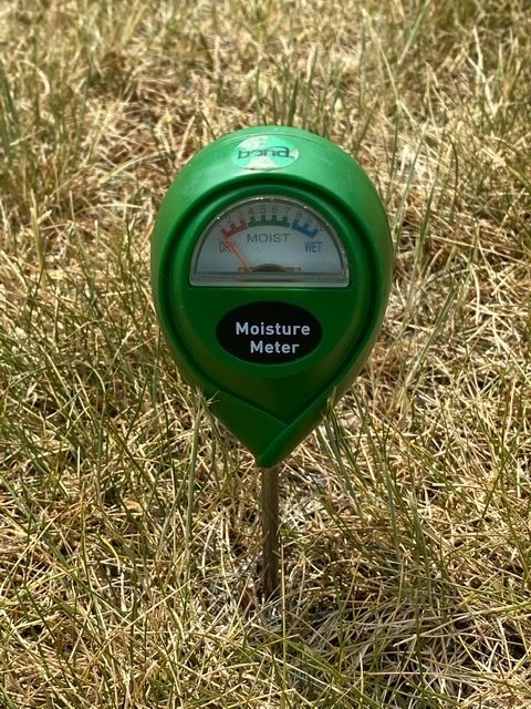
Idk, I’d say we’re already there, soil is bone dry several inches down and the grass isn’t pretty.
-
June 2020 General Discussions & Observations Thread
Cfa replied to Rtd208's topic in New York City Metro
Enhanced Risk always is the kiss of death out here. -
May 2020 General Discussions & Observations Thread
Cfa replied to Rtd208's topic in New York City Metro
Be glad it isn’t June of 1949, JFK recorded no measurable precipitation, only a trace, which is effectively nothing. JFK - 0.00” NYC - 0.02” LGA - 0.03” EWR - 0.07” -
May 2020 General Discussions & Observations Thread
Cfa replied to Rtd208's topic in New York City Metro
84, warmest day so far this year. Second 80+ of the year as well. -
*80 degree dew point.
-
May 2020 General Discussions & Observations Thread
Cfa replied to Rtd208's topic in New York City Metro
1.58” for the month so far. Driest month since last September which had a paltry 0.90”. -
May 2020 General Discussions & Observations Thread
Cfa replied to Rtd208's topic in New York City Metro
Topped out at 73, got a bit of clearing before it clouded back up and temps dropped back down. Currently 65 with low level clouds racing to the northeast = southwesterly wind = a welcome change. Ready for 80’s tomorrow. -
May 2020 General Discussions & Observations Thread
Cfa replied to Rtd208's topic in New York City Metro
Central Jersey ftw. -
May 2020 General Discussions & Observations Thread
Cfa replied to Rtd208's topic in New York City Metro
Lol temps shot up then shot back down. -
May 2020 General Discussions & Observations Thread
Cfa replied to Rtd208's topic in New York City Metro
69/66, sun peaking through here and there, temps should take off soon. -
May 2020 General Discussions & Observations Thread
Cfa replied to Rtd208's topic in New York City Metro
The last 8 days have all been AN for me, though not quite summer-like just yet. -
May 2020 General Discussions & Observations Thread
Cfa replied to Rtd208's topic in New York City Metro
High of 75, low of 62. Cloudy all day. 0.07” so far today; 1.50” for the month of May. -
May 2020 General Discussions & Observations Thread
Cfa replied to Rtd208's topic in New York City Metro
Dew point maxed out at 69, almost the first 70. Temp topped out at 77. -
May 2020 General Discussions & Observations Thread
Cfa replied to Rtd208's topic in New York City Metro
74/66 Skies cleared out earlier than both yesterday and the day before, wasn’t expecting to see much clearing today. -
May 2020 General Discussions & Observations Thread
Cfa replied to Rtd208's topic in New York City Metro
It’s nice here too. -
May 2020 General Discussions & Observations Thread
Cfa replied to Rtd208's topic in New York City Metro
Another 75 degree high today, cleared out much more quickly than yesterday though.
