EastCoast NPZ
-
Posts
9,710 -
Joined
-
Last visited
Content Type
Profiles
Blogs
Forums
American Weather
Media Demo
Store
Gallery
Everything posted by EastCoast NPZ
-

January 16-17, 2022 MLK storm obs/now cast
EastCoast NPZ replied to George BM's topic in Mid Atlantic
You missed one. ...nevermind, it's Hopewell, not Hungwell. -
January 16-17, 2022 MLK storm obs/now cast
EastCoast NPZ replied to George BM's topic in Mid Atlantic
The French would be proud of that retreat. -
January 16-17, 2022 MLK storm obs/now cast
EastCoast NPZ replied to George BM's topic in Mid Atlantic
Low of 7F before the high clouds rolled in. Currently 9 / 3. -
January 16-17, 2022 MLK storm obs/now cast
EastCoast NPZ replied to George BM's topic in Mid Atlantic
It is. He's being sarcastic and trolling clskinsfan. Lol. -
Yes. Wind would mix the surface inversion, scouring out the low level cold . I don't buy any depiction showing a windy freezing rain scenario.
-
I don't recall, but have any of our big snowstorms became stacked south of us? We all know the perfect track of the SLP, but what is the optimum track of the 700 and 500 lows? Where do we want the capture to occur?
-
Dr. No Clue still thinks you're getting 8 inches and me 11.
-
But the models haven't yet ingested the effects of the Tongan volcano eruption!
-
The ice line ends up a full 2 states to the west....in 2 days time. Lol
-
Yeah, and added to the fact that MET winter is now 1/2 over and we're sitting at 16% average snow fall. What a ****show.
-
This is trending into a debacle.
-
I need to ask..... Why is that NS SW phasing with our storm rather than acting as a kicker?
-
Or routes 7 and 340.
-
For you it did. For me it showed 4 inches.....and about 5 miles from a dusting!
-
Another brutal western cutoff.
-
Mid-Atlantic forum winter 2021/22 snow totals thread
EastCoast NPZ replied to North Balti Zen's topic in Mid Atlantic
Cross Junction, VA Jan. 6-7: 6.5" Jan. 16: 6.0" (flipped to sleet) Jan. 28: 1.5" (coastal bomb) Feb. 12: 1.5" Total: 15.5." -
Nice!
-
I did. Nice storm . Perfect powder. Ground blizzard currently though.
-
Good to hear! Good luck!
-
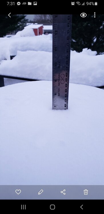
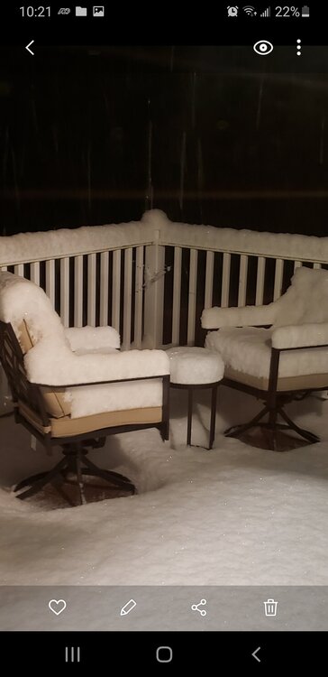
I might have more snow than I thought. Its looking deep!
-
And it's off here now. Lol. Picked up about 2 inches though before it quit snowing.
-
Crazy man. Sorry. But its piing up here nicely. Its got to get to you guys soon.
-
Wow. That's surprising. It's coming.
-
Crap.
-
At least an inch. Huge parachutes atm