

Jackstraw
-
Posts
2,268 -
Joined
-
Last visited
Content Type
Profiles
Blogs
Forums
American Weather
Media Demo
Store
Gallery
Posts posted by Jackstraw
-
-
13 minutes ago, Chambana said:
Snowing at 1 degree, this is awesome.
Just went for a short drive. 1” of powder already turning the roads into a disaster with a 20mph wind, already causing blowing snow. I hate to imagine what they will be like later with 6-10”. probably impassable.
Yeah I live on an E-W road that can drift pretty good with a N wind. I could see from your area over to west central OH getting really bad later this evening. If that second system pans out theres no way county crews will be even close to keeping up. We're already planning on potentially being stuck till Friday at least.
-
Say what you want, if this comes to fruition over the next 4 days I think it's pretty epic. That's like a 2500 mile stretch of 6+ inches of snow in 96 hours...

-
 2
2
-
 1
1
-
-
Quick Stanley slant stick measurement of 1.5 so far. It's hyper fluff. It's the kind of flakes your instincts tell you not to touch because they'll cut you lol. Still steady SN. The models are similar 48 out as to this 06Z HRRR run. In at least the 9 years I've been back up here I've never seen a 2 day model run like this, from S Texas to Nova Scotia, with these kind of amounts that have a higher than usual confidence level of verifying. Especially snow amounts through the entire part of the sub that usually has to Nickle and Dime our way to a 25+ inch season and deal with Ptype issues more than most. A "Dickens" kind of event, the orphans get to cash in for once
") But seriously, this map is pretty amazing especially since it may come close to being reality over the next 48 hrs. Still worried about wind out in the stix, some folks could very well get stuck where they're at until Friday or Saturday including myself, if some of these longer range amounts and stronger winds come to fruition. Sorry for the non scientific post, just a late night commentary of what may be to come. This week could go down as one of the best ever in these parts. I'm going to enjoy every damn minute of it, may not see it again until 2030 or longer around here if it plays out lol.
But seriously, this map is pretty amazing especially since it may come close to being reality over the next 48 hrs. Still worried about wind out in the stix, some folks could very well get stuck where they're at until Friday or Saturday including myself, if some of these longer range amounts and stronger winds come to fruition. Sorry for the non scientific post, just a late night commentary of what may be to come. This week could go down as one of the best ever in these parts. I'm going to enjoy every damn minute of it, may not see it again until 2030 or longer around here if it plays out lol. 

-
2
-
-
SN here for the last 30 minutes, straight down, no wind. I'm amped
-
5 minutes ago, RobertSul said:
9+ inches of snow and a temperature of 6 degrees.
Their average low is 33 this time of year.
Down by Brownsville lmao...
Location: 2 SW COMBES, TX
Description: Freezing Rain
Magnitude: 0.01 INCH
Report Time: 10:41 pm EST - 2/14/2021
Remarks: REPORTS OF SLEET AND ICE ACCUMULATING ON TRASH CAN.Edit: Can't help myself but thats a first description for me, and on Valentines day no less. I'm torn between laughing and sorrow. I mean it could be Grapes of Wrath shit

-
2
-
 4
4
-
-
Fat snow amounts coming out of the Abilene area, 9+ and still +SN. Save some for us man! lol
-
That 00Z NAM run through Thurs morning, I'm gonna need a bigger crack pipe lol

-
1
-
 1
1
-
-
9 minutes ago, KokomoWX said:
My hopes are high over in OKK too.
Get out early to enjoy it. This one could get scary out in the stix Monday night. I'm gonna be out with an extra 300 lbs in the back of the truck but don't think I'll venture too far from the homestead the later it gets Monday night. Just want to see if the drifting pans out like I think it will. Got a feeling its going to be Sahara desert dunes in the country lol
-
2 minutes ago, IWXwx said:

You forgot the damn squirrels! lol Happy little
map 
-
5
-
-
3 minutes ago, Snownado said:
The Ohio people were scaring me saying the NAM looked horrible. Still looks great for much of Ohio !
Not sure how long you've lived in Indy but if this week pans out embrace it. This is potentially a once every 10-20 year setup IF it happens.

-
1
-
-
Might put the Xmas tree back up for the week
-
1
-
-
1 minute ago, cyclone77 said:
Last Sunday the high was -2, this Sunday our high today was -1. One heck of a stretch it's been.
Consistency, gotta love it
-
Couple things, this is Galveston TX P&C thru tomorrow. First thing is it is so nice to see what my usual daily winter forecast is copied and pasted 1500 miles to the south lol. Second, 1-3 inches snow and sleet on Galveston Island? That's a pretty big deal
TonightRain showers before 2am, then rain showers and sleet between 2am and 5am, then rain, snow, freezing rain, and sleet after 5am. Low around 29. Wind chill values between 15 and 25. Windy, with a north wind 20 to 30 mph, with gusts as high as 35 mph. Chance of precipitation is 90%. Little or no ice accumulation expected. New snow and sleet accumulation of 1 to 3 inches possible.Washington's BirthdayRain, snow, freezing rain, and sleet likely before 9am, then a chance of snow showers between 9am and noon. Mostly cloudy, with a high near 31. Wind chill values between 15 and 20. Windy, with a northwest wind 20 to 25 mph, with gusts as high as 35 mph. Chance of precipitation is 70%. Little or no ice accumulation expected. New snow and sleet accumulation of less than a half inch possible.-
1
-
-
1 hour ago, A-L-E-K said:
Everyone having a romantic valentine's day?
Well tiss weenie day on my limb of the evolutionary tree and she's at work so, um, hell yeah

-
1
-
-
50 minutes ago, Snownado said:
Not that it will happen, but when is the last time IND had two snowstorms of 10" in a 3 day period ?
My college roommates and I at Purdue bet on a similar scenario of bringing home two Double Digits in a 3 day weekend. I can just say nobody won
-
2
-
-
1 hour ago, Hoosier said:
At least I-65 will be smooth sailing with no problems.
I set you up for that one lol
-
Growing more concerned with the wind with this thing. May not be a big deal in city/town centers but outside of those we could be looking at some serious drifting. We've got 3-4 foot ice guard rails out here in spots from plowing the drifts from last week with 10-15KT N winds over 3-4 inches of fresh cold powder on top of the glacier/snowpack. Models and offices have been slowly amping winds, especially Monday -Wed, from 10 to 15KT to 15-20 with gusts to 25KT's. All from the NNE/N for at least 48 hrs or longer. I can see hwy's like 32, 28 and 24 in IN even being highly impacted besides the secondary country roads. Could even possibly see I-70 in east central IN having some issues especially if winds continue to slowly climb. If we do get 6-10 or more of this fluffy powder it's not going to take much to move it around this glacier. Could easily see some drifts as high as 6 feet in some of the notoriously bad spots around here. I know that wind doesn't sound like a lot but I would compare it to a 29 degree December 6 inch 12:1 snow with 35 KT winds. Let the fun begin

-
2
-
-
4 minutes ago, Chambana said:
The high ratio snow mixed with the gusts of 20-25 will create a disaster. It’s not going to take much wind with this fluff.
Yeah hoping for minimal wind once this stuff turns to sugar. Always seems like we're the last to see a plow out where I'm at. Plus its going to be falling on top of a mini Cyclone77 glacier so little resistance to hold it in place.
-
My dogs have been howling for the last 20 minutes. They never howl midday. It's happening.
-
1
-
-
I'm within my model semi trust range of 24hrs. Some of the 06Z runs are pretty impressive with synoptic snow of 6in up to Chicago. I'm going to call 8 here by 12Z Tuesday. I think some of the lower amount models are undercutting ratios, some as low as 12:1 from some of the soundings. Not buying .4 -.5 qpf through 72 hours with 5 or 6 inches of snow. We should see 15:1 minimum around here even with fairly warm 700mb temps at times. Think its going to be more like a "mountain" snow with cold temps and a pretty deep DGZ nearly to the surface, light wind, nice size flakes, moderate to heavy at times, but a solid 24hrs of it.
-
1
-
-
15 minutes ago, Hoosier said:
Should have no problem making the fence completely disappear by Monday

90 miles and a lake makes quite a bit of difference in the winter eh?
-
14 minutes ago, HighTechEE said:
Galveston has a Winter Storm Warning: https://forecast.weather.gov/MapClick.php?lon=-94.85194444656372&lat=29.293585232633333
Bet its been a while since they've had one of those.
I lived down there in the early 80's. Got a surprise inch of snow and .10 of ice very early on a Monday morning. The interstates looked like a July evening at a local Midwest demolition derby track when all was said and done. They had no clue you couldn't go 70 mph on that lol.
-
1
-
-
FWIW 18Z GFS ticked NW
-
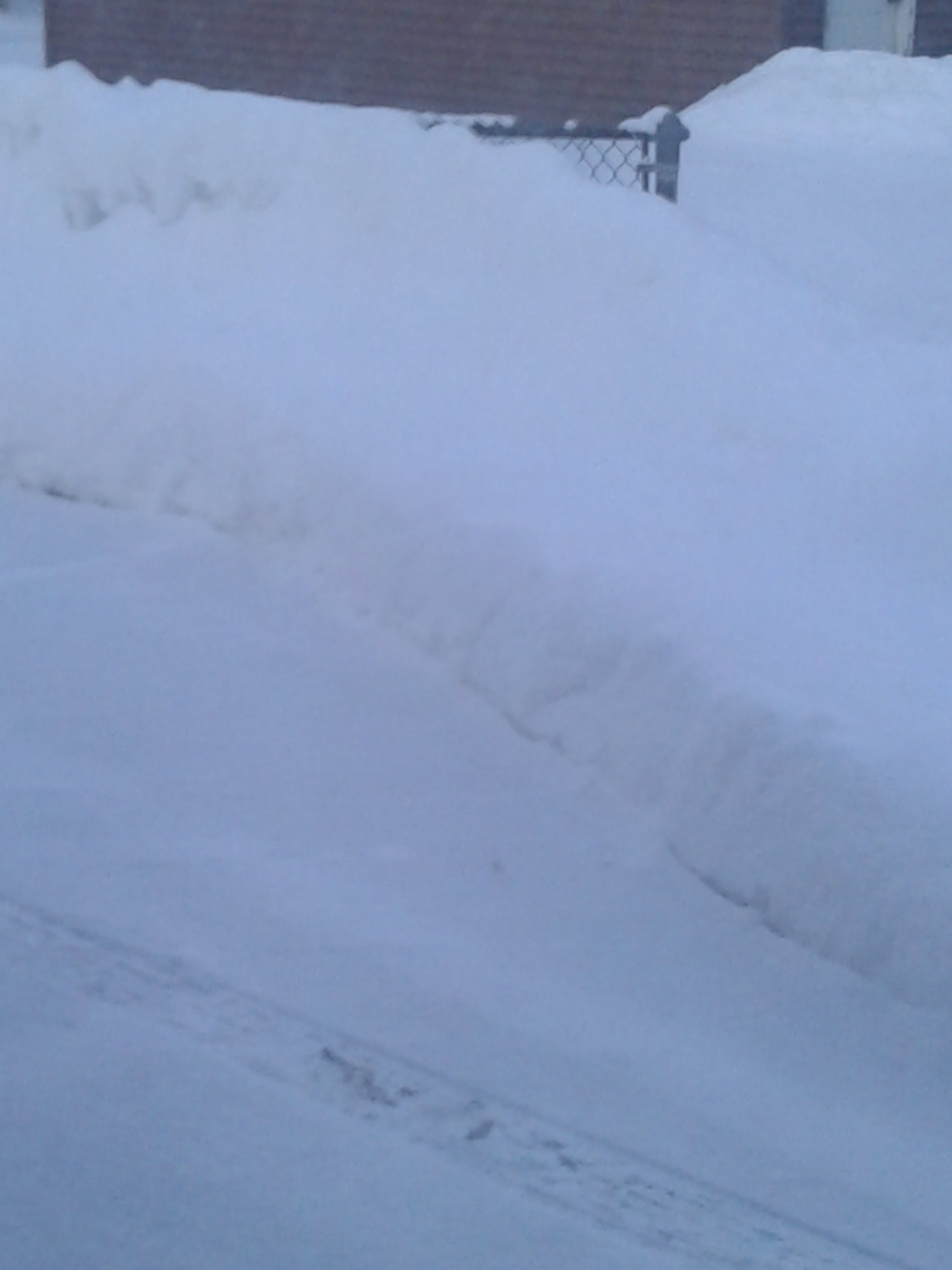
With this little burst of 2 inches this afternoon and evening we've got a decent 6-7 inch snowpack going and looks like it's going to stay and get built on for possibly 2 more weeks. Like I've said before, maybe 1 out of 4 winters do we get to enjoy this. Also we had some really good drifting out here in the country late this afternoon and evening. Some stout 24 to 30 inch drifts on the E-W roads in places, 2 footers common place, some roads impassable without a 4wd. Joys of living in the stix
-
1
-

February 14-16 Winter Storm Part 2
in Lakes/Ohio Valley
Posted
Lmao, that is Sebenste worthy right there. Best AFD I've seen in years.