weatherwiz
-
Posts
79,817 -
Joined
-
Last visited
Content Type
Profiles
Blogs
Forums
American Weather
Media Demo
Store
Gallery
Everything posted by weatherwiz
-
Yeah that could be the case. Have to watch what 925/850 dews are like too. Despite the WNW flow there will be 70's dews well into the upper-Midwest and into Canada there...so while we naturally would mix down with a WNW flow it will be a question of how much can we mix them out...of course too any fronts or sfc troughs where we get sfc winds more WSW will help pool dews a bit
-
It's brutal...and if you get anything other than like one item, they usually make you go park and someone will bring the food out to you lol. Probably a means so they can "increase" their drive thru time. But the times are ridiculous at any drive thru place...but I think its just because those places are so understaffed.
-
You can't really call it fast food anymore. The wait time getting to place your order, then the wait time to place the order, the wait time to get to the window to pick up, and the wait time at the window for the food...its like 7-12+ minutes.
-
No, I may have to stop by McDonalds after.
-
THEY HAVE DOUBLE????
-
Unfortunately, unless something makes its way into Connecticut I will not be able to go around chasing Thursday, back to work. For my two weeks next year though, it's definitely going to involve going out west. Just have to pick the two week period. But if I am ever going to do that, well that has to happen very soon.
-
We better get 90’s and 100’s into September. This is fooking awful
-
He didn't say that...he just said what was exciting about the sounding you posted
-
Of course GFS with a solid severe setup for Thursday
-
Heat advisories within Alaska.
-
I wonder if we will ever see a high risk issued in the Northeast again
-
I did not
-
Is this going to be worth staying for? Or better yet…have to travel somewhere for. Saw K Index 7 or greater expected.
-
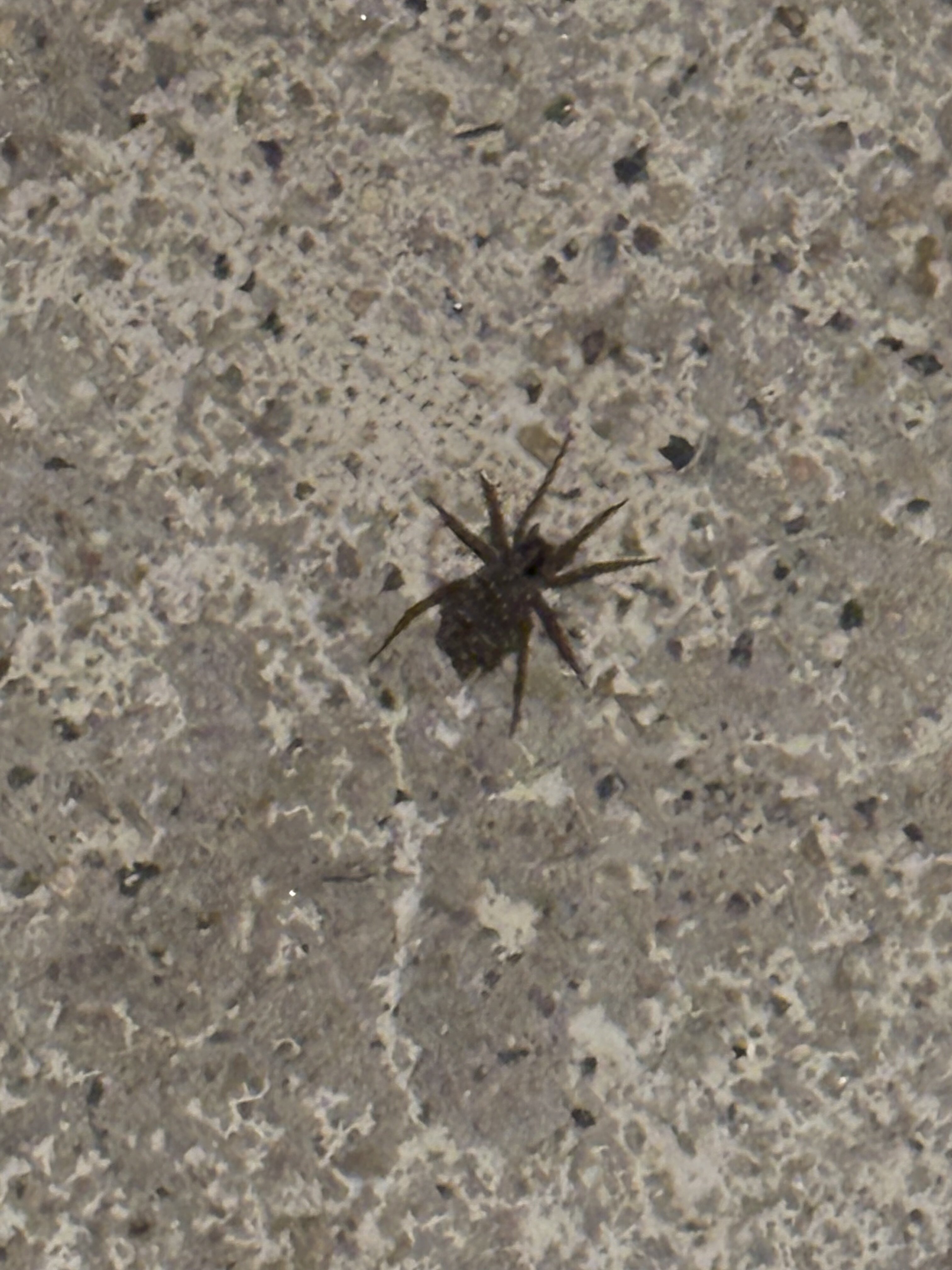
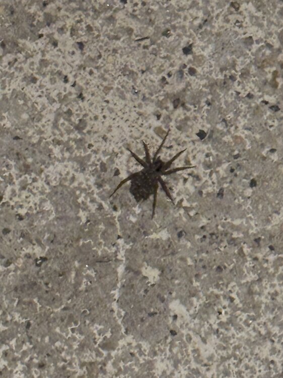
Pregnant wolf spider when I walked outside with the dog
-
Not that I’ve ever had one but from what I’ve heard from people who have gotten them is the procedures have come a substantial ways over the last few decades. My boss from my first part time job had to have both knees replaced back in like the early 2010’s. He was back golfing within several months.
-
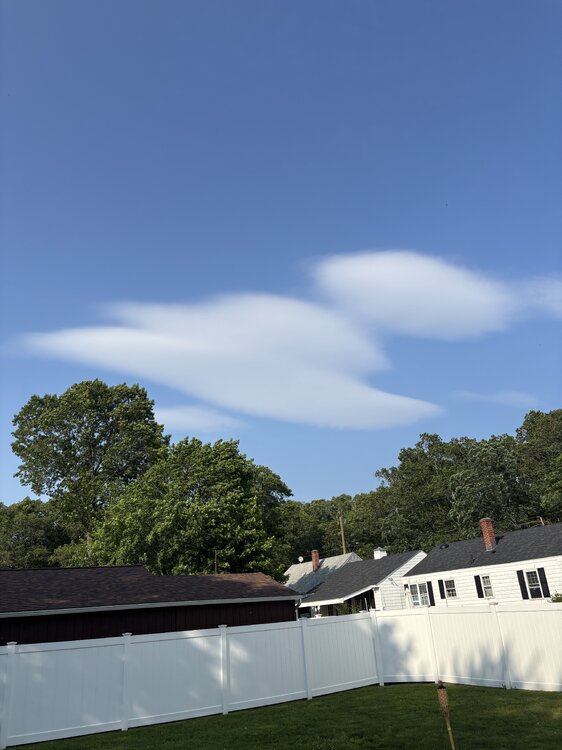
Oh wait…that is facing northeast though…Mount Tom is northwest
-
Wow don’t really see a lenticular cloud so far from a mountain…unless this is a fake lenticular look alike
-
and what a supercell there in Idaho
-
Looks EMLish
-
Just a quick glance but I would suspect something in the 85-87 range.
-
6z MAV for BOS tomorrow: 90 0z MET: 82 7z NBM: 84
-
Ahhh wtf they’re out of Fish Filet. Well that ruined a great day
-
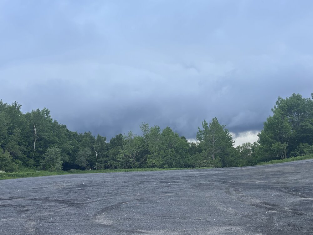
At the rest stop in Blanford. Gusty along the leading edge. Going to celebrate a fun trip with a fish filet meal from McDonald’s
-
Getting closer. It’s cool seeing air rising up into the storm