
weatherwiz
-
Posts
81,985 -
Joined
-
Last visited
Content Type
Profiles
Blogs
Forums
American Weather
Media Demo
Store
Gallery
Everything posted by weatherwiz
-
Well this I agree with. Had they executed better, the transition would have been much more smooth and they could have avoided these years of total garbage.
-
I mean it was all bound to not only come down but crashing down. Look at any franchise across any sport that went on to have prolific, long-term success, not only do they come crashing down but it can take several-plus years to really re-bound. Maybe football is easier but when you go so many years with bottom of the round picks, its going to be extremely difficult to bring in young talent...so what do you do? Well, you almost have to "get lucky" and try to find players who may be overlooked and get that steal.
-
I'd have to agree with this.
-
Been thinking about it the past few days and I'm ready for fall/winter. I'm getting excited to have football back and hockey starting soon. It will also be fun tracking how the Celtics do (but I can't get myself to watch regular season games). This was a fun summer though I always wish I could be outside more. I try to work outside every now and then and would go outside and play with the dog 2-3 times a day. The past 2 months have been difficult though with the dog situation and other stuff so haven't gotten to enjoy outside as much as I would want too. I just hope though this winter has something to offer. I hope its an active winter...even if that just means several 3-5'' events. One giant event (12-18+) in a winter of dud...I mean that is fantastic in the moment leading up to and during the event but that feeling wares off after a while. I don't want to have another situation of getting caught up in these, "the D8-10 or whatever" EPS looks good...and then all of a sudden you're chasing and chasing and before you know it 6+ weeks of the season is gone.
-
ehhh at least with severe we have that 1% chance of actually getting a major outbreak
-
I'm just ready to punt the rest of summer. May as well get used to punting anyways with the Pats season starting soon.
-
Those maps (which quantify temperature/precipitation probabilities) for a given stretch of time I think are nonsense, particularly during the transition seasons. But yeah you're right...all that map is really indicating is there is a 50-60% chance of that period being below-average. But I would like to know what is being weighted in those forecasts.
-
I have to violently disagree with that map. I see a day or two or average to a bit below-average behind the front but we warm very quickly
-
missed to the west and east here
-
he had nickel hail
-
friend in Avon just texted me hail there. trying to get a size
-
the shear is kind of weak but anytime you get intense thunderstorms over the ocean I suppose waterspouts can't be ruled out.
-
yes
-
This is by far and away the best setup of the summer. Still looks like the greatest potential is just southwest but this is close enough to keep an eye on. Talking about mlvl lapse rates 7-7.5 C/KM atop of dews near the mid 70's and 40+ knots of bulk shear.
-
The 12z NAM doesn't look terrible for SNE. Going to have to watch this closely over the next day
-
Looks like for today they'll be hail watchers
-
Big time differences in some of the guidance but I am inclined to side with the NAM in these setups. But convection today/tomorrow across the Plains into the OV is going to be a big player in all this too.
-
Definitely going to need some boundaries for enhancement given how poor the llvl flow is. CAPE though is pretty decent for these mlvl temps and there is good mlvl shear so storms that do develop and get good cores should sustain.
-
Saturday looks iffy with warm front moving through with some showers but the cold front moves through evening or overnight. May have to deal with some showers/thunder around for a part of Sunday but high pressure will be building in so second half of Sunday may be fine and right now Monday looks to be pretty decent.
-
Wednesday could be a big day, particularly west of here. Late show here but severe threat should persist into the overnight. EDIT: Lots of model uncertainty though with placement of some of the key features but with EML associated this should be watched. EML may weaken though as it approaches our area.
-
It has been an ongoing debate on these boards for many years and something I always go back and forth on, but I’m not so sure you can use one storm (whether it be severe, winter, tropical) to characterize a season as a whole. Sometimes the higher end events are more of a product of the short-term pattern and how the pieces evolved and interacted versus the overall regime or what regime dominated during that season. when it comes to this tropical season, what was the biggest focal point from many of the tropical forecasts? It was the forecast of a record named number of storms and these forecasts blew any previous forecasts for nunber of storms out of the water. At least up until now, can you really say this has been a wild season, regardless of what what some index says? We’re definitely going to see more storms and there certainly will be potential for major hurricanes and land falling hurricanes, however, it’s been a total dud versus expectations…period.
-
Upper-level low pressure dives southwards into New England through the day Sunday while briefly closing off at H5 during the day Monday. Associated with the upper-level low will be an impressive cold pool characterized by H5 temps around -13C to -15C with mid-level lapse rates on order of 6.5 C/KM. This combined with surface temperatures ranging between the upper 70's to lower 80's with dewpoints into the lower 60's will contribute to modest CAPE with MLCAPE values on order of 1500 J/KG. Wind shear in the lowest 10,000 feet will be extremely weak, however, the region should be brushed by stronger 700-500mb winds on the southwestern side of the upper-level low. Based on the above, scattered-to-numerous showers and thunderstorms should develop by late morning to early afternoon across northern New England and progress southwards through the remainder of the afternoon. Combination of unseasonably cold mid-level temperatures, modest instability, and roughly 30 knots of bulk shear should be sufficient for storms to become organized. The strongest thunderstorms will be capable of producing hail (perhaps > 1'' in diameter in the most intense cores) and strong wind gusts. The weak low-level winds will mitigate the damaging wind gust potential, however, inverted V forecast soundings favor potential for localized damaging wind gusts, especially as any of the stronger cores collapse.
-
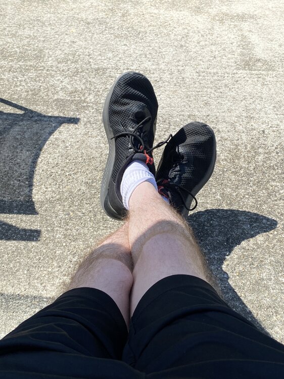
Here’s your shorts @CoastalWx
-
We have our marginal for Monday!!!
-
it’s hand sanitizer. The dogs recovery is super slow so we still have to help pee him so I wore gloves then put hand sanitizer on after instead of running inside to wash my hands and leave the dog outside because then he tries to jump up on the step towards the house but can’t make it.