

weatherwiz
-
Posts
81,150 -
Joined
-
Last visited
Content Type
Profiles
Blogs
Forums
American Weather
Media Demo
Store
Gallery
Everything posted by weatherwiz
-

July 2025 Obs/Disco ... possible historic month for heat
weatherwiz replied to Typhoon Tip's topic in New England
HRRR seems wonky with the dews...wonder if thats why? -
July 2025 Obs/Disco ... possible historic month for heat
weatherwiz replied to Typhoon Tip's topic in New England
Connecticut (particularly along and southeast of 84) and Rhode Island should be prime today -
July 2025 Obs/Disco ... possible historic month for heat
weatherwiz replied to Typhoon Tip's topic in New England
Not entirely shocked at the slight risk designation. We've had some worse setups get a slight risk designation That is a really well-defined s/w trough moving into the region with good height fields and increasing dynamics with cooling aloft. I would be shocked if storms aren't numerous tomorrow and evolve into multiple short-line segments or clusters -
July 2025 Obs/Disco ... possible historic month for heat
weatherwiz replied to Typhoon Tip's topic in New England
maybe! -
July 2025 Obs/Disco ... possible historic month for heat
weatherwiz replied to Typhoon Tip's topic in New England
the is one strong shortwave digging through tomorrow for early July. Convection (CONVECTION NOT SEVERE) should overperform. Thought maybe convergence could be a little meh but it doesn't seem bad. What we really need to watch are dews...if we can pool dews another 3-4F that would make things a bit more interesting for some localized severe weather. -
July 2025 Obs/Disco ... possible historic month for heat
weatherwiz replied to Typhoon Tip's topic in New England
Yup…don’t see that too terribly often here. Cool to see -
July 2025 Obs/Disco ... possible historic month for heat
weatherwiz replied to Typhoon Tip's topic in New England
animated.mov -
July 2025 Obs/Disco ... possible historic month for heat
weatherwiz replied to Typhoon Tip's topic in New England
Brother lives in new Britain and lighting hit something about 1/10th of a mile from his house -
July 2025 Obs/Disco ... possible historic month for heat
weatherwiz replied to Typhoon Tip's topic in New England
Those storms exploded along the outflow -
July 2025 Obs/Disco ... possible historic month for heat
weatherwiz replied to Typhoon Tip's topic in New England
Surprised at the 1” hail tag. Tough to get 1” hail in this setup. Poor lapse rates and very warm aloft. Would need a monster updraft to achieve that. -
July 2025 Obs/Disco ... possible historic month for heat
weatherwiz replied to Typhoon Tip's topic in New England
And it gets warned -
July 2025 Obs/Disco ... possible historic month for heat
weatherwiz replied to Typhoon Tip's topic in New England
Quite breezy out ahead of this -
July 2025 Obs/Disco ... possible historic month for heat
weatherwiz replied to Typhoon Tip's topic in New England
Also looks like some dewpoint pooling ongoing with a theta-e ridge overhead. MLCAPE ~2000 not bad given the poor mid-level lapse rates. Any severe risk though should be extremely localized. DCAPE is meh with pretty poor 2-6km lapse rates and llvl shear is not much. So just going to be some torrential rain (poor drainage flooding risk) and maybe some good CGs -
July 2025 Obs/Disco ... possible historic month for heat
weatherwiz replied to Typhoon Tip's topic in New England
It is! Seems to be evolving nicely. Satellite shows great upscale growth with cooling cloud tops. Might even be a weak sea breeze front which aids in development within south-central CT. -
July 2025 Obs/Disco ... possible historic month for heat
weatherwiz replied to Typhoon Tip's topic in New England
Not saying we see much severe but we may see a pretty solid line of torrential rain and thunderstorms evolve right along the 84 corridor. -
July 2025 Obs/Disco ... possible historic month for heat
weatherwiz replied to Typhoon Tip's topic in New England
short term trends looking favorable from about MA Pike into norther CT in a few hours -
July 2025 Obs/Disco ... possible historic month for heat
weatherwiz replied to Typhoon Tip's topic in New England
Only limiting factors I see towards greater coverage are the "lower dewpoints" - 60's aren't bad but would like to see like 68-70+ and llvl convergence looks a little weak. Anyways, steep lapse rates aloft and good height falls so can't sleep on it -
July 2025 Obs/Disco ... possible historic month for heat
weatherwiz replied to Typhoon Tip's topic in New England
Good call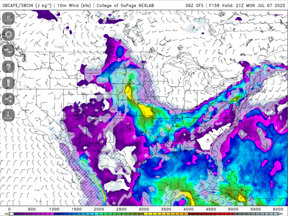
-
It's been a great gradual increase in warmth/humidity through the day. Working outside and I've really felt this increase in the last few hours. The sweat slowly develops and you can feel yourself starting to stick to the leather chair all so slowly...its like applying a fine strip of super glue to a broken piece of glass. My shorts are that glue
-
Torched mid-levels suck.
-
That is true But I think 2-6km lapse rates are a better metric to use when assessing damaging wind gusts potential versus the standard "low-level lapse rates" which I think are measured 0-3km?
-
hmmm...not sure what he is referring to with steep lapse rates. Mid-level lapse rates are garbage so I am assuming he means low-level lapse rates...but not sure how steep those are tomorrow regionally due to lots of cloud cover. Probably a better chance llvl lapse rates are steeper across southeast PA into NJ but not sure if they will be anything to write home about. Not sure I see much risk for an isolated tornado there...if any risk existed it would be in central New England, closer to the warm front. Winds down there veer more in the llvls as the warm front lifts farther northeast.
-
Tomorrow may not see much lol. It's extremely warm aloft. +9C to +10C at 700 and -7C at 500mb. Actually kind of sucks because forcing/shear isn't terrible.
-
It really blows. I would really kill for a repeat of 2008 with the constant cold pools. June and July were insane with the daily thunderstorms and hail. Would even be better if we could get 90's squall lines again but that seems like a distant thing of the past.
-
Yup...looks like best will be southwest (of course). Might have to watch central/northern New England though around the warm front. SPC hints at it too...but could be potential for a TOR or two if there is enough destabilizing there


