

wncsnow
-
Posts
5,733 -
Joined
-
Last visited
Content Type
Profiles
Blogs
Forums
American Weather
Media Demo
Store
Gallery
Posts posted by wncsnow
-
-
9 minutes ago, weatherfide said:
That potential storm is well out in fantasy land. I'm waiting on the GEFS for some ideas, though the last few runs of the GEFS haven't had many members with much snowfall in the southeast. Usually the means have been skewed by one or two big snow outputs.
We can't even win in fantasy land
-
 1
1
-
-
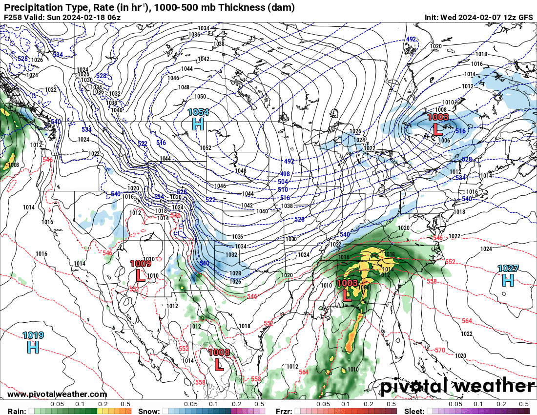
Darn you SE Ridge
.thumb.png.1be0e9c53691b10d46532c8870aec6f9.png)
-
-
39 minutes ago, GaWx said:
The -AO isn’t quite as strong as it was on yesterday’s GEFS, when it averaged -3.5 for 2/13-20. Today the period averages near -3.0. The chance for a sub -4 daily isn’t as high. Hopefully it won’t trend less negative in the coming days. A -3.0 would still make it the 3rd most negative for the period during El Niño. Also, the PNA prog for the period has risen from yesterday’s +0.5 to today’s +0.8.
Strongest -AO El Niño averaged 2/13-20 (lowest daily) out of 25 Ninos since 1952:
1969: -4.8 (-5.1) (PNA: -0.1)
2010: -4.4 (-5.1) (PNA: +0.7)
1978: -2.6 (-4.8) (PNA: +0.8)
1958: -2.5 (-4.0) (PNA: +1.1)
1970: -2.4 (-4.0)
1964: -2.4 (-3.4)
1987: -2.4 (-3.3)
1966: -2.2 (-3.5)
1952: -2.1 (-2.5)
1983: -2.0 (-2.7)
1977: -1.2 (-2.1)
2007: -1.2 (-1.9)
2005: -1.1 (-1.7)
Keep that PNA rising and I'm not as stressed about the AO.
-
 1
1
-
-
Can the negativity get over the top here? Sure. But so can the wishcasting for snow and cold. When many places haven't seen snow in over 2 years its tough to stay positive.
-
2
-
-
I find a forum that doesn't allow differing opinions to be a waste of time. Differing opinions and data points are always the way to go .
-
 1
1
-
-
If I had a dollar every time the Weeklies were wrong I could have a great time at the local strip club
-
1
-
2
-
-
5 hours ago, GaWx said:
The new Euro Weeklies are significantly colder along with more widespread cold vs recent runs for the period Feb 19-Mar 18. There’s now a solid signal for cold for much of the E US thanks to strong blocking at high latitudes as well as moderate blocking along the W coast. This more intense cold lasting well into March is likely being aided by the most bullish run yet for a mid-month major SSW, which on its own increases the chance for a cold E US starting 1-3 weeks later and which often lasts for several weeks after it starts.
Along with this forecasted cold, the Weeklies maintain an El Niño induced subtropical feed of moisture in the GOM and up along the SE coast. All of the SE is NN to wetter than normal. So, the SE may very well get more winter storm opportunities into mid March! This winter appears to be a long way from ending.Don't worry it will change next run, it always does.
-
1
-
1
-
 1
1
-
-
So, when are the Ops going to start showing this great pattern? We are starting to get in better range and its looking like more of the same. Get cool for a few days, warm up, rain, get cool for a few days, warm up, rain.
This is not exactly arctic air day 9. So are we thinking February 20 or later? April?
.thumb.png.b9e4661a48ceef793e9081f098f3a24f.png)
-
1
-
1
-
-
I just hope we have a lot of days like today and not many dreary CAD upper 30s and rainy days the next few months.
-
1
-
-
Tick Tock
-
I wonder if @Rainforrest will see any flurries tonight. If this system trended north I think the higher elevations would have gotten rounded
-
1
-
-
4 minutes ago, kvegas-wx said:

DT is an expert?!?
He has a degree in what I'm not sure
-
Who's gonna crank up the spring thread?
-
1
-
-
19 minutes ago, Met1985 said:
You need to move to Aspen Colorado.
People act like the foothills should be happy to see snow every 3 years like we don't average 8-12 inches of snow a year.
-
3
-
1
-
-
17 minutes ago, Met1985 said:
You need to move to Aspen Colorado.
I have a good friend in Steamboat. Even DT is saying there is no reason to be excited. Add him to the list of experts saying we are screwed.
-
2
-
-
12 minutes ago, GaWx said:
12Z EPS:
-Unlike the GEFS/GEPS and although there are some wet members, there are many dry members and thus the mean is dry/BN in the SE. But keep in mind that it ends 24 hours earlier though it is drier through 2/19 for sure.
-Although there are a good number of very cold members, they are balanced by a good number of mild members late in the period. Thus, the mean is warmer than both of the GEFS and GEPS late in the period with the cold temps warming to mainly near normal temperatures by the end of the period.
-Unlike the GEFS/GEPS means of above average snowfall in NC, the EPS has BN/little snow.
So to summarize my posts regarding the 12Z ensembles for SE wintry precip potential Feb 15-19/20, the GEFS and GEPS means have AN snowfall and cold whereas the EPS mean has BN snow and less cold temps. Going to be lots of fun to see how this plays out.
It's not going to be fun lol
-
2
-
4
-
1
-
-
8 minutes ago, GaWx said:
Nope, especially 2/17-20.
From 12Z GEFS outside of the mountains 2/15-20:
-21 of 30 members have wintry precip in NC.
-13 have it in GA including 8 cent and/or south
-11 have it in SC including 7 in south
-3 have it in N FL
-6 have ZR and/or IP included, including 2 of the 3 in N FL
Other ENS are dry including the Canadian

-
1
-
-
2 hours ago, GaWx said:
12Z GEFS for Feb 16 is by a good margin coldest in at least the last 16 runs. Now let's see how well the ST jet/moisture interacts.
It's dry
-
1
-
-
Day 7-9 Euro looks just like a repeat of January. Snow in Oklahoma and Arkansas and plenty of rain here. Then it gets cooler with no moisture in sight.
-
1
-
-
23 minutes ago, GaWx said:
The potential isn’t going away folks. Rather, it is persisting and as we get closer it is increasing. The potential on the 6Z GEFS for widespread significant wintry precip during a portion of Feb 15-20 in NC and more specifically from a classic Miller A GOM originating low throughout a large portion of the SE during a portion of Feb 17-20 is about as high as I can remember on any GEFS in recent years when looking out 11-16 days. When I consider not only the actual panels of the run but also similar model runs of the last few days along with the progged solid +PNA/-EPO/-AO, neutral to -NAO, a persistent 50/50 low, a strong El Niño related subtropical jet/split flow, and moderate+ Nino mid to late Feb climo, it is hard to hold in my enthusiasm for what MAY occur. And it is always a matter of what MAY and never nowhere near what WILL when looking out 11-16 days. The MAY is why we have these forecast discussion threads as opposed to nonexistent crystal ball threads.
Classic split flow:

Many members with Miller A GOM/off SE coast lows:

It would be more promising with agreement from the EPS.
-
1
-
-
I really hoped we would score this winter.. a lot of Mets say next winter will be wall to wall torch with another strong la Nina. If we go 3 winters without snow, our subforum might as well merge with the rest of the east coast..
-
2 hours ago, Tullioz said:
Higher SSTs may be more of an asset than a liability when it comes to winter storms along the east coast.
Climate Change and Extreme Snow in the U.S.
Conditions that influence the severity of eastern U.S. snowstorms include warmer-than-average ocean surface temperatures in the Atlantic. These can lead to exceptionally high amounts of moisture flowing into a storm and contribute to greater intensification of the storm. Unusually high ocean surface temperatures in the Atlantic were a contributing factor to the February 5–6, 2010, snowstorm dubbed “snowmaggedon” that hit Washington, DC, with 17.8 inches of snow at Reagan National Airport—the fourth highest total storm amount for the city at the time.
Also, some recent research has shown that increasing surface temperatures and reductions in Arctic sea ice may produce atmospheric circulation patterns that are favorable for winter storm development in the eastern United States.
In addition, studies have shown that natural variability associated with the presence of El Niño conditions has a strong influence on the incidence of severe snowstorms in the eastern United States. Based on an analysis of the top 100 snowstorms in six regions east of the Rocky Mountains, scientists found that severe snowstorms are approximately twice as likely to occur in the Northeast and Southeast regions during years when a moderate to strong El Niño is present as compared to years when neutral conditions exist.
They also might be influencing the strength of SE ridges with stronger highs in the winter.
-
58 minutes ago, Northern Foothills Snowman said:
So we just throw in the towel in the 3rd quarter.
I suppose nobody remembers March 93.
This was before my time but any remember hearing about March 1960 snowing every WednesdayIt stayed cold and the snow didn’t melt. That winter was mild and the first snow didn’t fall until February.
Just saying just like the Super Bowl Patriots vs Atlanta. It wasn’t over at 1/2 time.
It isn't 1960 anymore. Look at the Atlantic SST.
-
3
-
.png.e111fcbd8b691ddde7eff001337de29c.png)
.png.2cbe43917b084922f14719bdbe21eb76.png)


Mid to Long Range Discussion ~ 2024
in Southeastern States
Posted
It's easy to get under your skin