SouthboundYank
-
Posts
1,986 -
Joined
-
Last visited
Content Type
Profiles
Blogs
Forums
American Weather
Media Demo
Store
Gallery
Everything posted by SouthboundYank
-

2024 Mid-Atlantic Garden, Lawn, and Other Green Stuff Thread
SouthboundYank replied to mattie g's topic in Mid Atlantic
We've had a tremendous uptick in sooty black mold on our holly bushes in front of the house, along with scale. I've treated them twice with horticultural oil in past month, and that's seemed to reduce, if not eliminate, the scale...but I need to kinda powerwash the holly leaves to get the remaining sooty mold off. -
Yeah, well...under normal circumstances, if you were here in the DMV, I'd be looking for your recommendations as to what the remnants were in your IPA beer can. Again, safe travels in the coming weeks...and enjoy!
-
Stunning. TY for sharing this, and good luck to y'all in your future moves/plans!
-
Safe travels, @CAPE! Ironically, I just started watching "The Commitments," one of my favorite movies from the '90s, which takes place in Dublin, and features some of THE BEST soul/R&B covers from the 60s in any film, ever.
-
The parked REACHED CAPACITY before midday? Are you kidding me? I mean, I expect that at Great Falls (which I refuse to ever visit again, on a weekday OR a weekEND day)...but Cunningham Falls??? Dear Lord. The DMV is just getting too damn crowded....
-
Indeed! Looked up Beech Mountain, and it looks like you're in gorgeous country...no matter what the season. Enjoy, and safe travels!
-
WOWZERS! So gorgeous, good for y'all! 100/72 down here in the midst of the UHI (i.e., MBY)!!
-
Yeah, 104 IMBY. But...humidity seems a bit lower, so, with a fan on the patio...bearable.
-
64/50, light breeze. Don't get many summer mornings this perfect.
-
This thing is visibly building slightly back northward overhead...and getting increasingly loud and boomy.
-
Mrs. & I spent entire afternoon on the back patio, too. And yeah, super muggy and hot, but...not bad with a fan! I took a short 15 min nap starting around 5:15 when it was still sunny...and was jolted awake by my wife a half hour ago, who was trying to cover the patio furniture in a sudden shower. And now, post-shower, 88/74, and like @GATECH says, definite steam bath. But hey...we got to eke out a relaxing afternoon outside. And, we got up to 103 for our high.
- 1,696 replies
-
- 1
-

-
- severe
- thunderstorms
- (and 5 more)
-
Now 100/73. We're sitting on the back patio. With a fan.
-
Acadia National Park is near the top of my bucket list. Don't know why we can't manage to get up there any given year...such a beautiful spot.
-
And....there it is. 99/72 IMBY. Can't imagine something won't happen later... SEVERE THUNDERSTORM WATCH OUTLINE UPDATE FOR WS 491 NWS STORM PREDICTION CENTER NORMAN OK 320 PM EDT SUN JUN 30 2024 SEVERE THUNDERSTORM WATCH 491 IS IN EFFECT UNTIL 1100 PM EDT FOR THE FOLLOWING LOCATIONS VAC001-003-007-011-013-025-029-033-036-037-041-047-049-053-057- 059-061-065-073-075-079-081-083-085-087-093-095-097-099-101-103- 107-109-111-113-115-117-119-127-131-133-135-137-145-147-149-153- 157-159-175-177-179-181-183-193-199-510-540-550-570-595-600-610- 620-630-650-670-683-685-700-710-730-735-740-760-800-810-830- 010300- /O.NEW.KWNS.SV.A.0491.240630T1920Z-240701T0300Z/ VA . VIRGINIA COUNTIES INCLUDED ARE ACCOMACK ALBEMARLE AMELIA APPOMATTOX ARLINGTON BRUNSWICK BUCKINGHAM CAROLINE CHARLES CITY CHARLOTTE CHESTERFIELD CULPEPER CUMBERLAND DINWIDDIE ESSEX FAIRFAX FAUQUIER FLUVANNA GLOUCESTER GOOCHLAND GREENE GREENSVILLE HALIFAX HANOVER HENRICO ISLE OF WIGHT JAMES CITY KING AND QUEEN KING GEORGE KING WILLIAM LANCASTER LOUDOUN LOUISA LUNENBURG MADISON MATHEWS MECKLENBURG MIDDLESEX NEW KENT NORTHAMPTON NORTHUMBERLAND NOTTOWAY ORANGE POWHATAN PRINCE EDWARD PRINCE GEORGE PRINCE WILLIAM RAPPAHANNOCK RICHMOND SOUTHAMPTON SPOTSYLVANIA STAFFORD SURRY SUSSEX WESTMORELAND YORK VIRGINIA INDEPENDENT CITIES INCLUDED ARE ALEXANDRIA CHARLOTTESVILLE CHESAPEAKE COLONIAL HEIGHTS EMPORIA FAIRFAX FALLS CHURCH FRANKLIN FREDERICKSBURG HAMPTON HOPEWELL MANASSAS MANASSAS PARK NEWPORT NEWS NORFOLK PETERSBURG POQUOSON PORTSMOUTH RICHMOND SUFFOLK VIRGINIA BEACH WILLIAMSBURG $$
- 1,696 replies
-
- 1
-
-
- severe
- thunderstorms
- (and 5 more)
-
Yeah, honestly shocked it cleared out as much as it did. It's 98 right now. And I'm waiting (with somewhat bated breath) for the wx radio's klaxon to fire off any minute signaling a STW.
-
Appreciate the summary provided in banter but I don't believe you're clogging up anything here -- of course, all of us reading this thread love to follow the severe stuff. But sharing your experience reminds us to be careful when it's showtime.
- 1,696 replies
-
- 4
-
-
- severe
- thunderstorms
- (and 5 more)
-
DAMN. First, I'm so glad that you and your family are safe. I saw another one of our forum members commented on your experience (from the Springfield, VA area, I believe), which was equally harrowing. I was a late teen, hunkering down with my mother in my childhood home in PA, when we had a direct lightning strike at the top front of our house circa 1988. All appliances started beeping, our main TV was fried, there was a definite electrical stench in the air, but nothing was seriously ruined in terms of the electrical system. As expected, the blinding flashes in every window were instantaneously followed by ear-splitting thunder...and my mom and I had ringing in our ears for a couple hours afterward. Certainly, we did not sustain the kind of damage that you all did here...unfortunately. As a weather buff, you ALREADY knew the dangers of lightning, and we can obviously never predict when it strikes...but it is a force of nature NOT to be trifled with.
- 1,696 replies
-
- 1
-
-
- severe
- thunderstorms
- (and 5 more)
-
Yeah, we're noticing more breaks in the cloudiness in our parts....more than I anticipated, looking at the GOES satellite pics. I'm assuming that more sun will equal more atmospheric destabilization for storms later on. This width and breadth of the evolving coverage of this MD mesonet project is awesome. I see that VA Tech -- Virginia Tech Mesonet | climate.geography | Virginia Tech (vt.edu) -- has a very limited network set up in a number of VA spots. Are any other states working on building out the way MD has?
-
Currently 88/75. Mrs. V & I just walked the four mile round trip up to Alexandria's Mt. Wegman's and back. Yeah, it's super muggy and we're soaked...but at least we didn't have to do the walk in full sun this morning. Glad to hear some you cashed in on precip last night, and especially on the lightning show so many of you commented on. I could see the barest hint of lightning flashes to the north when I went to bed around 11:30 last night. Just like I sat on the back steps of my childhood home and watched the "heat lightning" (props to @nj2va!) over the western hills getting closer...I thought about sitting out on the back patio last night to see if things got more intense. But it was still in the low 80s, and I didn't want to crawl into bed all sweaty from sitting outside.
-
Thx for that...have t heard that term since I was a youngun in PA.
-
Looks like your area is about to get spanked, storm wise, Mrs. J!
-
Hey, if you don't mind, tell me again which wx station you have? I can't find it in my saved stuff, but I vaguely recall from a past discussion that you had one installed that appealed to me on a number of feature fronts...
-
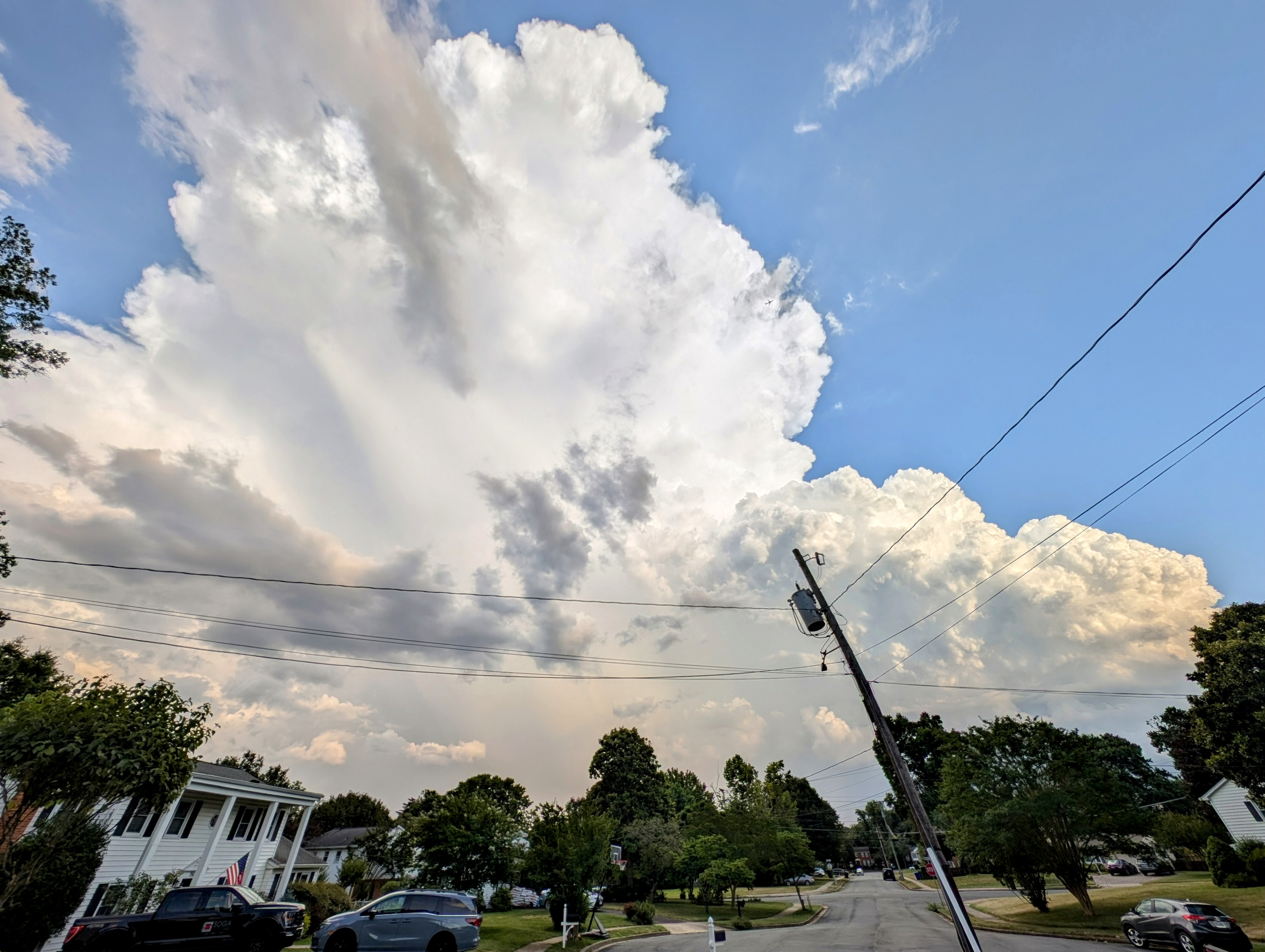
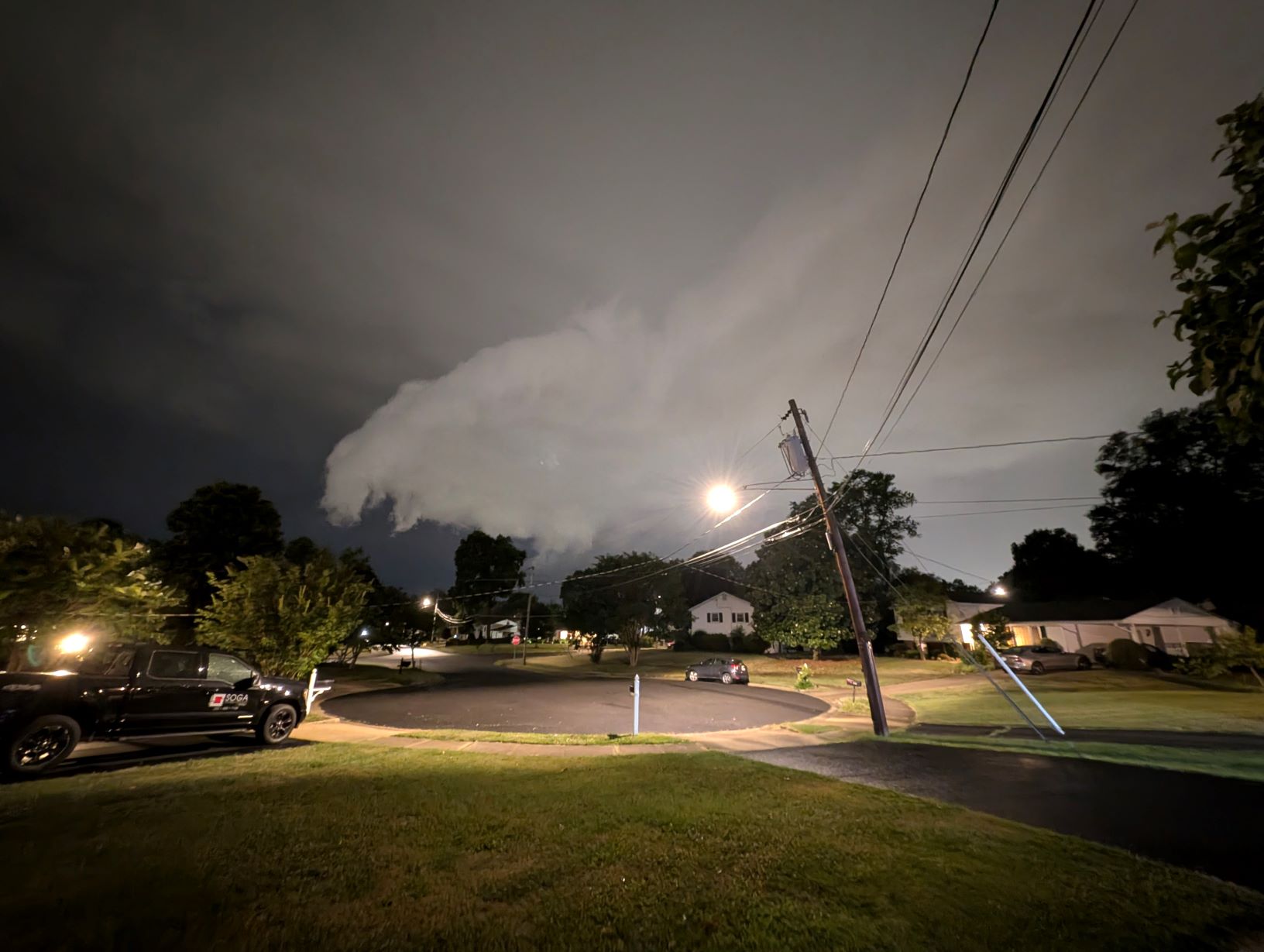
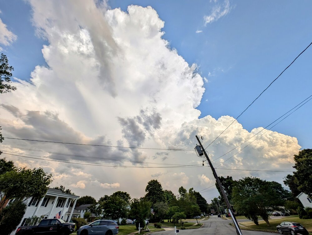
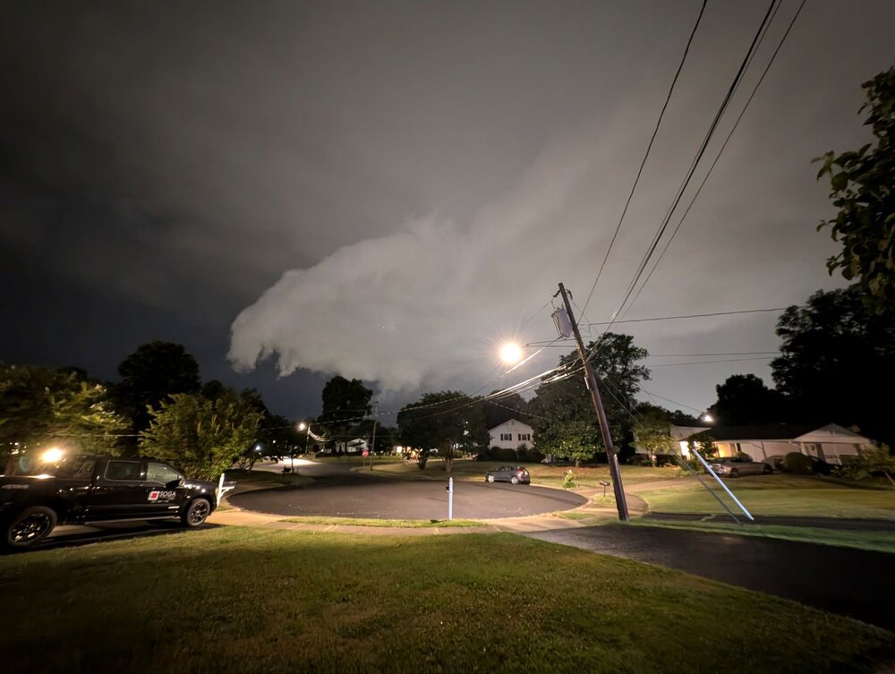
I'm deciding right now between two new wx stations so no access to anemometer, but anecdotally -- the intensity and especially the sound of Wednesday evening's gust front reminded me just a bit of the onset of the June 2012 derecho. Didn't get a decent video because it was moving fast, but did get a few pics of the gust front (below). To @WeatherShak's point, I also observed a couple tall oaks listing to port pretty good during these initial winds.
-
Now that truly DOES suck -- what's the situation this morning? It's definitely feeling muggy here this morning. Hope this was, or is, fixed quickly!
-
Winner, winner, chicken dinner.... Severe Thunderstorm Warning MDC017-033-262145- /O.NEW.KLWX.SV.W.0085.240626T2113Z-240626T2145Z/ BULLETIN - IMMEDIATE BROADCAST REQUESTED Severe Thunderstorm Warning National Weather Service Baltimore MD/Washington DC 513 PM EDT Wed Jun 26 2024 The National Weather Service in Sterling Virginia has issued a * Severe Thunderstorm Warning for... Southern Prince Georges County in central Maryland... Northeastern Charles County in southern Maryland... * Until 545 PM EDT. * At 513 PM EDT, a severe thunderstorm was located near La Plata, moving northeast at 45 mph. HAZARD...60 mph wind gusts. SOURCE...Radar indicated. IMPACT...Damaging winds will cause some trees and large branches to fall. This could injure those outdoors, as well as damage homes and vehicles. Roadways may become blocked by downed trees. Localized power outages are possible. Unsecured light objects may become projectiles. * Locations impacted include... Waldorf, Clinton, Fort Washington, La Plata, Andrews Air Force Base, Rosaryville, Marlton, Saint Charles, Accokeek, Bryans Road, Brandywine, Hughesville, Baden, Potomac Heights, Aquasco, Bryantown, Pomfret, Port Tobacco Village, Port Tobacco, and White Plains. PRECAUTIONARY/PREPAREDNESS ACTIONS... For your protection move to an interior room on the lowest floor of a building. To report severe weather, contact your nearest law enforcement agency. They will send your report to the National Weather Service office in Sterling Virginia. && LAT...LON 3858 7669 3848 7701 3852 7710 3859 7713 3880 7685 3860 7668 TIME...MOT...LOC 2113Z 241DEG 39KT 3858 7701 HAIL THREAT...RADAR INDICATED MAX HAIL SIZE...<.75 IN WIND THREAT...RADAR INDICATED MAX WIND GUST...60 MPH $$ KR
- 1,696 replies
-
- 2
-
-

-
- severe
- thunderstorms
- (and 5 more)