eaglesin2011
-
Posts
989 -
Joined
-
Last visited
Content Type
Profiles
Blogs
Forums
American Weather
Media Demo
Store
Gallery
Everything posted by eaglesin2011
-
https://6abc.com/philadelphia-schools-philly-snow-virtual-learning-online-class/11432839/ Sorry if already posted.. pretty rough Lol
-
Sux 3/4 of the storm is going to be rain/mix in this area... Already in the 50s here.. Gonna be painful with the radar Hallucinations and watch the storm head north right when we drop enough in temp. Really gonna need to get lucky and hit a heavy band to get anything of significance with this one, especially with the marginal temps while the main precip is in the area. Maybe one day we will get an all snow big event! Just allot has to come together at once to make that happen. Guess 2 events in one week is kinda cool...especially how warm it has gotten right before each storm. Anything more then a dusting is a bonus with this one, in this area IMO.
-
Friday s storm is still up in the air .. If it comes in later that will definitely help.. Maybe still a dusting to 2 or 3 tops most likely. Looks like around the the MLK weekend could be a big one "Maybe"
-
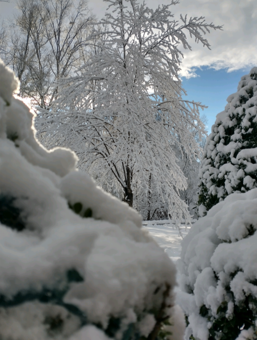
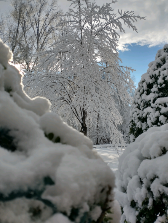
Never officially measured here but I'd say a good 4 or 5 inches out there.. It's over now and here is the blue sky's coming
-
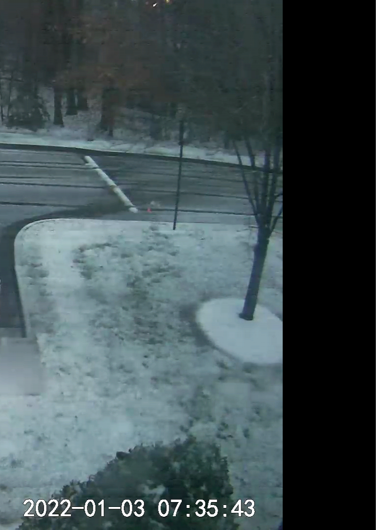
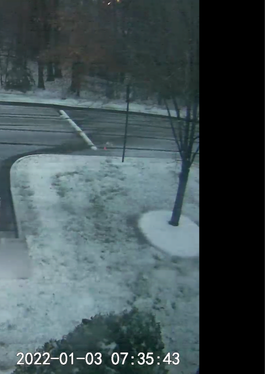
https://ramcam.vcu.edu/ Here is the Vcu cams .. unfortunately the best cam is down
-
Richmond is not getting 6 Will be lucky to get 3 imo Fine snow with sleet here in Glen Allen
-
Still mixing back and forth here in Glen Allen... More snow mixed in now. I honestly don't think we will fully get rid of the sleet/mix for this whole storm looking at the reports north and west.. Prob will continue to mix in at times Nice snow burst as I type
-
Goochland area seems to be the line right now
-
First picture .. back to mainly sleet/rain here
-
Nah not yet... Still flipping back and forth here in Glen Allen...
-
I dunno about 6 plus in RVA... It's more likely between Ashland to Fredericksburg. Back to mainly sleet being my area... Exactly why I don't think it will be 6plus here or RVA... (Switching back and forth from sleet & snow) But if we get a big band /maybe even thunder snow... It can add a few inches quick, if temps drop & stay below freezing without any sleet..
-
Starting to change over to a sleet very wet snow in SHORT PUMP /Glen Allen VA
-
Starting to get more frozen ice pellets now here in Glen Allen/Staples Definitely breezy, prob will help a bit from any major power outages but probably will still have a few.. Gonna be pretty wild for a few hours Update: At 6:35am mainly a Heavy wet snow .. Grass and deck now have a wet dusting
-
I'd say the 7 to 8am time frame is still most likely for go time around here... Good thing, when it changes over it will be come down heavy . Hopefully All snow by then & not sleet/mix Probably will be done by 2pm Big freeze tonight (whatever isnt plowed & treated) I would think most major roads will be fine by tomorrow morning with patchy ice .
-
Hopefully it is wrong, but in this area things have to be almost perfect to get a big snow... I can see sleet being an issue if it really amps up.... Maybe we will get lucky and get the 35mph winds with thunder snow for an extended period of time and have it add up quick ..lol .. who knows .. Allot still up in the air with this one
-
No surprise there ..
-
Still High 50s here in Glen Allen at 10pm Hopefully can drop into the 40s by Midnight .. Definitely gonna be a big cutoff within a few miles
-
-
Still in the 60s at 430pm . Now that the sun is about to set hopefully we see a good steady drop.. unfortunately it dosnt look like it will really drop until the 2nd batch of precip comes through early in the morning
-
-
Exactly.. an amped up storm with these marginal temps normally means...it will pull in more warm air and keep the precip mostly rain & sleet . Would be nice to see a big event but a 1-3 event still seems most likely to me. Hopefully we get at least that. Anything more is a bonus imo
-
Hard to say .. the precip down south looks like it's going to go off the the south east a bit and the stuff coming from TX dosnt lon as put together as earlier. I'd be more worried about a refreeze on mostly back roads/neighborhoods tonight Anybody look at the short term models? I
-
Yeah, it really looks like we will avoid the worst .(not going to complain since its freezing rain) . Really broken up on radar now with pockets of heavy stuff off and on. Looks like the thunderstorms down in NC really robbed allot of the moisture Will be interesting if that 2nd batch makes it up here or not ...
-
Stil will be a 2nd batch later tonight into the morning..its probably a good thing we will get the break to avoid major issues...
-
Turned over to a very light snow actually for a few mins here in Glen allen.. VERY VERY light now back to a mod sleet/frz rain mix...