

batmanbrad
-
Posts
289 -
Joined
-
Last visited
Content Type
Profiles
Blogs
Forums
American Weather
Media Demo
Store
Gallery
Everything posted by batmanbrad
-
December 16-17, 2020 Winter Storm Obs/Nowcasting
batmanbrad replied to WxUSAF's topic in Mid Atlantic
CC line seems to be right along I-66 currently - slowly but steadily moving north. -
December 16-17, 2020 Winter Storm Obs/Nowcasting
batmanbrad replied to WxUSAF's topic in Mid Atlantic
Pretty heavy snow here in Gaithersburg (close to Laytonsville), those who said we might be able to benefit from the front end thump were right - hope the HRRR is correct and we can get a couple more hours of this beautiful stuff before the changeover later this afternoon, and maybe we can get a dessert later tonight from the back end. -
December 16-17, 2020 Winter Storm Obs/Nowcasting
batmanbrad replied to WxUSAF's topic in Mid Atlantic
latest GFS says congrats State College/Williamsport with their 2+ feet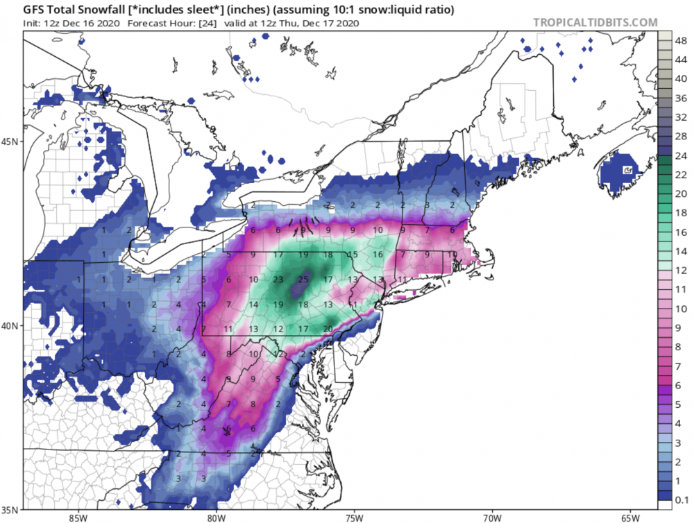
-
thanks - I deleted my post after I saw I was beaten to it (ninja'd?) by jaydreb, LOL... also saw that 20 of that 29" spot occurs in 6 hours between 66 and 72, LOL
-
yes, this is that same Jeff: https://ges.umbc.edu/halverson/
-
looks like at 72 the SLP has jumped east some, that should help the I95 folks this run
-
Don't know if this was mentioned earlier (I couldn't find a reference), but earlier this evening, Capital Weather Gang did a Facebook Live presentation featuring Jason Samenow, Jeff Halverson, and AmWx's own Wes Junker (usedtobe)... check it out! I wasn't sure if I could/should post a link to it, but if you do a search on FB for CWG, you should be able to find and view it.
-
award for 2nd place goes to P22, with honorable mentions to P17 and P03, and (almost) P26.
-
HP in Canada 2mb stronger at 96 and slightly SW of previous run, while SLP is closer to the DE coast but still offshore enough, to my novice eyes. All seem to be good signs.
-
true... question is whether being bullish is/will be good for the other "R" (Reputation)
-
evidently TWC hasn't factored in the 12Z model runs yet... let's see how long before they do.
-
12Z GEM pulls the low into southern DE @ 84, clear west shift which isn't good for I95 corridor
-
Canadian up next, would love to see it improve at least as much as the 12Z GFS!
-
that HP shifted east some at 90 on the 18Z GFS, probably not the trend we want to see?
-
or do we get to CRAS (doesn't a reference to that model belong somewhere on the bingo board?) in now?
-
Still could upgrade it during the next hour or so, even though it wasn't at 5PM. Has to be right on the cusp now, another MB or two would do it pressure-wise, or anything else to support increase.
-
100mph as of the new 2PM intermediate advisory!
-
2020 Mid-Atlantic Severe Weather - General Thread
batmanbrad replied to Kmlwx's topic in Mid Atlantic
looks like a new cell popping near Leesburg, moving ENE -
2020 Mid-Atlantic Severe Weather - General Thread
batmanbrad replied to Kmlwx's topic in Mid Atlantic
Moco just got warned, also with "possible tornado" language, line from the west looks to be holding together for now. -
2020 Mid-Atlantic Severe Weather - General Thread
batmanbrad replied to Kmlwx's topic in Mid Atlantic
"Tornado Possible" wording is in the STW message for the Frederick area storm... -
Will we get to see that time-lapse footage you mentioned you'd set up for this storm? That'll be cool to watch with such a long duration but placid (wind-wise) storm...
-
good discussion of how this storm formed/evolved by CWG: https://www.washingtonpost.com/weather/2019/01/14/first-snowstorm-packs-wallop-how-much-snow-fell-how-it-happened/?utm_term=.54287740f8da
-
unfortunately no board to take good measurements with, but I did find somewhere between 5-6" for the first wave and 7+ inches just now with snow nearly stopped here in Gaithersburg (NE side, near Laytonsville). So, around a foot, probably with some compaction especially with wave 1. Sure was easy to shovel the 2nd wave, SO light and fluffy! Now will wait for my cul-de-sac to be plowed out...
-
I thought differently than Bob... I saw some nice big flakes this morning... but they were in a bowl, had corn in them and made by Kelloggs! #belongsinbanter
-
Indeed! After all, they had their big snow back there in December... time for the northern/central areas of the forum to cash in big this time!


