snowfan
-
Posts
10,179 -
Joined
-
Last visited
Content Type
Profiles
Blogs
Forums
American Weather
Media Demo
Store
Gallery
Everything posted by snowfan
-
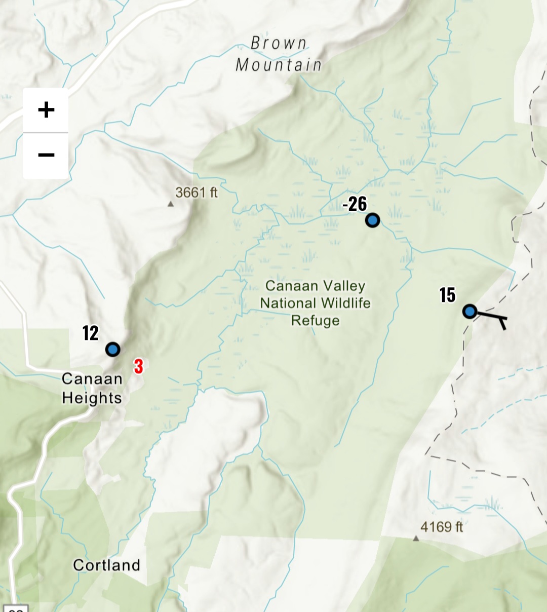
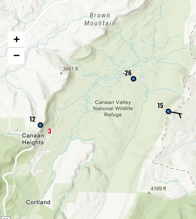
Canaan doing canaan things
-
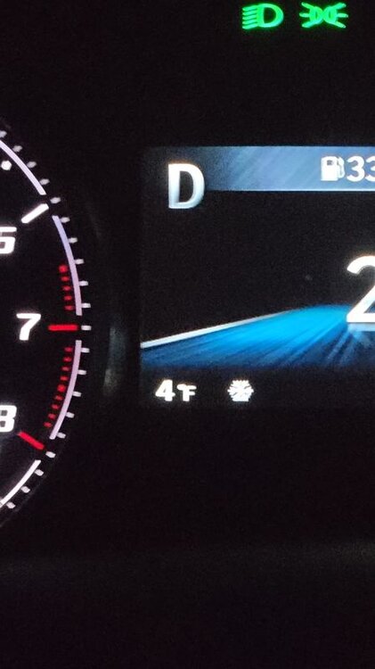
Impressive what you can do when the wind lays down.
-
 As we get started on Monday, the Euro, Canadian, and GFS all have a storm in the same general window next weekend. As of now, it looks like the further N and W you are from the metros, the better you. This is also in line with WPCs current thinking.
 -
Defensive clinic.
-
Not necessary man. Many of us have been here on this board and eastern going back 15+ years now. Let's just move on....
-
Dude...im one of those that has given you shit for the dick jokes....and one of the reasons has been because there are kids on this board. I mean, im no saint, but you're crazy.
-
It'll likely be the 4th qtr by the time the pats get the ball back. They have 73 yds on offense.
-
Damn...cobalt brought receipts. Everyone is on notice now lol.
-
Can’t convince me grey beard is some former poster that was run off and is back under a new username.
-
True by 65 with a 20-30 mph on March 15th is kind of annoying.
-
4-8" depth mostly area wide for 2 straight weeks is fairly rare around here. That alone probably puts this one in B range.
-
Bipolar ass model. I love you, GFS.
-
- 46 replies
-
- 11
-

-
TOD for Rev in the 2025/2026 winter 7am on Sunday, Feb 8th
-
Pattern is active and there is cold nearby. I’ll take it at this range.
-
Snippet from the LWX disco…. A stronger storm system may impact the area late next week (in particularly during the Thursday through Saturday timeframe). The cold front from Wednesday will stall down around the Gulf Coast states with several waves of low pressure set to caravan along it late next week into next weekend. The track and intensity of these low pressure systems remain uncertain as deterministic and ensemble guidance continue the "windshield wiper effect" of advertising a winter/rain storm or no storm across the region. Latest guidance suggest a system that passes just to the south and toward the coast with uncertainty in regards to temperatures, precipitation types, and amounts this far out. Continue to closely monitor the forecast as it will continue to change heading toward the Valentine`s Day holiday.
-
Sun angle season is here. Wind dies off and it’s not bad at all out there.
-
Agreed. Its really NBD.
-
Guidance is showing possibility some areas get into the mid 50s and that may be conservative.
-
Some areas S and W of DC might torch on Tue or Wed.
-
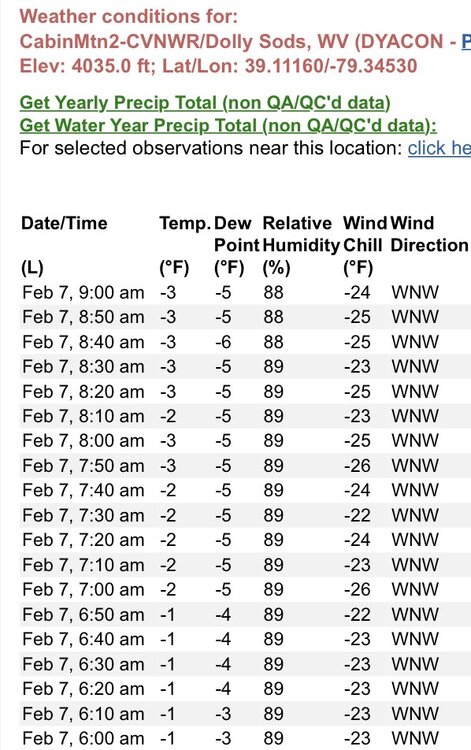
Nice day in the WV high country
-
I have not seen anything but it snowed and accumulated twice at my place south of them.
-
Two separate snows for 2/6 and 2/7. The first was a car topper and estimated the second at .25” before the wind swept it away. Season total puts me at approximately 69% of climo using BWIs climo which is 10mi to my north. 12/5/25: 1.5” 12/14/25: 2.25” 1/17/26: T 1/18/26: .25” 1/24 - 1/25: 9” of snow and sleet 2/5 - 2/6: .25” Season Total: 13.25”