Stormpc
Members-
Posts
3,344 -
Joined
-
Last visited
Content Type
Profiles
Blogs
Forums
American Weather
Media Demo
Store
Gallery
Everything posted by Stormpc
-
You forced me to look. Looks like the goal posts are narrowing with the edges trimmed on the Southern and Northern sides. Someone's going to get 10 inches of cement.
-
A little colder with the heavy snow band shifting a little south on the GFS but a lot more sleet on the southern end of that. It's going to be a battle.
-
Today??
-
There's no way any model is going to get the extent of the initial warm nose correct. Total boom or bust for Richmond. I would hedge low on the 1-2 range south of 295 in Ric. Marginal events with no antecedent cold isn't the formula. This is a Fredericksburg to DC event. Maybe it comes in hot with a major thump. Never know.
-
Looks like it moved the axis of the heaviest snow about 25 mi North. Less down in the Tidewater area as well but that's expected. I don't think there's going to be any accumulation south of Williamsburg. Looking great for areas from Ashland to Alexandria RIC... who knows. That's too fine a line. That could be a major bust in either direction.
-
Keep trucking south. Another 50 miles! You'll still be on the northern side of the best banding and forcing so you'll be good. I need to wet my beak a little bit.
-
Enjoy it and go to bed because that's a Newport News dream run. Turn off your phone and computer and check back tomorrow. You can't get better than that.
-
Yeah it looks like it just keeps riding along that boundary as it sinks. That's an interesting looking run.
-
GFS even weaker/MORE south again. Like a southern slider.
-
Again this thing is flatter and flatter with each run on the GFS and now the euro. Can't ignore that anymore. Would certainly hedge toward the euro but even so that's on the move as well.
-
If you're in New York City you don't like the trends as this one looks like it's slipping away to the south. Keep that train rolling South. Next in line is Philadelphia then Baltimore. Then we can bask in the glory. Screw them.
-
I'm not sure. I don't think so. Looks a little flatter implying snow to mix then back to snow for Richmond and North. I think we all buy this solution. Not much change from the past two or three runs except for the northern Edge keeps getting squeezed
-
Yep. 110 miles SOUTH is huge. Grab all the scraps you can get. Something to watch tho.
-
Yes I think early March there's a chance but with only a week left after the predicted-NAO, February is probably toast. There's a chance one of these systems goes far enough South to give areas a front end thump, but when's the last time we really had one of those? Not trying to be a downer but I don't think it's looking that great the next 3 weeks at all
-
Im not optimistic for much frozen anywhere south of a Fredericksburg/Charlottesville/Lexington line...for the remainder of the month...IMO. Hopefully wrong.
-
Things finally getting into range where we can all start to pay attention again. Going to be an interesting two week period starting Sunday. Would love to see a lot more suppression to lock in that cold air. Looks like the 48 hour storm is dependent upon cold air arrival to catch the precip and a secondary wave. That doesn't usually work out.
-
Gotta break thru and win this one. The opportunity to get back to the championship game may not come again for a very long time. Not saying 33 years but there's no guarantee it'll happen again anytime soon. Have to win this one. These opportunities are rare. They have a punchers chance.
-
Might be some sneaky freezing drizzle or snow flurries tonight along the immediate Coast. Nam 3k hinting ( still has it for last few days). Others have backed off. Just something to keep an eye on
-
Per wakefield. 5.0-7.5 inches fell across CURRITUCK County/mainland. I heard there was about five in Corolla but I don't know if there's any way to measure accurately given the winds. Look at radar. It hung around across the southern Outer Banks which was a little unexpected. Great storm for the beaches. Just too damn windy. Ruined a little bit of the cozy snow covered landscape.
-
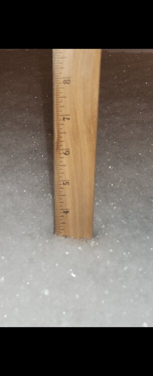
By all accounts it looks like a general five to eight inches fell across Currituck county. Around 5 to 5.5 up in Moyock by the Va border. Then its 6-8 inches depending upon where and who took the measurement. It's really impossible unless you had a snowboard and we're going out all the time. I have bare ground in many areas and 18 inches in others. By all accounts the storm may have slightly over performed or hit the higher end of the predicted range down here. Euro led the way with its consistency. GFS late to the game. Nam's caught up. All of the mesos were generally good inside 24 hours. RGEM was pitiful My location is right on Currituck sound so there's no buffer for the wind. I'm sure places just a mile or two inland had some lighter winds.
-
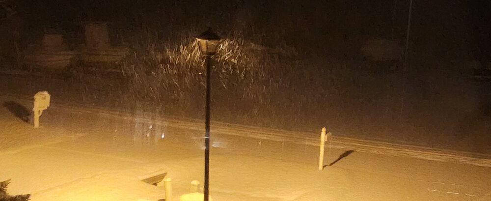
I have no idea what I ended up with. Went to bed with around 5 or 6 inches now most of it's gone. It blew away. There's so much drifting and bare ground it's hard to figure but I would suspect we got somewhere around six or seven inches. Just to my south in Grandy had a measurement of 7.5. It's snowed until around 5:00am. Great event here. Just kind of wish the winds wouldn't have kicked it all around but that's what you get when you have this light fluffy powder.
-
Not bad at all. We take whatever we can get and enjoy it. That's the fun part. The beaches along the Outer Banks are going to have a fun few hours between now and 3:00 a.m.
-
Nice enhanced band dropping South through the peninsula now. Might be the last hurrah up there but it's going to finish with a bang. Hoping the coastal moisture gets entrained to slow that crashing precip field a bit. Probably won't happen but we might see a few enhanced bands before it kicks off shore in a few hours.
-
-


