CoastalWx
-
Posts
176,971 -
Joined
-
Last visited
Content Type
Profiles
Blogs
Forums
American Weather
Media Demo
Store
Gallery
Everything posted by CoastalWx
-
92 here for high.
-
Stein hiding behind the bushes but will be back this week as plants droop in heat.
-
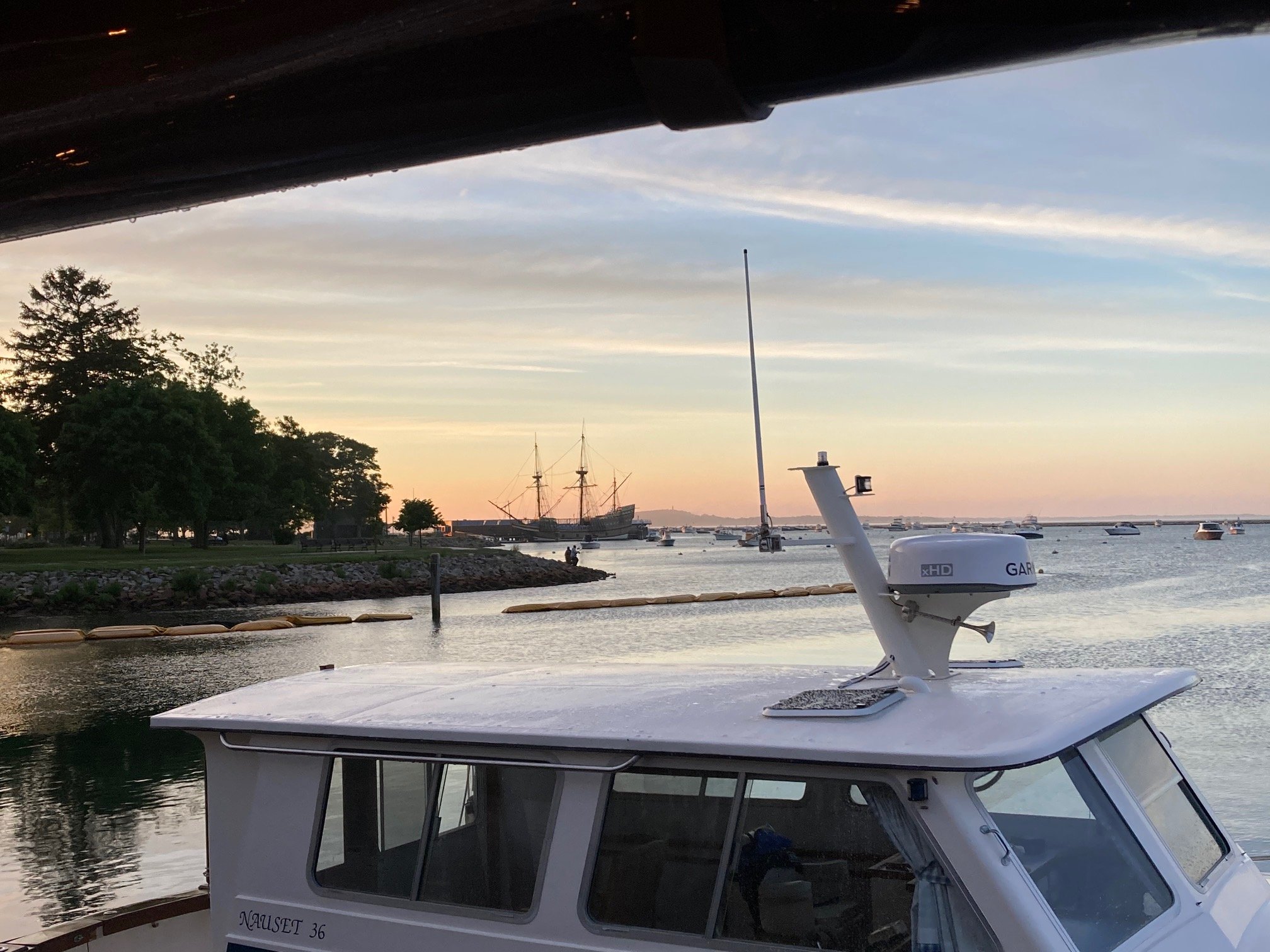
Beautiful evening in Plymouth.

-
We stein at home.
-
That cell has a TBSS. That has to have SVR hail.
-
Skipped. South Wey ftw.
-
Actually just a quick downpour now haha
-
Stein is back again.
-
More cirrus and clouds again. May cap temps and storms.
-
Hell tomorrow will be quite warm too.
-
Sunday through Wednesday heat. Looks nice after.
-
LOL true from a crazy ppl standpoint.
-
When your high is 60s? May?
-
It was warmer north of the MA border but pike south was not a summer day.
-
Tell them to check out Ft Desoto park. Epic beach down at the end of the peninsula.
-
Mostly cloudy until now. Not really a summer feel but dews are up now.
-
90s, dews, and storms. That's nice.
-
It's just so laid back. Yeah maybe Tampa and Fort Myers aren't the nicest, but everywhere in between is great. I have a sunset on the beach fetish, so it does not disappoint there.
-
SW FL is a jewel. Love it there.
-
BD on euro Wed now.
-
Irma was a 4 when it hit the keys, granted maybe the impacts weren't as devastating as an intensifying 4 on it's way to maturing.
-
I agrees.
-
Yeah, it's called SNE.
-
Yeah possible, but could be a very weak one that limits cooling to the beaches too.
-
Warm to hot starting Saturday into next Thursday or Friday. Don’t have the uber 20C stuff at 850, but enough to make mid 90s on a day or two. Looks like a good cool down next weekend potentially.