RitualOfTheTrout
-
Posts
3,693 -
Joined
-
Last visited
Content Type
Profiles
Blogs
Forums
American Weather
Media Demo
Store
Gallery
Everything posted by RitualOfTheTrout
-

Pittsburgh/Western PA WINTER ‘25/‘26
RitualOfTheTrout replied to Burghblizz's topic in Upstate New York/Pennsylvania
Right now I think we are right where we want to be. Some models North, some to the South. Don't really want any more South on that GFS op run though. -
Outta gas and Outta Time: Early March Winter Storm finale
RitualOfTheTrout replied to Ji's topic in Mid Atlantic
Are you sure about that?
- 959 replies
-
- 11
-

-

-
Pittsburgh/Western PA WINTER ‘25/‘26
RitualOfTheTrout replied to Burghblizz's topic in Upstate New York/Pennsylvania
The Monday and Tuesday system continues to be a situation to watch as the current trends with this system points to an impactful late winter wet snow impact or potentially heavy rainfall. A further south track will mean all snow expected and a northerly track will make for more of a rainfall threat. Some solutions within the ensembles suggest a northern track where its too far north and precip is much less. Certainly a system that needs some monitoring. -
Pittsburgh/Western PA WINTER ‘25/‘26
RitualOfTheTrout replied to Burghblizz's topic in Upstate New York/Pennsylvania
That would suck for sure, but we have seen that outcome many times before. Verbatim it would "try" to be freezing rain, and it might have some impact given it's falling at night around 28-30 degrees at the surface. Once you get to mid-morning though given it will be early March you are looking at mainly rain. The good thing is things have trended South most of the time this season. Several GEFS members are South and all snow. This several days out, so it may just disappear for all we know. -
Pittsburgh/Western PA WINTER ‘25/‘26
RitualOfTheTrout replied to Burghblizz's topic in Upstate New York/Pennsylvania
I do think we probably have another 10 days here give or take before it really warms up. Euro still wants one more big cold shot before we warm up too. Should be plenty of time to hit average or above average snow for the season. After mid-March who knows, it may get cold again relatively speaking, but obviously increasingly harder to snow even if it does. -
Pittsburgh/Western PA WINTER ‘25/‘26
RitualOfTheTrout replied to Burghblizz's topic in Upstate New York/Pennsylvania
Ah ok, yeah, I think I have browsed there before, it's been a few years. -
Pittsburgh/Western PA WINTER ‘25/‘26
RitualOfTheTrout replied to Burghblizz's topic in Upstate New York/Pennsylvania
At the risk of spending even more time on message boards talking about weather, Ill ask, what is this other site? -
Pittsburgh/Western PA WINTER ‘25/‘26
RitualOfTheTrout replied to Burghblizz's topic in Upstate New York/Pennsylvania
Yeah, we usually score on the front end of the miller b before it jumps. I'll always roll the dice with a big miller a that runs inland just east of the mountains even though as you said waa is fairly easy and safe for a widespread hit. -
Pittsburgh/Western PA WINTER ‘25/‘26
RitualOfTheTrout replied to Burghblizz's topic in Upstate New York/Pennsylvania
Getting some decent snow bands here on and off. Picked up a quick quarter inch. -
Pittsburgh/Western PA WINTER ‘25/‘26
RitualOfTheTrout replied to Burghblizz's topic in Upstate New York/Pennsylvania
Wish it was here! lol -
Pittsburgh/Western PA WINTER ‘25/‘26
RitualOfTheTrout replied to Burghblizz's topic in Upstate New York/Pennsylvania
Speaking to the opposite of Jeff-V, I do recall years ago Scott mentioned prior to a big storm he is a bit of a "snow weenie" Did not use that terminology, but reading between the lines I picked that up. I don't mean to say he has ever been unprofessional in his forecasting etc. but more so deep down I think he probably roots for the big ones like us. -
Pittsburgh/Western PA WINTER ‘25/‘26
RitualOfTheTrout replied to Burghblizz's topic in Upstate New York/Pennsylvania
That's what I was saying yesterday, no doubt some areas are getting a historic blizzard reading some of the obs threads, but it was really close to something bigger for a larger area or real estate. Looks like it did take a little longer to capture and get going and thus DE probably didn't do as well, also tracked a bit further SE, and with the cutoff being so sharp that really impacted places on the edge. I can't imagine historic blizzard warnings and being essentially 2 counties over and getting only like 2-3 inches. I'd probably make some posts in here that I'd later regret lol -
Pittsburgh/Western PA WINTER ‘25/‘26
RitualOfTheTrout replied to Burghblizz's topic in Upstate New York/Pennsylvania
Just quoted RD9108's post about WPIX snow map. It shows for me in the post, but if I click it I see the broken image icon too. Not sure what is up. -
Pittsburgh/Western PA WINTER ‘25/‘26
RitualOfTheTrout replied to Burghblizz's topic in Upstate New York/Pennsylvania
Looks like direct output from the 00z GFS to be honest. That's from two separate waves, must be a slow news day. -
Pittsburgh/Western PA WINTER ‘25/‘26
RitualOfTheTrout replied to Burghblizz's topic in Upstate New York/Pennsylvania
A little unusual looking at radar, returns are moving almost due North to South. -
Pittsburgh/Western PA WINTER ‘25/‘26
RitualOfTheTrout replied to Burghblizz's topic in Upstate New York/Pennsylvania
I mean if Hughes misses that puck in our zone and you have those 2 guys going in the other way that might have ended it in favor of Canada. That's usually how it goes though, its a razors edge one way or another. Amazing play all around. Just goes to show, if you have hot goaltending and keep it a one shot game anything is possible. I did feel a little bad for Sid, had to be killing him to not be out there competing. Hope its a short recovery and he's back to 100 percent for the Pens. -
Pittsburgh/Western PA WINTER ‘25/‘26
RitualOfTheTrout replied to Burghblizz's topic in Upstate New York/Pennsylvania
Hell of a Hockey game! Team USA! Gotta love hockey players, Jack Hughes picks his teeth up off the ice, is right back out there and scores the OT winner. -
Pittsburgh/Western PA WINTER ‘25/‘26
RitualOfTheTrout replied to Burghblizz's topic in Upstate New York/Pennsylvania
This storm just feels like a little bit of wasted potential, I'm not even talking for us, and I know it still hasn't happened yet but the garbage antecedent air mass and it coming together just a little bit to late are really going to limit areas that see something historic. Don't get me wrong, the areas under the blizzard warning are going to get rocked and Id love to be there and see it, but had this dug a litt further SW it really could have been much more for a much bigger area. -
Pittsburgh/Western PA WINTER ‘25/‘26
RitualOfTheTrout replied to Burghblizz's topic in Upstate New York/Pennsylvania
Picked up almost 2 inches on the deck. Less on the grass, and nothing on sidewalk / roads. It stuck to all the trees, pretty scene out there til we warm up later. -
Pittsburgh/Western PA WINTER ‘25/‘26
RitualOfTheTrout replied to Burghblizz's topic in Upstate New York/Pennsylvania
Just started snowing about 10 minutes ago. Nothing crazy rate wise, but radar looks good. -
Pittsburgh/Western PA WINTER ‘25/‘26
RitualOfTheTrout replied to Burghblizz's topic in Upstate New York/Pennsylvania
I was 12 for 93, I remember it well, but I didn't take it all in as much as I should have while it was happening. I just didn't grasp how rare of a storm it was. -
Pittsburgh/Western PA WINTER ‘25/‘26
RitualOfTheTrout replied to Burghblizz's topic in Upstate New York/Pennsylvania
Time for a visit? If so swing by and pick me up lol. Somewhere out that way is going to have hours of what we got a taste of for like 10 minutes during that last squall. Its tantalizingly close here for something a little bit more significant if we could somehow steal that western band of frontogenesis... Just real it west a little more. -
Pittsburgh/Western PA WINTER ‘25/‘26
RitualOfTheTrout replied to Burghblizz's topic in Upstate New York/Pennsylvania
Same, and Im a deep sleeper! Pouring again now, all the runoff on the street is so grimey, finally all that salt is getting washed out. -
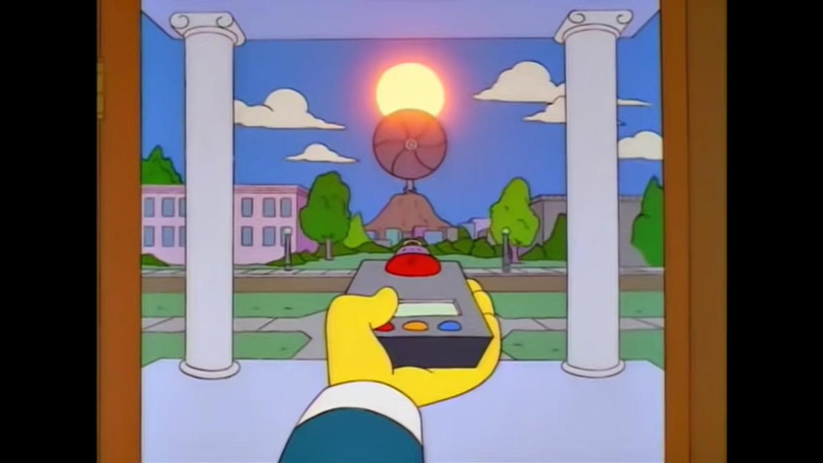
Feb 22nd/23rd "There's no way..." Storm Thread
RitualOfTheTrout replied to Maestrobjwa's topic in Mid Atlantic
NCEP just released a statement: The GFS is penning a ballad for y'all when it pulls the rug on what it showed at 12z: -
Pittsburgh/Western PA WINTER ‘25/‘26
RitualOfTheTrout replied to Burghblizz's topic in Upstate New York/Pennsylvania
Looks like an inverted trough type setup. Those are notoriously hard to pin point outside of very short term. I wouldn't bank on that happening, probably why NWS isn't to excited.