

Voyager
-
Posts
11,052 -
Joined
Content Type
Profiles
Blogs
Forums
American Weather
Media Demo
Store
Gallery
Posts posted by Voyager
-
-
5 minutes ago, 2001kx said:
JACKPOT!!!
Look at that nudge north with the gradient over Schuylkill County. WTF is up with that???

-
I listed to the NOAA weather radio in the truck coming up 83 tonight. The extended forecast was quite wintry for the LSV. Snow and mixed precip with temps only as high as the low 30's during the storm.
In their hazardous outlook, they said watches would likely be hoisted within the next 48 hours.
-
35 minutes ago, kdskidoo said:
I guess my bar is set higher than most in here when it comes to ranking snowstorms. I would classify them as follows:
less than 3" minor/nuisance
3-6"" moderate
6 -12" significant
12-20" major
20-30" crippling
30-40" historic
anything above 40" biblical
This is EXACTLY how I would grade storms. I've never seen a 30+ inch storm (in my backyard anyway) so that would be historic. The over 40 biblical designation is spot on, too, as even in the biggest of storms, our region just doesn't (save one or two locations) ever really hit that number.
As for me, 26 inches is the most I've seen from one storm.
-
 1
1
-
-
14 minutes ago, CarlislePaWx said:
I'm pretty sure he meant that tongue-and-cheek to tease Voyager.
I literally laughed out loud in the truck. Thanks guys!
-
8 minutes ago, CarlislePaWx said:
I know bubbler just posted the map with the polar vortex paying us a visit...but really, you guys should go do a loop of either the gfs or gfsv3 18Z runs for 2M temps. They are insanely cold...particularly days 10 through 15. Daytime highs at MDT below +10 and nights below zero...well below until it reaches 13 below at the end of the run. This type of cold will exceed Jan 2015 cold IMO. Of course, throw in a few snowstorms to deepen the snowpack and you've got the recipe for 1994.
Must. Get. To. Phoenix.
lol... I doubt I can, but I sure do wish I could escape this.
-
Nothing here yet. Not that I was expecting, nor hoping for any.
-
Sunny and 34 here. Hope it stays this way here, and all of you down there cash in nicely! I can't think of a better storm scenario for me...
-
14 hours ago, RedSky said:
18z GFS gives us 24 hours of snow, it looked good until the qpf was 1-2" snow. Can it snow that lightly I doubt it?
Yes it can. We've had 24 hours of "pixie dust" up here in Tamaqua that, when all was said and done, was about 1-2 inches. The snow that day was equivelent to a light drizzle, both in intensity and visual impairment.
-
28 minutes ago, daxx said:
Does that mean when you leave it will get warm again? If so please stay!!
lol...
The cold seems to follow me around the country, so who knows. Last spring it was the same way. every time I went west a cold storm would come in off the Pacific within a day of my arrival.
-
18 minutes ago, MAG5035 said:
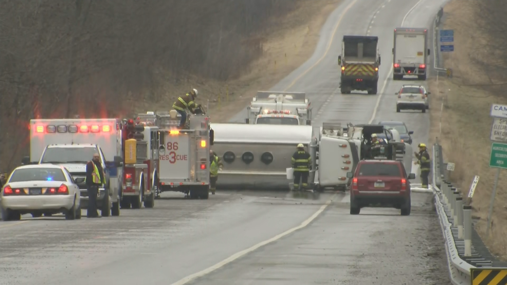
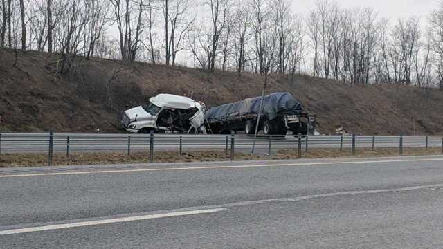
It sure did back this way. A light glaze of freezing rain and sleet is likely the culprit for multiple crashes/road closures this morning up in Cambria County. One on US 219 (between Johnstown and Ebensburg) and the other on US 22 (Between Altoona and Ebensburg)
Yikes. That's why winter and me don't get along so well ..
-
1 hour ago, daxx said:
One thing is for sure the Euro is definitely not warm over the next ten days, except for tomorrow. We are definitely in a different pattern than we were.
You all can thank me for bringing it back east from the southwest. I hit snow in El Paso, had frost and mid 20s temps in the Fresno area, single digits temps from Flagstaff AZ to Gallup NM, and finally more snow in Oklahoma City. Now that I'm home, it's gonna get cold here now...lol
-
5 minutes ago, bubbler86 said:
Get Ready Harrisburg...here comes an outburst of graupel and crud.
I was just going to ask if that line was putting anything down.
-
3 hours ago, pasnownut said:
Euro monthlies show a rockin Feb/Mar, but then real spring for April as it turns to warm. We get ours when we should, then you get yours....everyone's a winner.
I guess. I think I'd rather have a rockin Jan/Feb with a transitional March, though. Then on to full spring weather. Once we flip back to Daylight Savings I start to get spring fever.
-
1 hour ago, pasnownut said:
Dude I’m telling ya....it’s like they gave us the keys to the weather lockbox. If that verifies anything close to what PSU posted we will be ready for the April flip that was also posted. Voyager will like that one for sure.
After reading the past few pages of this thread, I think a 2 month visit with my mom in Phoenix is in order.
What April flip, though? I missed where that was posted.
-
Great, another backloaded winter...
-
29 minutes ago, pasnownut said:
and here's hoping the inner snow weenie still has a coming out party this winter......lol

Very few places where I can enjoy trucking if that map verifies...
-
25 minutes ago, MAG5035 said:
Lol, gotta love radiational cooling at around 7k feet. It's showing up nicely on the IR. Since it's clear, the cold mountains are showing up nicely and Flagstaff area is matching nicely with ground obs (IR showing -15 to -20ºC range). Might have to watch for unsettled weather and relatively low snow levels if your still in the Four Corners region over the weekend.

Snow levels have been crazy low since this past weekend. I hit snow in El Paso on Saturday morning, and yesterday Tucson had a half inch at the airport. I'm actually heading back east in the big truck. I'll be hot on the heels of the Oklahoma storm Friday morning.
-
Your cold air is out in Flagstaff, AZ where I'm spending the night tonight. Currently +5 degrees here...
-
8 hours ago, canderson said:
MDT finished 2018 with 67.03” rain, 6.7” below the 2011 record.
I'm out in California right now, and can't see my signature, but I recorded 73 and change as of December 26. According to the USGS gauge, we got a little over 2" since I've been gone, so I figure that I ended 2018 at close to 76 inches for the year. Provided that it doesn't rain or snow before I get home, I'll be able to get an exact figure.
-
Aren't we kind of getting into the better range for the mesos over the globals, though? If we are than that would give the edge to the NAM.
I'm watching this closely as I'm a trucker heading back east from California in the time frame for the storm. I usually run 40 to 44 to 70, but if it's going to be bad in Oklahoma, I may just head right on up to 70 and go through Colorado and Kansas.
-
New Year's greetings to my Central PA friends from a rather cold Hesperia, CA where the temperature right now (7:30 pst) is 32 with a wind chill of 26. I've got to tell you that dry, desert cold feels colder than our damp cold back east...lol.
-
So my plan to drop down to I-10 to avoid the snow might just be a fail. The cold air made it much farther south, and now the NWS is predicting 1-4 inches along the whole I-10 corridor from Sierra Blanca to Lordsburg.
-
My truck driving plan is to drop south to aviod the mess that I-40 will be, and now it looks like I-10 will get in on "some" of the activities as well. NWS El Paso says perhaps up to 2 inches in the lowlands...
Ugh...
-
Thanks guys! I'll be monitoring this thread (along with the models and the NWS) for your thoughts and analysis.

Central PA - Winter 2018-19
in Upstate New York/Pennsylvania
Posted
Pivotal Weather has a Kuchera map too that is pretty easy to read.