michsnowfreak
-
Posts
18,387 -
Joined
-
Last visited
Content Type
Profiles
Blogs
Forums
American Weather
Media Demo
Store
Gallery
Everything posted by michsnowfreak
-
Thanks. Definitely fortunate to have some snow considering so many areas dont, but it's still frustrating when you get a random mini thaw to take away 2/3 of your snowpack during a winter full of suppression. Not gonna lie though, it is fun to walk on that crunchy hard stuff when it freezes solid lol. Hoping for much more activity for our sub the 2nd half of winter. Weeklies say we will, but you know the drill with that.
-
The cold is filtering in and everything is turning icy following last nights pointless rain. Ready for the Arctic hounds to unleash.
-
It's kind of the complete opposite of 2022-23. That winter was so mild but we were able to get multiple potent winter storms. This winter so far had just been suppression city. No lack of cold at all, but a lack of synoptic precip. Ice fisherman should be in their glory this year.
-

Fall/Winter '24 Banter and Complaints Go Here
michsnowfreak replied to IWXwx's topic in Lakes/Ohio Valley
I can't "spin" a winter into anything until it's over. Snowfall and temps being avg, below, or above avg is literally not even debatable. It is either avg, above, or below. See, i like winter, so yeah im going to prefer a colder whiter winter over a warmer one, even when its not snowing as much as id like. Oh and we've had multiple warning criteria snowstorms the last 6 years (7 storms of 6"+), as has been pointed out many times. -
Winter 2024-25 Medium/Long Range Discussion
michsnowfreak replied to michsnowfreak's topic in Lakes/Ohio Valley
Atlanta hasn't gotten more than Chicago. But this pattern unfortunately is what suppression city gets you -
Fall/Winter '24 Banter and Complaints Go Here
michsnowfreak replied to IWXwx's topic in Lakes/Ohio Valley
As do i look forward to your continuous lies and exaggerations about recent/past winters and storms (which are constantly proven wrong by me and others). It's kind of wild how it bothers you so much that I like all aspects of winter, especially since you don't even live here most of winter. -
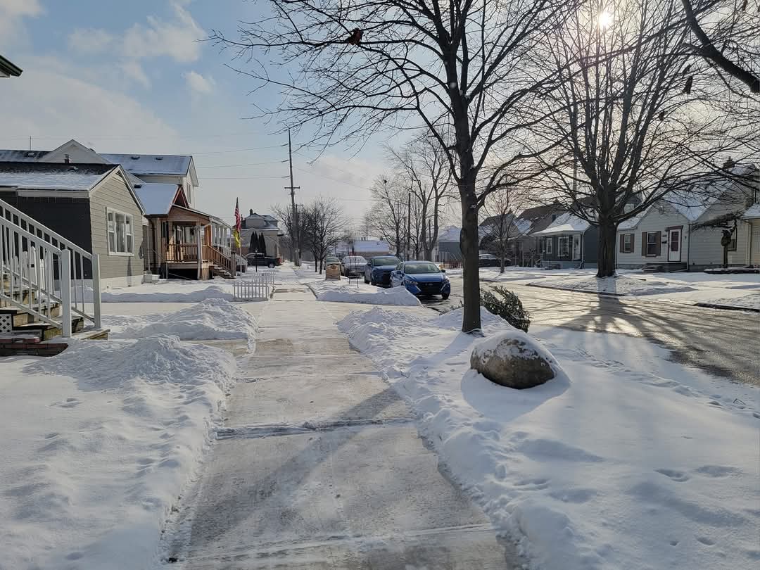
Picked up 0.30" of rain and a trace of snow early this morning. Even when a thaw isn't anything impressive (warmest was 38°) seems to maximize its irritation factor. Sunny all day yesterday and then dewpoints to 36° overnight with the rain. About 1-2" of snowpack left which is glaciating. The type where yards/parks/protected areas are 95% covered but near busy roads it's a mix of grass/snow. At least it'll be mostly white.
-
Winter 2024-25 Medium/Long Range Discussion
michsnowfreak replied to michsnowfreak's topic in Lakes/Ohio Valley
lol of course theres a shot at a late winter snow. Your area can literally get snowstorms into April. But theres absolutely nothing in mid-January that is going to shed any light on whether or not you get a big storm the remainder of this winter. -
Fall/Winter '24 Banter and Complaints Go Here
michsnowfreak replied to IWXwx's topic in Lakes/Ohio Valley
I think any snow melting weather is gross lol. I loathed seeing the sun today haha. -
So true about lake effect. We see lots of flakes from lake effect here but are never in those insane bands so dont know the pleasure of having 3 feet while 10 miles away has nothing. Today will only be the 2nd day of January at Detroit to not see any snowfall. DTW is at 12.5" on the season but at least we have snowcover and the lake ice is getting thicker by the day (other than the blip of mild weather today). Not at all the pattern youd expect in a La Nina but its definitely winter.
-
Winter 2024-25 Medium/Long Range Discussion
michsnowfreak replied to michsnowfreak's topic in Lakes/Ohio Valley
Agree. I've always said it and the last many years have magnified it. I'll take our climate any day over the east. Way too feast or famine there. It's been nice to have the daily snow. Certainly have to think the pattern will change as shown. While it likely won't allow everyone to score big, it will certainly bring more winter storms to the region. -
The dreaded thaw before the cold today. Snowpack is 4" and has some good bulk to it. But hate seeing the sun and above freezing temps. Should definitely lose some. Then tonight rain develops and turns to wet snow then temps crash tmrw.
-
Winter 2024-25 Medium/Long Range Discussion
michsnowfreak replied to michsnowfreak's topic in Lakes/Ohio Valley
I hope west of MI gets some snow soon. It's been snowing here nearly every day and while we won't be getting anything big, it's nice to have snowpack for the deepfreeze. The east coast snow drought has definitely been worse than here. They've set records for longest periods without so many inches of snow in Boston, new york city, etc. It's not been a good winter so far for big storms outside of a few instances, so hopefully the more active look after this week pans out for many. -
Oh wow. Depth is 4" at DTW. Talking of snow measurement, this link has a bunch of neat information. If you click the link for "snow paid locations", it will show all first order stations and whether snow is measured by the NWS forecast office, FAA contract, or snow paid observer at a nearby site. https://www.weather.gov/coop/standards
-
Wow I never knew that! DTX first order sites are snow-paids, and I know I've seen most other midwest sites do T in their depth columns too (i look at a lot of F6s). But this makes sense why LOT doesn't. The FAA is so annoying. I love doing it the old school way. Detroit climate has always done T. I know 1948 is when they changed snow depth to whole numbers instead of tenths of inches.
-
Any idea why they do this at ORD? We still have T depth at DTW/FNT.
-
I remember the 1996 cold snap with completely bare ground too. Not as cold as Chicago, but still 3 straight days with lows below zero. Ahh the winter of 1995-96 from, Chicago to Detroit. ORD may hang onto their 1" depth tho?
-
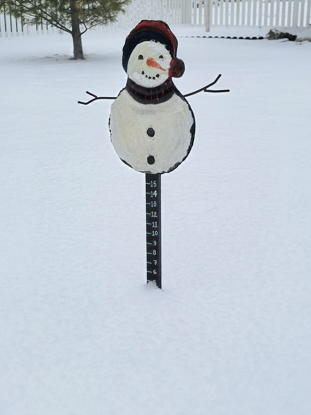
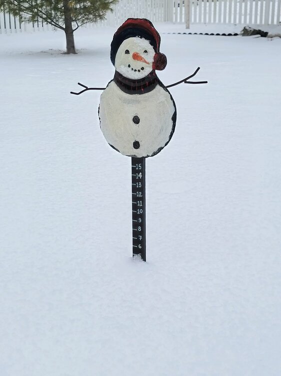
Yup. Was a very pretty snowfall today, the real fluffy kind. Finished with 1.5" here and 1.4" at DTW. Ive now nickled and dimed my way to 7.4" in January and 12.9" on the season. Definitely looks like winter outside.

-
Winter 2024-25 Medium/Long Range Discussion
michsnowfreak replied to michsnowfreak's topic in Lakes/Ohio Valley
Maybe you'll get lucky. The 384 hour op GFS has an impeccable record. -
It's not a new normal. Its a weather pattern. A snowblower is a worthwhile investment if you have a big driveway.
-
Winter 2024-25 Medium/Long Range Discussion
michsnowfreak replied to michsnowfreak's topic in Lakes/Ohio Valley
It sucks big time for those areas. But this is absolutely the risk a cold/dry/suppressed pattern produces. It has happened many times in the past. FWIW I have no doubt that areas of MN that have bare ground and dont even rise above zero next week will get a 10" wet snowstorm in mid-April. -
Its unfortunate for your area snowcover wise. Youd be satisfied in MI. Im actually thinking DTW may get a top 20 coldest Jan.
-
Winter 2024-25 Medium/Long Range Discussion
michsnowfreak replied to michsnowfreak's topic in Lakes/Ohio Valley
From the NE forum. Not sure how it translates west of MI. -
Exactly. We actually can easily get better snowstorms when it's a "warm" winter pattern. But doesn't have that deep winter feel.
-
Picked up 0.6" here today. Now at 5.9" in Jan and 11.4" season. DTW got 0.8" with 11.1" on the season. Today's snow widely varied from a light dusting to 2" in SE MI. Keeping the snowcover fresh. I won't complain one bit as it looks like winter, feels like winter, and we won't be getting any big storms til this pattern changes so im enjoying the nickels.