mahk_webstah
-
Posts
11,845 -
Joined
-
Last visited
Content Type
Profiles
Blogs
Forums
American Weather
Media Demo
Store
Gallery
Everything posted by mahk_webstah
-
Lightened up for a little bit, but now back to moderate borderline heavy 79426240898__1B37123B-2949-4B4F-A913-2457DFB70DAC.MOV
-
And stuff is really wet, bowling with temperature dropping quickly road starting to get covered above 400 feet
-
Really ramped up quickly. Low visibility, heavy snow and great snow growth. The zones didn’t have this getting going till 4 o’clock. At this rate, we’ll have 2” by 4 o’clock.
-
Snowing now. Small flakes but steady and increasing
-
Wunderground uppping totals still. 5” now.
-
yes
-
run less
-
yes. not really in snow mode right now but think we will be later next week.
-
And three or four days later…
-
March 15-18 looks potentially epic on ai gfs
-
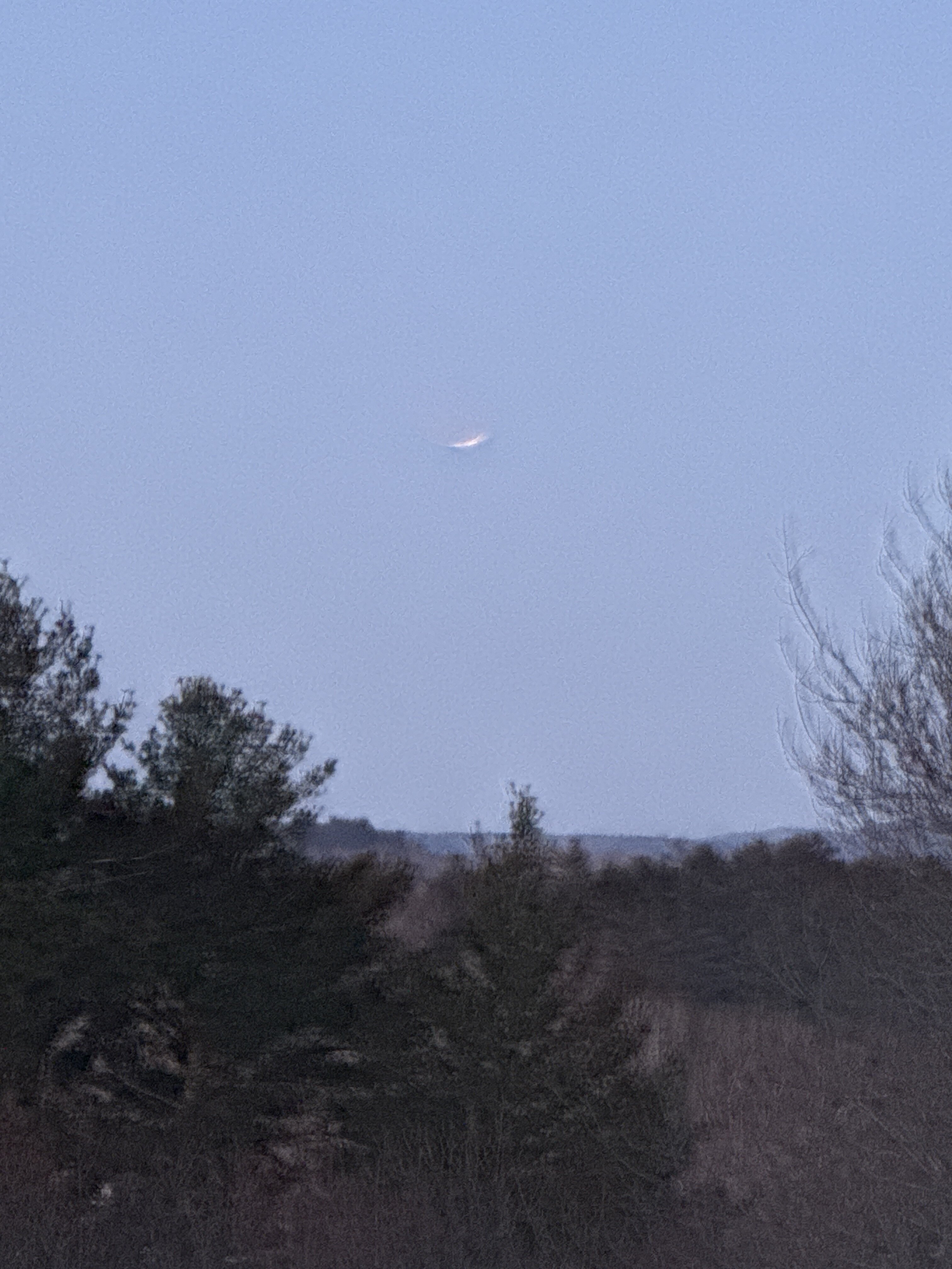
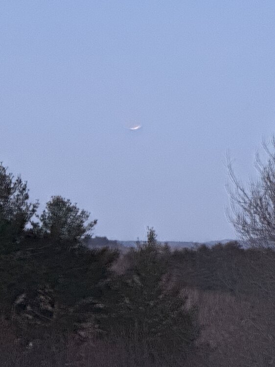
Great pic!
-
Full moon
-
Still one more to go before the thaw, though, Friday could be bigger than Tuesday
-
Yes, I think that forecast of 1 to 2 inches here are going to bust low. I’m thinking 2 to 4 but we might trend 3 to 6.
-
Euro ai doing something interesting on the 15th
-
Euro ai looks good for Tuesday here
-
All the forecast that I’ve looked at give us like 3 inches of snow on Tuesday night and then just mixing with rain the rest of the week. WPC has over an inch of QPF. But none of the forecast seemed to be very high confidence.
-
It seems like its hard to get a handle on what’s gonna happen over the next few days. Pattern change.
-
He’s a magic man
-
Well, now that we’re in the last day of February, we should go back to those important questions inspired byGlozelle. I would say that for a good number of us the answer to our question”is we back?”, would be yes as a good number of us had their second 15 inch + storm of the winter and for some areas this was even historic over 30. Even some of our most forlorn had 2 20 inch+ storms within a few weeks of each other.The whole region had great snow cover for most if not the entire month, and for many of us this snow cover went back, mostly at least until the end of November/beginning of December.So it did feel like a real February and a real winter, and I think we is back.
-
I did the CT 1 in Rehoboth Beach summer of 2020 it was pretty cool. You’ll probably have to travel for that. Hopefully at least lol
-
Whare you, like 40? lol
-
Huh?
-
Still looks like something that could evolve bigger or smaller even tomorrow. GYX thinks 1-2 here. The start of our last snowy stretch for this winter season?
-
My friends at WPC agree, and have for days. Particularly for up this way. It’s just unclear how it’s going to evolve, but there could be just under an inch of QPF sun-thurs. let’s pile it up for a few more days and then melt it out. I’m all in.