snowstormcanuck
-
Posts
12,356 -
Joined
-
Last visited
Content Type
Profiles
Blogs
Forums
American Weather
Media Demo
Store
Gallery
Everything posted by snowstormcanuck
-
After Tuesday's surprise snowfall, YYZ up to 63.1" of snowfall for the winter. Anything 60+ here is elite.
-

Winter 2021-22 Complaint/Banter Thread
snowstormcanuck replied to IWXwx's topic in Lakes/Ohio Valley
This is why Koppen climate classification always seemed lacking to me. It classifies basically the whole eastern 2/3s of the continent between 40 and 50N as humid continental. But areas between the Rockies and Mississippi River are true continental climates with huge temperature ranges, colder average temps, less precipitation, and a pronounced summer-time max. in precipitation. Here in the Great Lakes it's more a semi/modified-continental climate, with less temperature range, warmer average temps, more even distribution in precipitation between the seasons, and more precipitation overall than areas further west. I don't think I ever went on a Koppen rant on this board, so, there it was. -
Same up here. EURO clued in a bit on the northward jog but even it didn't jog enough. Half the qpf observed vs. the model consensus. About 2.5" total.
-
Stat padding. Best case this looks in the 2-6" range.
-
Cure my SE trend hangover event 2/21-2/22
snowstormcanuck replied to Baum's topic in Lakes/Ohio Valley
This might be another ice jam producer on Tuesday but that's about it. Storm later in the week is the one to watch. -
Really needed a death band to get those higher #s to materialize. Still, low-end warning criteria snow after buckets of rain ain't bad.
-
Haha...I just tweeted to Ross Hull that the METAR reports which a lot of people use to convey storm totals at YYZ usually are low by a few cms of the actual observed amount you'll see published on EC's website tomorrow. I don't exactly know why that is (maybe the hourly obs are rounded down? So, 2.8cm is reported as 2cm Just a guess). I think the "official" number will be a bit higher at YYZ.
-
Last band about to push through. We'll probably end with around ~7". Not a bad storm but the GFS/RAP runs showing 12"+ were, as expected, a little off.
-
YYZ reporting 4". Think we'll probably make a run at 8"...10" is probably a bridge too far. Heavier snow has been more showery rather than steady banding.
-
Glad it's working out for you. You were getting a little down there
-
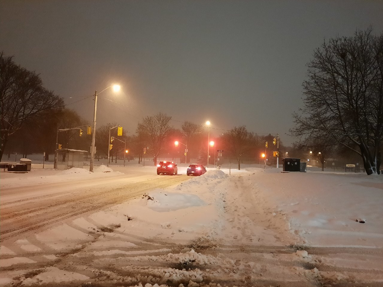
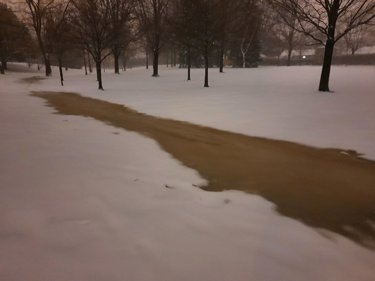
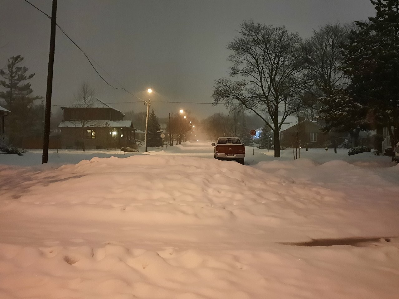
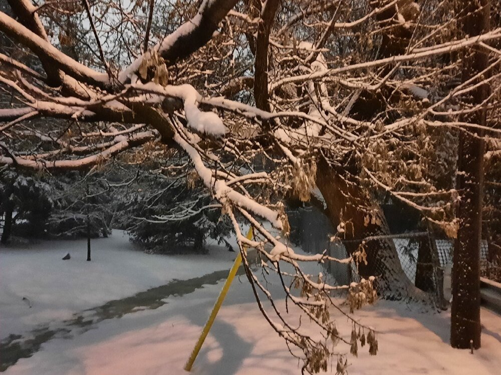
Just random pics from a snowy night's walk.


-
Going for a walk in it soon!
-
Just started exploring the correlation coefficient feature on RadarScope. Great for these mixed pcpn events.
-
I'd say it's a foregone conclusion. Question is if we get up to the 8-10" range.
-
Poundage. Avoided the dreaded protracted RA/PL/ZR transition period. Looking good.
-
And just like that fat flakes mixing in. Let's do this!
-
Yup, can hear them against the window.
-
Flipped to ZR about 45 mins ago. SN being reported just to the west. Shouldn't lose too much qpf during the transition. hopefully.
-
Yup...agree. 992 to Elmira NY is a good track climo wise for +SN.
-
Lotta love for the Gulf. I missed it when I lived out west.
-
Already over 0.75" of rain at YYZ. Decent shot of a AOA 2" storm total, which is pretty impressive for Feb.
-
GEFS were all on board with NW track too. Ensembles useful if they contrast with their OP but can't get reassurance from them if they're similar.
-
It probably happens more often than I remember.
-
Springtime warmth one day followed by a solid snowstorm the next. Not too many events I can think of like that. Feb 6, 2008 is about it.
-
Wonder if it's a bias. Was the driest for the Jan 17 storm (way wrong) and GHDIII (spot on).