IUsedToHateCold
-
Posts
838 -
Joined
-
Last visited
Content Type
Profiles
Blogs
Forums
American Weather
Media Demo
Store
Gallery
Everything posted by IUsedToHateCold
-

Jan 24-26 Weekend Snow and Sleetfest Model Thread Part Tres
IUsedToHateCold replied to H2O's topic in Mid Atlantic
Glad to see the southward trend continues. Nina FTW. NAM thermals from this morning are probably overbaked, we will get a better grasp tomorrow on p-type. I feel confident that even if we sleet a lot, the sleet is going to really pile up, but I'm more confident we're going to see a lot of snow. I'm sticking with 10-12 for DC. -
We know where the deathbands will be. It's all down to snow climo now. A southward/suppressive trend wouldn't surprise me towards game time (it is Nina climo, right?) but we definitely don't want too much of it. My call: DC: 10-12 Baltimore/My Yard: 11-13 Columbia: 13-15 Frederick: 16-18 Hagerstown: 20
-
The fact that the AI GFS doesn't support the physics model is pretty telling IMO. This would be an absolutely devastating coup if the Euro were to cave. Like I said earlier, I think the GFS caves, maybe even at 00z... but I don't think this is over yet. We will get a last minute trend in one direction or another (hopefully positive).
-
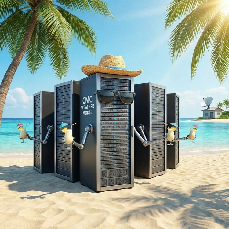
GFS is rolling. Will it hold or cave? My guess is that it stubbornly holds. The island life is too good.
-
For winter storms you get hit with a double whammy if you live east of 95 in Maryland - you're closer to the bay, which means slightly warmer temperatures in the winter, and being further east means you're closer to coastal lows. Even 20 miles out from the bay you still get a little bit of the effect. Drive from Columbia to Severna Park and watch your dashboard thermometer and you'll see. If there is one benefit to living in the east - you never worry about QPF. You open your windows and look outside and you see its a swamp out there. And you're reminded that you're the QPF winner.
-
And so, as expected, the GFS is out enjoying a Pina Colada on its island. Uccinelli was right. Only thing we can really hope for is a turnaround as things get closer - a faster system that lets the confluence stick around or confluence that sticks around longer.
-
There's going to be sleet. Especially here in AA county. The question is: how much sleet? GFS says not a lot, every other model has substantially more. GFS is probably going to cave, but its not certain. We're still three days out. Better confluence up top will lead to a more GFS-like solution
-
So the GFS holds. Good. Only problem is that it's kind of on an island. Let's hope it's right for once.
-
What is the E/E rule? (sorry, I haven't heard this one in my 20 years on the forum)
-
That's some weird output. No way DCA gets more snow than NW AA county. It's the NAM at range for you...
-
It's the NAM outside of useful range. Today basically comes down to the Euro vs. GFS. GFS gives us more snow and Euro gives us more ice. I wouldn't bet on the GFS.
-
I would think the AI models get all the same data the physics models do, except instead of feeding a physics engine they feed an LLM. If that map is right then it seems that the AI has definitely gone with the WV primary idea, which is not great news.
-
Euro has the extra data tonight, so it's to be trusted even more than usual. Although, it's really going to come down to how the confluence is handled I think. I think there is still a possibility we win real big with this one if we can thread the needle. Practical expectation is to expect sleet.

-
It's got to be the confluence. If the high is further north and further east that lets the primary come up further north and further west. So, like someone said, I don't know that the Baja low sampling is going to give us much - we really need that energy in Canada to be sampled to figure out what's going to happen.
-
GFS is rolling, I don't see any changes through hour 18
-
My layman's understanding is that we don't want the low to phase too early or too strongly or else it will punch through the high and cut. If it holds back to the west that is more likely to happen.
-
Holy wow - I cannot believe this map because I've never seen temperatures like that around here. In my neck of the woods the lowest I've ever seen the temperature was 1 degree.
-
Based upon the snow climo around here, the Euro map looks pretty close to what I think will happen. NW of DC get 20+, my yard gets 12-14 with rime on top. I think high end we bump those totals up to 6 inches, low end we take 6 away and add a lot more sleet. I think higher end is more likely, but we'll probably end up close to the middle. Considering we haven't had an event like this in 10 years, just book it.
-
I agree. The whole solution seems fishy to me. Either the HP is weaker than originally forecast and the storm punches through (makes sense) or the model isn't accounting for it properly. And since it is the only model that seems to be overamping the system like this (outside of the Ukie yesterday) I just can't really worry about it.
-
The CMC is out on an island enjoying a cold drink. Just leave it alone.
-
It's the NAM outside of it's reliable range (if that is even a thing), right? I can't be worried with a 1042 High Pressure sitting right to the north. Next.
-
I feel like the recon data ingest is the last point where this can fail. If we get good modeling on the energy coming on shore and we're still good, then it's all systems go. I feel like the solutions where we flip to sleet in the east/southeast are probably right based upon past storms. I'd say the majority of major storms since I moved to the area in 2011 have been that way. If that doesn't happen we're probably ending up with less overall QPF as we end up with a weaker coastal or none at all. So it's like 10-14 inches or 14-20 inches plus sleet. I'll take the sleet any day. It's a good chance to go out and shovel since it doesn't accumulate fast and you can put salt down to melt it easily.
-
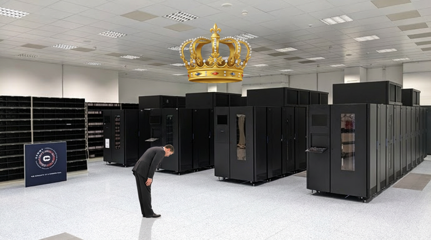
We await the King

-
The cliff jumping in here over the CMC is ridiculous. Icon and GFS already smoked us. The King will probably do the same (and yeah, I will always bend the knee for the Euro)
-
I lived in Charlotte for years - not a snowtown. Any run giving them that much snow should be tossed unless it's repeated and supported by the other models. TBH, I find it hard to believe that a suppressed solution is actually that strong. Usually suppressed solutions are *weaker* This is probably just the GFS being the GooFus. That said, that much snow for them would be absolutely crippling.