tavwtby
-
Posts
2,831 -
Joined
-
Last visited
Content Type
Profiles
Blogs
Forums
American Weather
Media Demo
Store
Gallery
Everything posted by tavwtby
-
after the initial good stuff I now find my area again just outside the good banding, ffs can one just rot over my head for once...1.2 new, not expecting any more than 2 at this point
-
snow growth just tanked now, we grap and sand... about an inch on the table
-
the variations in weather in NE, SNE more specific, have always fascinated me, amazing that so little distance can make so much difference, but yeah pavement cancel has begun here as well
-
you'll get there me thinks.. look at us rooting for 30" on the season..ha
-
nice band just to my north too, despite that, snowing nicely, probably about 1sm vis now, varying...good snow growth though now sitting at 30 here so there's also that, Waterbury was at 35-37 per car thermocouple
-
about .5" on some surfaces, including some roads, varying intensity but just took a ride down to Waterbury and went through a very heavy snow patch between torrington and Winsted, very odd microclimate area there I've noticed over the years, but I'm over 30 on the season so there's that...
-
Nice little band setting up for the pike region it looks like snowing pretty good here in Winsted starting to accumulate on grassy surfaces but I'm sitting at 32
-
meh, radar looks like garbage, once again get a little excited about something only to have it pull back last minute, well I need .2" to crack 30, so we'll see if I can pull that here
-
March 2022 Obs/Disc: In Like a Lamb, Out Like a Butterfly
tavwtby replied to 40/70 Benchmark's topic in New England
for real man, that was probably the highest, and most frequent wind gusts over a long duration I've seen here in a while -
absolutely, I recall a storm in the late 90s that was brutal on the roads both on top of Meriden Rd and the top of 69 wolcott/bristol line area, also across town in bunker hill while downtown was glop
-
dude I remember that, my birthday storm that year, got 2" of grap chicken stars soup stuff in Waterbury, while prospect got like 8-10" just a few miles away
-
March 2022 Obs/Disc: In Like a Lamb, Out Like a Butterfly
tavwtby replied to 40/70 Benchmark's topic in New England
of all the wind events this season, I think this one is the most severe, have to check the data but damn! the gust frequency and sustained, can't wait to see what damage awaits in the morning, can imagine multiple limbs littering the lawn.. -
March 2022 Obs/Disc: In Like a Lamb, Out Like a Butterfly
tavwtby replied to 40/70 Benchmark's topic in New England
higher gust as I write this, a few good house creakers tonight, gustin into the 40mph range here...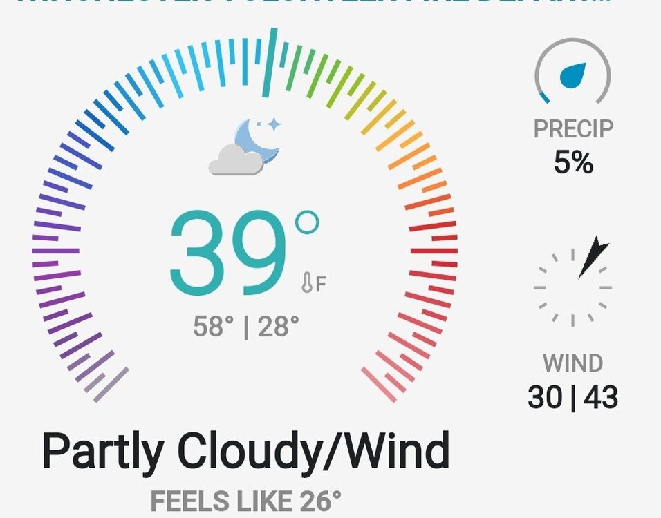
-
March 2022 Obs/Disc: In Like a Lamb, Out Like a Butterfly
tavwtby replied to 40/70 Benchmark's topic in New England
yeah thems high end advisory snows in SNE...RGEM though, gotta see other agreement to be bought at this stage -
March 2022 Obs/Disc: In Like a Lamb, Out Like a Butterfly
tavwtby replied to 40/70 Benchmark's topic in New England
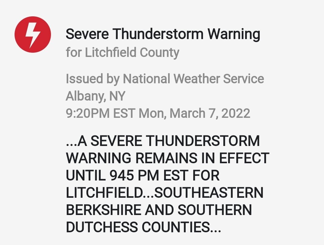
Absolutely pouring... severe warnings and all that, welcome spring??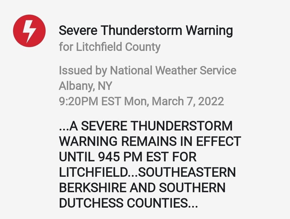
-
March 2022 Obs/Disc: In Like a Lamb, Out Like a Butterfly
tavwtby replied to 40/70 Benchmark's topic in New England
62 here with a dew of 52, nape warmed by the sun, chickens muck and mired in mud from the rapid melting of snow...grass cancel, cancel here shortly -
March 2022 Obs/Disc: In Like a Lamb, Out Like a Butterfly
tavwtby replied to 40/70 Benchmark's topic in New England
so, the 12th threat is now a rainy cutting mess? granted almost 10 days out and time to correct, but some pretty wide spread on the ensembles... -
March 2022 Obs/Disc: In Like a Lamb, Out Like a Butterfly
tavwtby replied to 40/70 Benchmark's topic in New England
barely even to measure here, looks like it may have rained before what looks like a coating of grap -
March 2022 Obs/Disc: In Like a Lamb, Out Like a Butterfly
tavwtby replied to 40/70 Benchmark's topic in New England
too bad that's 10 days out, cause it sure is purdy, -
March 2022 Obs/Disc: In Like a Lamb, Out Like a Butterfly
tavwtby replied to 40/70 Benchmark's topic in New England
iirc, wasn't that like the first storm where they used long range modeling, or at least verified their forecast potential as being accurate, somewhat? I remember them forecasting that over a week out hyping it up and did it deliver, more Miller A so appalachian areas got the most snow, but was still good here, remember we got like 2 hours of thunder sleet/snow midday in that if memory serves, would be nice to have something half as good for this upcoming period, lots of pieces coming together to pop off... -
March 2022 Obs/Disc: In Like a Lamb, Out Like a Butterfly
tavwtby replied to 40/70 Benchmark's topic in New England
blast from the past...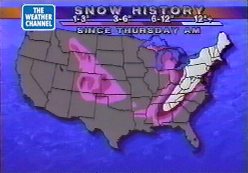
-
March 2022 Obs/Disc: In Like a Lamb, Out Like a Butterfly
tavwtby replied to 40/70 Benchmark's topic in New England
oh duh, I was doing math for 22, not 18...my bad -
March 2022 Obs/Disc: In Like a Lamb, Out Like a Butterfly
tavwtby replied to 40/70 Benchmark's topic in New England
wasn't the "Storm of the century" on that date too -
March 2022 Obs/Disc: In Like a Lamb, Out Like a Butterfly
tavwtby replied to 40/70 Benchmark's topic in New England
that would be nice to save the season here, I believe I got about 2' in a week and a half period then... -
March 2022 Obs/Disc: In Like a Lamb, Out Like a Butterfly
tavwtby replied to 40/70 Benchmark's topic in New England
well if verified would break 30 for me so I'm rootin!