psuhoffman
-
Posts
26,412 -
Joined
-
Last visited
Content Type
Profiles
Blogs
Forums
American Weather
Media Demo
Store
Gallery
Everything posted by psuhoffman
-
This was the first year in like forever that he didn’t predict like 500% snowfall for 95 so it would be this year that we get another snowmageddon
-
Better way to get cold into the pattern.
-
Everyone could just stop paying much attention to it like I did and things would run a lot smoother around here.
-
Oh he went THERE I do agree that the better analog is 2010 but using the most extreme example is dangerous because results of a similar pattern are not always the same.
-
Fringed
-
Yes but again it’s not the type that matters. It’s the track. Problem with an all northern stream system is it’s difficult to get them to track far enough south. Actually when they do track far enough south they are dry and just clippers because typically a system diving southeast isn’t amplifying and a NS system diving south in a northerly flow is cut off from any deep moisture source until it hits the Atlantic and that’s too late for us. Amplifying storms usually are lifting poleward. So to get a NS system to bottom out and begin to amplify/lift north and still stay under us is really hard. We are just too far south for that normally.
-
Which storm recently was supposed to be a snowstorm? I must have missed that.
-
I saw that. I remember talking to Ant in 2015 when the mjo plots looked hostile but we were in an icebox pattern. Those auto generated plots can be misleading when there are conflicting wave signals. You have to look at the chi charts and convection and ascertain where the dominant tropical forcing will be. He thinks regardless of the Mjo plots the dominant forcing will be in the Pacific then IO in late January. Those are cold signals.
-
That’s the one
-
Yup you should stop tracking and check back in 2 weeks
-
I can’t predict whether the blocking runs straight through or weakens then reloads but history strongly suggests the -AO/NAO state hangs around in general for a while.
-
EPS can’t decide which wave to key on between Jan 8-15. Hits scattered throughout. Definitely a coastal signal not inland. A secondary snow Max (you always get one Max along the apps from upslope) runs along 95 during that period.
-
This comment is directed at Europe but it’s pertinent to us also
-
-
-
Neither of those looks anything like the next 15 days on current guidance although the top one is another example of why we DONT want the N pac trough to go away @stormtracker he needs to hear it again...
-
EPS generally supports the op with a southern cutoff solution. But there are a few northern non cutoff members. Just enough to keep hope alive.
-
Yes but it was March with a crazy block. NS system dove straight SE right to the coast and stalled...then redeveloped northeast a day later. Crazy stuff like that can happen in March with blocking.
-
It’s a nice setup if the upper low doesn’t totally cutoff and dive down the MS valley like the GFS and Euro do now.
-
FWIW (not much) euro was close to setting up something big around day 12. It’s dropping a lobe of the weakened displaced TPV down into the Ohio valley and phasing. Look at the h5 loop at the end. Would have been interesting to see that play out another 48 hours just for digital fantasy fun.
-
Well @Amped will love the day 16 GEPS that is a great look if you want brutal cold and dry. It’s not nearly as good a look for a big snowstorm though. The SE ridge is just starting to pop there...it’s likely to get worse in future times as the trough pulls west some. Look at SLP anomalies, it’s a miller b pattern. The STJ is totally cut off there. That’s a look where we are cold and wait through day and day of bone dry model runs frustratedly saying “where did all the storms go now that we got the cold”. Sound familiar? That is a cold dry look there. It’s not the worst, we could luck into something. It’s better then anything we had last year. But it’s not nearly as good a big snowstorm look. I guess if you want the pond in your yard to freeze over it’s drool worthy! And I am NOT even saying that’s coming. It’s on an island with that look. I’m just pointing out if we want a big snowstorm that isn’t the look we want. If you just want really cold and maybe some minor nickel and dime stuff I guess that’s the look you want.

-
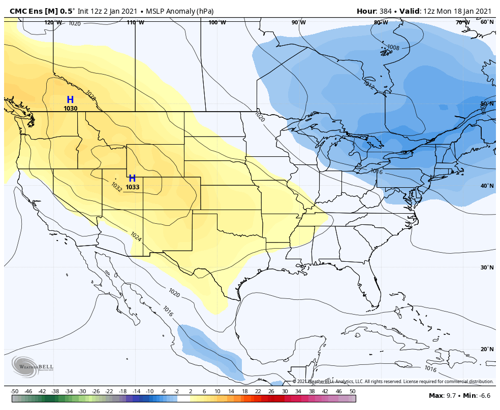
It still did better then the GFS. Euro was by far the best global but the CMC was second. GFS was awful.
-
Euro is trending more and more cutoff. We need some NS phasing. A totally cutoff solution can’t work out. The flow is too suppressive and there isn’t enough antecedent cold for that kind of evolution.
-
Lately when I’ve seen verification charts it seems to be consistently doing better then the GFS. GFS has really be a train wreck lately. And the CMC has significantly improved since its upgrade. Anecdotally the para gfs seems like a significant upgrade. Perhaps the GFS retakes its place as on of the elite NWP guidance after the upgrade but honestly lately I’ve gotten to the point where I barely pay it any attention anymore. It gets about the same weight as the JMA or ICON. ETA: I see Wxusaf ninja’d me
-
It’s not the joke it used to be. I know it teased a south solution in mid Dec but it still caught on way before the GFS. And it was the first model to catch that crazy deform band that ended up giving places 40”. Yes it was too far south with it but it depicted that feature for days when other guidance had no clue.