

psuhoffman
-
Posts
27,418 -
Joined
-
Last visited
Content Type
Profiles
Blogs
Forums
American Weather
Media Demo
Store
Gallery
Everything posted by psuhoffman
-
Some people act stupid. Others aren't acting.
-
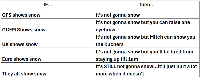
This is true of the Euro also... when it's Dr. no it's great but when it shows snow it isn't.
-
This is much less confusing once you all accept my conclusion that we are living in a simulation built by the jilted lover of a mid atlantic snow weenie.
-
AGAIN...the chart...
-
I guess if you don't differentiate between 24" and 4" lol
-
No I don't know...every single model has shifted quite a bit...Euro had been the only steady one and then it shifted last run...
-
Things are still trending...this is not the final outcome we are seeing today. But everything is trending the way we want for now. That's all I'm taking from this. UK was nice except freaking torched at the surface...would have been a nice 4-8" snow across the area if it wasn't so damn warm at the surface.
-
that is exactly what happens...and yea not worried YET although for a long time now whatever can go wrong does go wrong
-
a lot of changes still happening...but I need to know how a sub 990 low tracking INSIDE Hatteras ends up mostly missing us!
-
it looked good early but somehow wound up so tight it ended up a pretty bad run other than down south
-
Everything trends a certain way...except when we need it that way
-
The difference is minor but there...take whatever the GGEM ends up showing and develop the storm a little sooner and amp it up a bit more and that's what the RGEM was showing...which isn't to say one is more right lol
-
GGEM is slightly less amplified than RGEM at 84 hours...so they might end up close...but RGEM was going to be better.
-
maybe my bar is low but it looks a lot better to me
-
keep us close heading into the final 72 hours with that upper low closing off right over us and the inverted trough around and we have a shot at something going out way. But there is so much noise in front of this both it terms of how the blocking north of us evolves (and yes there is blocking...look at the flow over top of us, the Hudson High is doing it's job) and all the little SWs flying around. I think there are likely to continue to be some changes up until the very end here...so I just want us close enough that these changes could make a difference for us.
-
luckly for them it's still far enough out they don't need to have a nailed down perfect forcast YET...there is time for this to resolve. But if it ends up an inverted trough being ignited by a last second developing coastal lol...got help them...that's a nowcast situation and someone always ends up getting dumped in those but good luck predicting where...it's like trying to nail down the exact location of a thunderstorm ahead of time.
-
assuming they look the same at 84, they usually do, but past 60 sometimes they diverge a little
-
It wouldn't prove you wrong...this storm could be that fluke outlier...or maybe the pattern is about to flip...but there was a very clear storm track pattern from Mid December up until now. That isn't your imagination.
-
PS the rug pull is not just an US thing...models are often too aggressive with these and any minor delay in development means the snow shifts northeast some...so when Philly is the back ends 24 hours out it ends up NYC, when its NYC it ends up Boston. Remember 2015 when NYC was expecting 30" and it ended up hitting just east of them.
-
We can do well with a miller b hybrid where there is a wave coming at us from the TN valley but we almost always fail if its a pure NS miller b developing along the coast. It takes an absolutely perfect phase/capture for that to work. It's only happened a few times ever. There was one example in Feb 1996 that worked out. But we're talking a few times in 50 years that happened and worked...way way way more often we think it might happen and get a total rug pull like March 8, 2018 and Dec 2000.
-
seeing how close the ICON was...and comparing them at 84, makes me think it would have ended well. RGEM was already amplifying the wave. We need this thing to start developing in the TN valley not relying on that perfect phase capture miller b solution to get anything.
-
RGEM was significantly more amplified than the ICON at 84 hours...
-
I liked the end of the RGEM very much
-
I am not saying you are wrong...you're not... tendencies within patterns are a real thing. You're right. What I am saying is...it's not useful for predictive purposes because there are exceptions within those patters but most importantly you don't know when the pattern is going to flip. In 2005 we wouldn't have known the pattern was about to flip and go from a total torch to cold and snowy from Jan 20th on. Same in 2007. 2009 was dry all winter then we got that big snowstorm early March. 2015 flipped in February. 2016 flipped in January. 2018 flipped in March. 2019 flipped from good to bad in late January. 2022 was great in January and then flipped bad in Feb. It's pretty rare for a pattern to set in for the whole winter start to finish...sometimes a bad one does and we get 2020 and 2023. Sometimes a good one does and we get 1996/2003/2010/2014. But way way way more often the season is a mix and we get some snowy periods and some not snowy periods and end up somewhere between those few great years and few total dreg ones. And we don't know when the flips are about to happen until they do!
-
This was always a noisy setup with a lots of various SW's and phasing involved. Yesterday the timing and amplitude suddenly shifted with one of the waves and it changed everything. The euro was the closest all along to what everything else shifted to, with a stronger wave in the lakes on Friday/Saturday that stalls instead of lifting out. The timing of the weak STJ wave also changed and its running way out ahead on Saturday now, this is also influenced by the pinwheel in the lakes that wasn't there or nearly as strong on guidance until last night. But guidance is also trending towards a stronger inverted trough feature, also related to what's going on over the top of us. But those are really hard to pin down. With the trough hanging around and the upper low cutting off near us it wouldn't take much for this to come back if guidance identifies another SW to amplify. Most guidance just changed its mind with the wave that is now some weak POS on Saturday...it's not crazy if they find another little vort and say...ok lets amp this one up instead...the trough is there...the mid and upper level energy is there...it just needs something to come along at the right time to amplify at the surface. I want to see what happens today on guidance.


