

uofmiami
-
Posts
2,094 -
Joined
-
Last visited
Content Type
Profiles
Blogs
Forums
American Weather
Media Demo
Store
Gallery
Posts posted by uofmiami
-
-
-
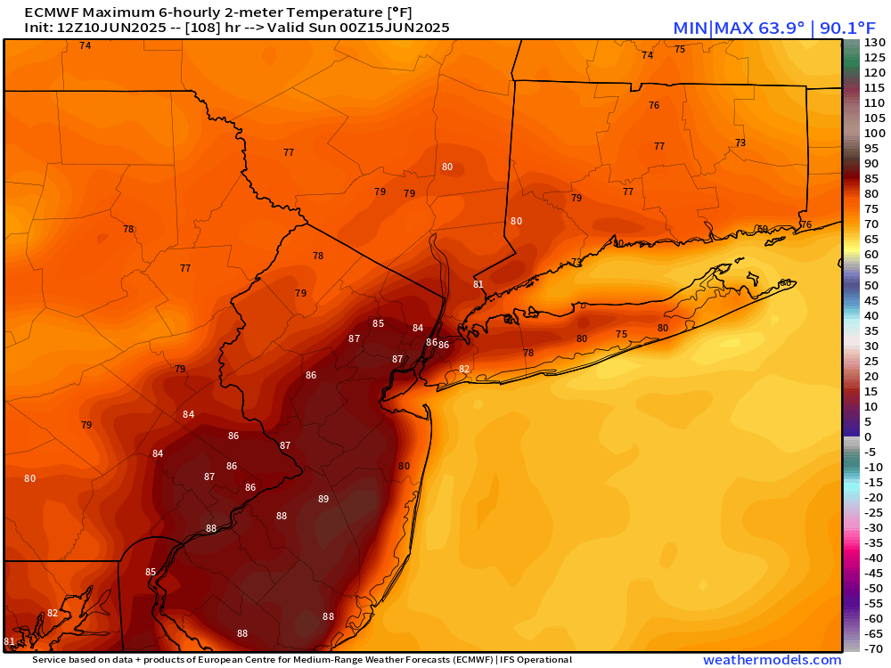
89 in Muttontown & 88 in N Syosset so far.
-
Curious to see what heat can be recorded before retreat, if phase 3 arrives in the extended.
-
 1
1
-
-
See if this holds for Saturday as the week progresses.
-
 1
1
-
-
49 minutes ago, psv88 said:
Pouring. We really need the rain
All that drought talk…..
-
 1
1
-
-
1.11” in Syosset & .42 in Muttontown. Looks like just E of Syosset totals go up to close to 2” by Dix Hills.
-
2
-
-
87 at both my stations for the high so far.
-
2 minutes ago, Wxoutlooksblog said:
An outside chance of briefly touching 90 on Thursday but I favor Central Park topping out at 88/89. Gonna be close.
WX/PT
Tree canopy FTW!

-
2
-
1
-
-
48 in Muttontown & 49 in Syosset this morning.
-
2
-
-
42 minutes ago, LongBeachSurfFreak said:
It’s freezing at Jones beach again. Fully clouded over, the never ending wind whipping. Three layers and I’m shivering and I’m a very large guy who doesn’t really get cold. Being up in a life gaurd stand fully exposed to the wind will do that.
Nice and sunny in S FL. Miami Beach around 90 with full sun. Air show down here has been great, as you can be in the water swimming and enjoying the planes flying over you compared to back home on land, since water is freezing.
-
1
-
-
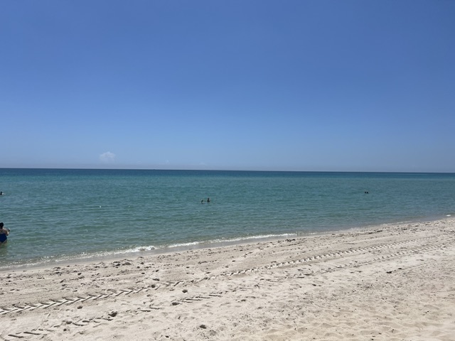
Coastal looking great here in S FL, haha!
-
3
-
-
1 hour ago, jm1220 said:
Going to TX for Memorial Day weekend. Will be quite a shock to the system going from 50s in a nor’easter to possible mid 90s.
I'll be doing that tomorrow, heading to S FL. Have a safe trip & enjoy the heat.
-
3
-
-
12 minutes ago, Sundog said:
Is all that stuff on radar that looks a lot more dramatic than it really is producing anything anywhere?
OKX is in clear air mode, that's why. If they switched to precip mode would be a lot closer to reality of producing not much.
-
1
-
-
-
1
-
-
-
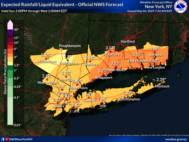
For the drought watch crowd:
-
1
-
-
2 hours ago, psv88 said:
Got a new Davis PWS for the new house. My old Davis still working at the old house (we move in a month). I put the new station next to the old one and the readings are identical across the board. Pretty accurate weather stations, still the best IMO
Both my stations are VP2s, quality equipment IMO.
-
2
-
-
1 minute ago, bluewave said:
The Euro has a WSW flow on Saturday ahead of the cold front. So so Western LI north of the Southern State could approach 80°. JFK should be able to go 75°+ but not sure about 80° yet since there could be a short trajectory off the water.


Wind direction is key for the Island, as you know, this time of year for any warmth. Keep the Westerly winds blowing & hold off the seabreeze as long as possible.
-
1
-
-
-
-
-
30 at both my stations.
-
1
-
-
3 hours ago, psv88 said:
Awful day for my son’s first baseball game. First pitch at 5:30. Will be absolutely brutal
Already went through that this past weekend with the travel tournament kick off my son had. Made it to semi-finals before losing to the winner of the tournament but 4 games in two days with cold weather (40s) and rain was miserable. Sun will at least be out for your son's game.
-
10 minutes ago, Sundog said:
62 degrees. I usually have it at 68 in winter. But with the strong Sun this time of year it should be warmer indoors tomorrow. It's just that it's been cloudy for basically 3+ days now that it allowed it to get so chilly inside.
Wind won’t help tomorrow once the sun goes down that’s for sure.
-
1
-


June 2025 discussion-obs: Summerlike
in New York City Metro
Posted
Need a whole house generator, I bet CONED will see a ton a voltage issues if the heat is as hot as modelled.