wthrmn654
-
Posts
3,953 -
Joined
-
Last visited
Content Type
Profiles
Blogs
Forums
American Weather
Media Demo
Store
Gallery
Everything posted by wthrmn654
-
Dam that line is fierce. 2 squall lines just merged into 1 down in Tennessee.
-
Sorry but try again. A trace isn't considered measurable by the NWS. You started by saying 9 in a row multiple times, then 7 now your down to 5
-
You might want to fact check your knowledge before posting about it non stop...
-
Big changes coming to the gfs model, new datasets, etc including AI stuff. Talking about it right now on weather channel with new guy in charge of noaa
-
What happened? You said 9 before, now we're down to 7?!
-
Non the less, if the 1 met who says there's a chance of a L forming of the coast giving most east snow, is correct then snow not rain. But I believe what he says with a grain of salt lol Around new years*
-
You are more annoying then Tony saying every winter storm threat will snow and "we track". @MJO812
-
Shocking no major storms enough to put a damper or stop festivities in NYC area.
-
In regards to a potential storm later end of month, I need some historian help, how many times has there been some sort of snow storm around new years day/ eve?
-
Just was talking to a guy from nws on slack, his standpoint is as follows. Hello Michael. Current thinking is that this is a high-end advisory wind event. An isolated gust to warning thresholds is not out of the question, but a widespread warning-level event is not likely in spite of the strong winds aloft. These winds from aloft would have a tougher time reaching the surface vs some strong/high wind events we had a month or so ago. Regarding its speed. It looks like it will cross your area at roughly 1pm give or take an hour.
-
They updated there afd, rather early today, and say there not confident enough to issue high wind Warnings but will be vocal of the potential.
-
.TIDES/COASTAL FLOODING... -- Changed Discussion -- A new moon occurring Friday evening will result in as little as 1 3/4 ft of surge causing minor coastal flooding and 2 1/2 ft causing moderate impacts. A high end gale south-southeast flow ahead of a strong frontal system will bring likelihood for widespread minor coastal flooding during the Friday morning high tide cycle for our Tri-State south facing coasts and even tidally affected rivers (Hackensack and Hudson R), with localized moderate along the southern bays of Queens and W LI. Models are in good agreement with peak winds occurring during the time of high tide for much of the region, with frontal passage occurring after high tide. This has increased the potential for widespread minor coastal flooding across vulnerable coastal locales along NY/NJ harbor, Jamaica Bay, great South Bay, twin forks of LI, and coastal Westchester/CT. Water levels will likely get close to moderate flood levels along Jamaica Bay and western Great South Bay, combined with rain and wave impacts, during morning commute, a coastal flood warning has been issued for exacerbated flood impacts. Otherwise, coastal flood advisories have been expanded into southern CT (wave action of 3-5 ft during high tide), E Bergen County and NE Suffolk County for similar reasoning as above/below. With S/SE gales ramping up through the time of high tide (favorable direction for surge along south facing coasts), high wave action onto open water coasts, and potential coincidence of heavy rain, this forecast has been leaned towards the higher end of plausible scenarios. A blend between SNAP-EX 50th percentile (NYHOPS 95th percentile), ETSS and STOFS was used. Offshore winds behind the cold front will end the coastal flood threat with subsequent high tides. -- End Changed Discussion
-
SHORT TERM /MIDNIGHT TONIGHT THROUGH SATURDAY NIGHT/... -- Changed Discussion -- Key Messages: * A strong cold front will move through near noontime on Friday, bringing strong to locally damaging winds and moderate to heavy rain, along with isolated thunderstorms. * Potential tying or record breaking temperatures early Friday fall back into the 20s Friday night, to below normal levels. Any leftover moisture may freeze if drying does not occur. Rain ahead of a cold front becomes more likely as the nighttime progresses with most of the area likely seeing rainfall by sunrise Friday. Strong low level jet lift and moisture convergence, plus a potential convective element with elevated instability, could cause the rain to be heavy at times. The heaviest rainfall likely occurs starting around sunrise with some impacts to the morning commute with the threat continuing until the cold front passes through late morning/early afternoon with a line of convectively-enhanced showers. Areas of minor/poor drainage flooding are anticipated. Flash flooding is not a concern at this point with the system pushing through fairly quickly and the liquid equivalent of any remaining snow pack is probably no more than a tenth of an inch. Still a chance of a shower in the afternoon behind the cold front, an maybe even some snow mixed in well NW of the city towards sundown. Regarding winds, an 80-90kt low level jet at 925mb shifts through much of the coastal area during Friday morning. Forecast soundings however show a strong low level inversion, so it appears that winds are going to have a tough time mixing down to the surface. It might take surface temps reaching 60 degrees to get mixing deep enough to bring down gusts strong enough for high wind warning consideration, and some spots may warm up close to this. Thinking is that about 50% of the 925mb jet winds could still mix down anyway, which translates to higher-end wind advisory gusts, but cannot completely rule out a gust or two that reaches warning criteria. Not enough confidence that the occurrence would be widespread enough to warrant a high wind warning, but will keep messaging the threat of isolated 60mph gusts in the advisory. No change to the end time of the advisory, but can`t rule out 46mph+ gusts for a couple of hours after midnight. High temperatures likely occur in the morning right ahead of the rain - generally in the mid to upper 50s. This is close to record high temperatures for the day. See the climate sections below for these records. Temps then fall somewhat with the rainfall, then fall more steadily in the afternoon with the start of cold air advection behind the front. A more rapid drop in the temperatures then happens this evening as the advection strengthens behind the front. Depending on how much winds can dry out surfaces before temps fall below freezing in the evening, there could be spots where freezing of standing water occurs. Dry weather for Friday night with high pressure building in. Winds will gradually diminish overnight. The high pressure ridge then shifts through the region Saturday afternoon and keeps us dry through Saturday night. Any precip with weak warm advection at night should remain to our north. Saturday`s high temperatures are expected to be just below normal.
-
They have dramatically upped wind amounts from Max of 40-45 mph gusts to gusts over 60 mph now.
-
Just glad my wind sensor broke few of the ice last night eventually
-
You have posted this atleast 3 times already, we heard you the first 2 times.
-
Fun fact several snowfall records were broken today islip and I think jfk, dating back to, 2013! Good snow year
-
2,750 power outages
-
My Freaking wind gauge I think is frozen on the roof lol. Frozen at 11 am
-

-
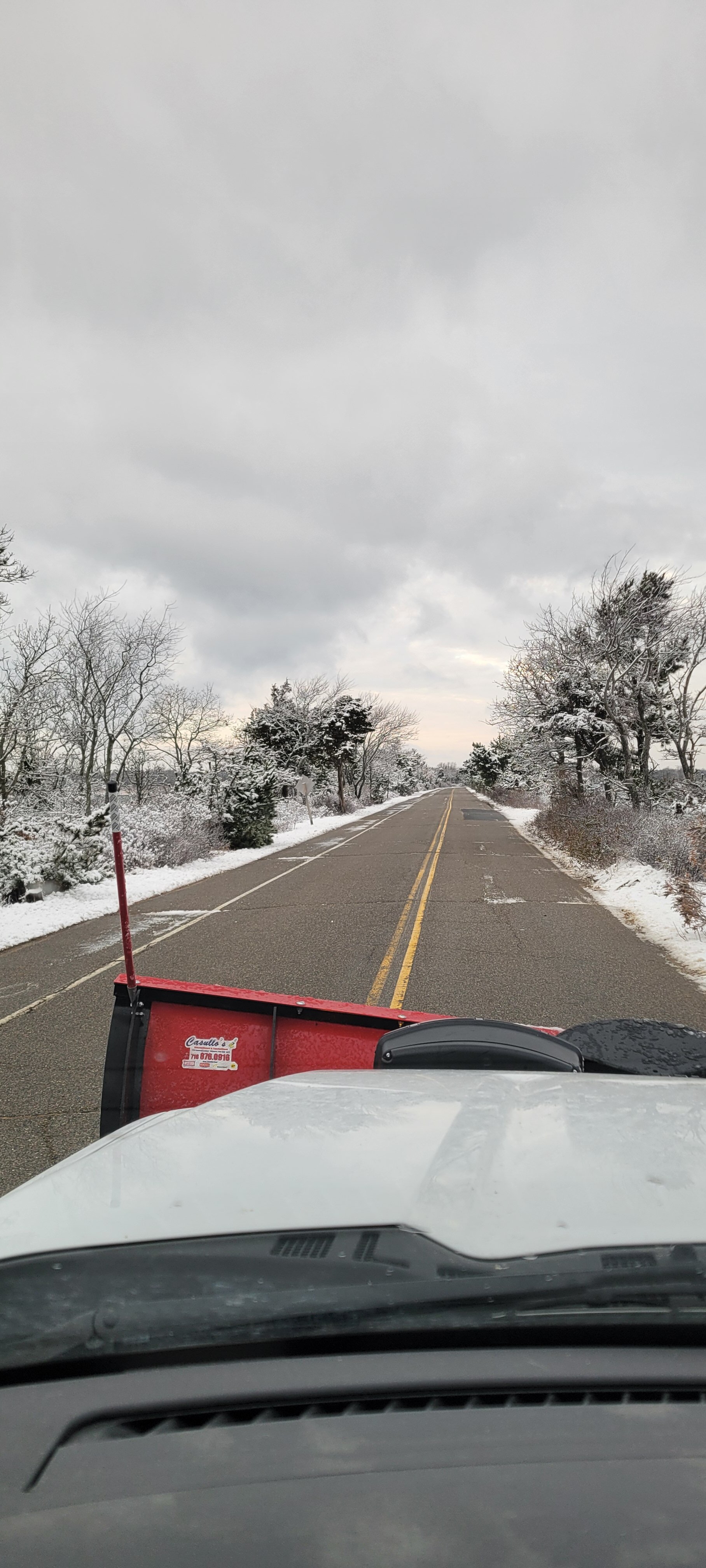
Places near riverhead I'm seeing reports of 6 or 7 inches
-
I'm going go with 4 inches storm was wetter and sloppier then expected. Epic paste job versus the fluffy.
-
Riverhead east has been kinda shafted based on radar loops so far. Winter weather advisories just got extended to 3 pm though so that's good
-
Temps dropping now everyone should now be below 32 atleast. Snow just exploded in intensity. I'd say 3-4 inches very hard to guess with compaction. 2.5-3 on ground with measurements few mingled ago though.
-
All roads are now snot covered state and side roads half inch to inch on ground. Very slippery. Plowing time