BuffaloWeather
-
Posts
25,696 -
Joined
-
Last visited
Content Type
Profiles
Blogs
Forums
American Weather
Media Demo
Store
Gallery
Everything posted by BuffaloWeather
-
 3" of snow in 34 minutes at the #Buffalo Airport! 1000 AM Snow 2 SSE Williamsville 42.94N 78.73W 01/17/2024 M3.0 inch Erie NY ASOS At Buffalo Airport. Snow amount occurred in 34 minutes.
 -
Just since last night
-
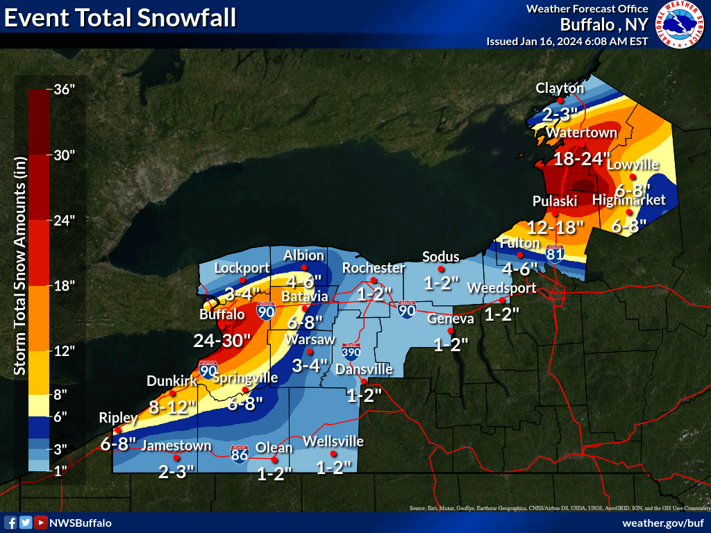
Got destroyed overnight almost 2’ here, just north of here got 30-40” since 8 pm last night
-
2023-2024 Fall/Winter Mountain Thread
BuffaloWeather replied to The Alchemist's topic in Southeastern States
Appreciate that strong! I’ll be going live again next few days as we’re getting another 2-3’! -
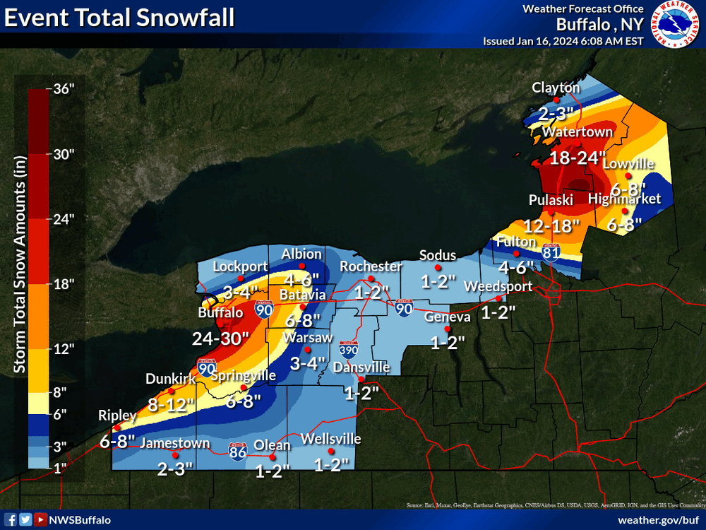
Another 2-3’ coming this week
-
Thanks for tuning in, glad you enjoyed!
-
41" storm total here. Winter storm watches in effect for another 1-2'
-
Up and over 40” here
-
Current conditions
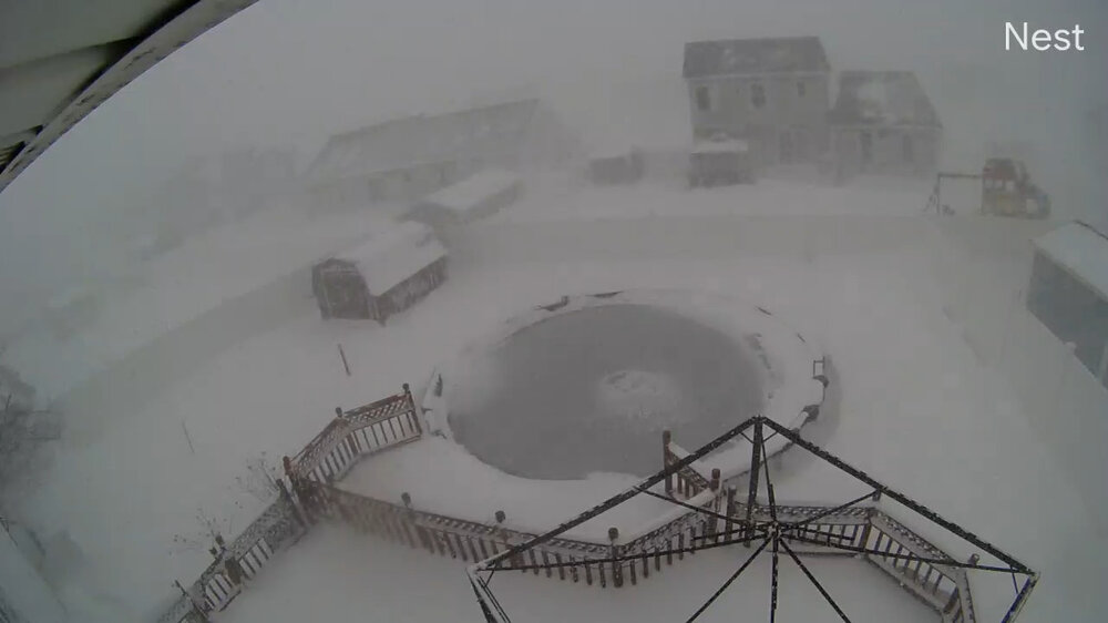
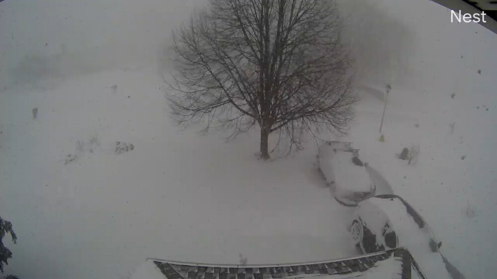
-
Off Lake Erie... A newly formed plume of heavy lake effect snow will position itself over the Buffalo Southtowns for the midday and afternoon. Snowfall rates could be as high as 3-5"/hr for sites like Hamburg and Orchard Park. The snow will be accompanied by wind gusts to 40 mph...but gusts as high as 50 mph will be possible on the edges of the band. For tonight, the snow band should remain centered across or near the southtowns, with a subtle northward drift into Buffalo late in the night. The band will not extend as far inland due to weaker winds. This said, snowfall rates of 1-3 in/hr will still be possible in what`s likely to be a more narrow but still intense band. Snow will be fluffier by tonight, with an additional 6 inches likely across the southtowns, with localized amounts to a foot.
-
Have to be up and over 2' now.
-
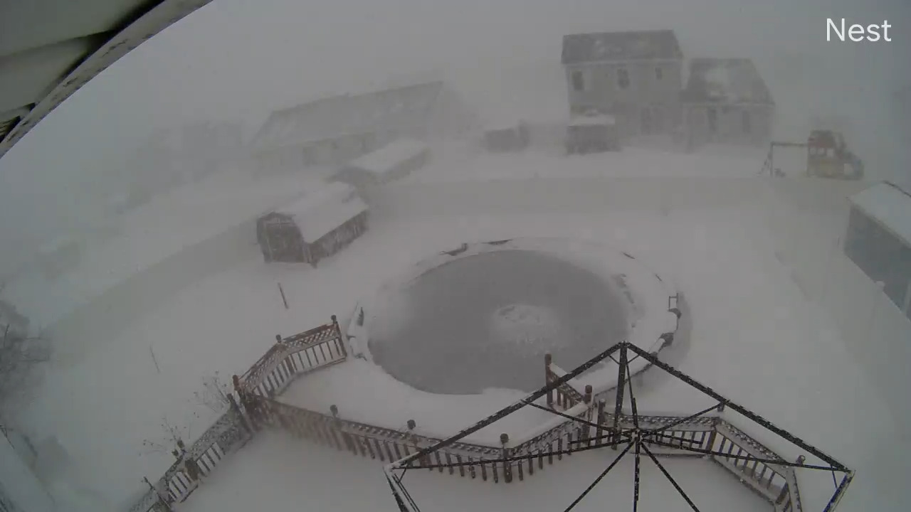
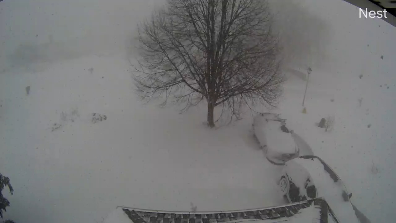
4" per hour rates happening here
-
About to go live and walk around in this.
-
Went live twice yesterday, we caught 30-40 bolts of lightning on camera if anyone wants to watch.
-
Currently 3-4" per hour and looks locked in for quite awhile here.
-
@MJO812
-
Making my cams public as im in the southern part of that heavy band. https://video.nest.com/live/AkBPrXWDS1 https://video.nest.com/live/Vviq8D95Q5 https://video.nest.com/live/aHG6JlGbqa
-
Getting absolutely destroyed here. Can't see across the street
-
lol you guys obviously haven’t been in a lake effect blizzard before. No synoptic snowstorm can compare
-
https://x.com/weather_buffalo/status/1746356796766232782?s=46
-
They moved the game to Monday at 430. Driving ban goes into affect tonight for all of erie county at 9 pm
-
Another event coming later this week with multiple feet of snow Arctic air pouring over the Lakes behind the mid level shortwave Wednesday and Thursday will generate again bands of lake effect snow, that could become heavy at times. Multiple feet of snow is possible with this second half of the week event, especially east of Lake Ontario. Oscillating bands of lake effect snow may just very well continue until the end of the forecast period.
-
Those rumors weren't true. I could see it being moved to Monday, but no chance they change cities. I can't wait to go, gonna be absolutely insane.
-
Latest Lake Temperatures 937 AM EST Fri Jan 12 2024 The water temperature off Buffalo is 41 degrees. The record high lake erie temp for the date is 40, so we have record high lake temps for this date.