

Herb@MAWS
-
Posts
2,141 -
Joined
Content Type
Profiles
Blogs
Forums
American Weather
Media Demo
Store
Gallery
Everything posted by Herb@MAWS
-
Looked away for 10 mins and boom! Tiny flakes to very steady snow — and still tiny flake-size. Temp was 35.1 early PM. 34.4 3pm first flakes in air. 33.8 3:30 pm — snow, seemingly almost instant stickage on mulch, deck, grill and usual spots.
-
Columbia 3pm: some very tiny flakes in the air now. Temp down in last hour from 35.3 to 34.4.
-
Sunday 5:45am Columbia 33.8° rain (overnight low 29.7°)
-
Snow showers have let up, it looks like an official coating (have not measured), which is almost the same amount we had on the ground just before dawn today, before daylight melted what fell pre-dawn. I’ll be in Culebra, in the Puerto Rico islands, 17mi east of the eastern mainland north coast starting January 26. Encouraging short- and long-term “snow/frozen in the air” forecasts aside … you can be certain that it will snow here while I’m away — same thing happened last year and I missed what turned out to be the (ahem) “best” snow of the season. So I’ll live vicariously through u while I’m chillin’. Culebra Days 82-85 Mornings 72-75 Usually sunny, some rip current warning days are not unusual. A scattered +/- 15 min shower not unusual but NBD. Just depends on timing of stay there. It’s 90 at nearby airport as I type this. Maybe I’ll even provide an annoying temperature update(!) but in the meantime just focusing on the next 36 hours. Will need stickage reinforcements and replacements by tomorrow. Whitened grass becoming more greenish already.
-
I’m at the gym staring out the window. Waiting and ready for the heavier band. Hope to drive home in it.
-
Light snow plus reddish sunrise here. 34.7°
-
Saturday 6:30am Columbia — a bit surprising to see steady snow, slightly wet, at 35.1°. 15 mins ago — nothing!
-
A few very small flakes passing my Columbia window view. I will temper any excitement.
-
IMO neither Ravens nor Steelers should have been in the playoffs. Neither was that good this year and certainly were not among this season’s elite teams.
-
Columbia imby 1.11” Jan 9-10.
-
Fun fact: Lamar Jackson is the 1st QB in NFL history with 2 lead-changing 50-yard or more pass TDs in the 4th quarter or OT of a game. And still lost! The game was representative of the majority of their entire season — including not being able to stop opponents in the final minute or few minutes, and not able to play 4 consistently good quarters. Offense came out strong, then went silent for 2+ quarters. Regardless, this was Lamar’s best game of the season IMO. Let’s go O’s!
-
Season theme: Ravens can’t hold a lead in closing minutes. This time they lose lead in last minute.
-
Columbia/east side: Dec precip imby: 1.63” (3.5” snow) Nov precip imby: 1.59”
-

12/31-1/1 Possible Snow Showers/Squalls to Start 2026
Herb@MAWS replied to bncho's topic in Mid Atlantic
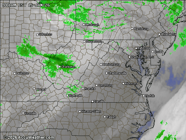
A coating of snow in Columbia from pre-dawn snow squall. -
Yeah, that too!
-
Unreal! Wish Rogers sucked like this a few weeks ago.
-
See that? All they needed to do was put Huntley in ! Fun to watch for a change, yet I keep telling myself “it’s not in the bag just yet”, becuz they have a knack of losing often in the last 3 minutes or less this year. I like Humphrey in general, but he’s getting fooled and beaten too many times so far.
-
Columbia, east side: 5:45am 31.1° 6:45am 30.2° 7:45am 30.1° and overcast now
-
Columbia, east side: 5:45am 31.1° 6:45am 30.2°
-
This morning at 5am BWI dropped to 33 while it was 46 imby, a mere 15-20 minute drive to the west of BWI. By 9am things have leveled off, 49 at BWI and still 46 imby/Columbia.
-
From NCEP Tuesday morning’s extended forecast discussion for 12/26-12/30. Note the word “now” picks up on colder trends. “THE COLDER NORTHERN TIER MAY SEE PLOWABLE SNOW CHANCES FROM THE UPPER GREAT LAKES AND NOW MORE BROADLY ACROSS THE NORTHEAST AND INTO THE NORTHERN MID-ATLANTIC AS SHORTWAVES AND FRONTAL SYSTEMS PASS THROUGH.”
-
Columbia east — 25.4° morning low. Noon 33°.
-
Columbia 0.32” Thursday night thru Friday morning.
-
Columbia east: 14.4° this morning barely beats Monday’s 14.6° for coldest-to-date this Fall/Winter season.
-
Columbia east side: Hi 23 Lo 14

