

SnoSki14
-
Posts
16,200 -
Joined
-
Last visited
Content Type
Profiles
Blogs
Forums
American Weather
Media Demo
Store
Gallery
Everything posted by SnoSki14
-
That's a beastly cutter too.
-
West coast ridge is more important than anything else
-
Just give the severe weather then. Hurricane gusts and massive temp drops. I'll take interesting over boring
-
It's usually better than December due to colder ssts and different wavelengths. We can get away with a bad pacific in March
-
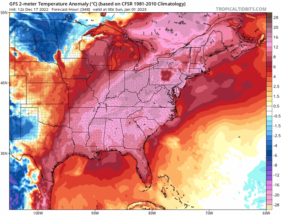
Happy New Year!
-
Probably longer. Ensembles show a massive Alaskan vortex. If that happens the first half of January would be toastj Just garbage all around.
-
If the CMC is right we have a better chance of seeing a tornado than snow
-
Makes you wonder if we'll ever be able to get snow with so many conditions against us
-
They still do. The cold arrives before Christmas.
-
Just give me a screamer at this point 70mph gusts. 50+ degree temp drops
-
At this point I'll take the extreme cold front. At least it would be interesting
-
Not if that solution verifies
-
CMC has the strongest arctic front we've seen in years. From 60+ to single digits in 12-18hrs along with 50-60+ gusts
-
A little early. Christmas Eve & Christmas will be very cold regardless
-
Very dramatic changes. I think we need to see a few more runs before saying it's done.
-
It doesn't always happen right away. Sometimes it can take over a month and December hasn't been kind to us. But it is what it is. Also not every strong -AO has led to a snowy outcome especially in a Nina
-
Yeah models runs suck today. PNA gets going too late. It showed this a couple days ago. We'll see if it reverts or stays this way.
-
The CMC is just an arctic front
-
Euro tends to overamplify systems in the LR, which is why its latest run makes me skeptical. Not saying it won't be a hugger but I'd be surprised if the Euro's evolution played out.
-
Idk what everyone's complaining about. I wouldn't want a perfect hit this far out on the models
-
I hope you realize how rare 4"+ snows are in December for your area. Hell NYC struggles to hit freezing until mid-late Dec
-
Sounds like you think it'll track inland. Certainly not discounting that given Atlantic warm pool. It's likely why we've had to wait til Jan/Feb to get a significant snow event at the coast lately
-
GFS went east this morning. Euro is over amplifying as usual. I think we're in a good spot
-
Euro over amplification bias in play. Latest GFS is more east. I like where we're at right now
-
That little leading shortwave could act like a 50/50 and prevent a CMC inland track


