Hurricane Agnes
-
Posts
9,263 -
Joined
Content Type
Profiles
Blogs
Forums
American Weather
Media Demo
Store
Gallery
Everything posted by Hurricane Agnes
-
SPC Watches now up for the CWA -
-
TORR up in the middle of that -
-
I have been watching the livestream of PennDOT's repairs of the I-95 span by Cottman Ave. and it's pouring there - https://www.penndot.pa.gov/RegionalOffices/district-6/Pages/AlertDetails.aspx
-
Lightning detector picking up scattered convection and am getting some light rain now (no bucket tips yet). Bottomed out at 57 this morning and am currently 71 with dp 63. Edit - hearing some distant thunder.
-
Heard on the radio yesterday - whole state of PA now under a Drought Watch - https://www.ahs.dep.pa.gov/NewsRoomPublic/articleviewer.aspx?id=22305&typeid=1
-
Finished up with 0.07" of rain yesterday and won't complain at this point. Had a low of 58 this morning and made it just short of 80 (79) for a high, with variable skies much of the day. Currently 69 with dp 57.
-
Got skimmed to the south although it deposited a hundredth of an inch. There's another little line trying to form west of Reading so will see if that holds together. Currently partly sunny and 72 with dp 61.
-
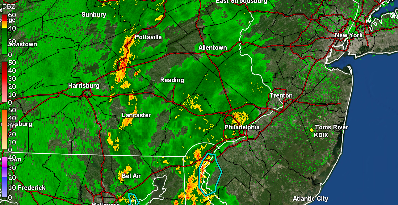
Cutting across downtown and missing me to the south. Sun has popped out here but will see if something bubbles up anyway.
-
That passed through where my Upper Darby sis is and she texted that she is getting hail, and has moved into Manyunk and all along City Line Ave near Bala Cynwyd and where the Schuylkill is coming into the city. I am to the north of it but the storm motion might have some of it swipe me.
-
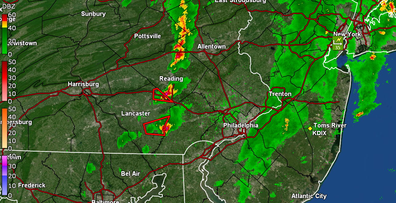
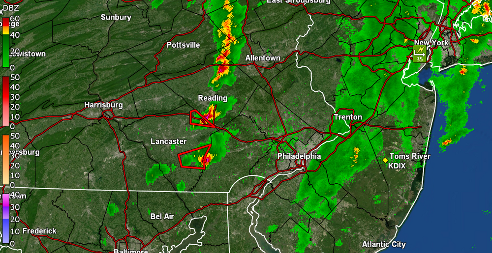
That one circled at the bottom might come up right up over me from the south but will have to see. It has clouded over here and temp is 68. Also picking up convection in the area.
-
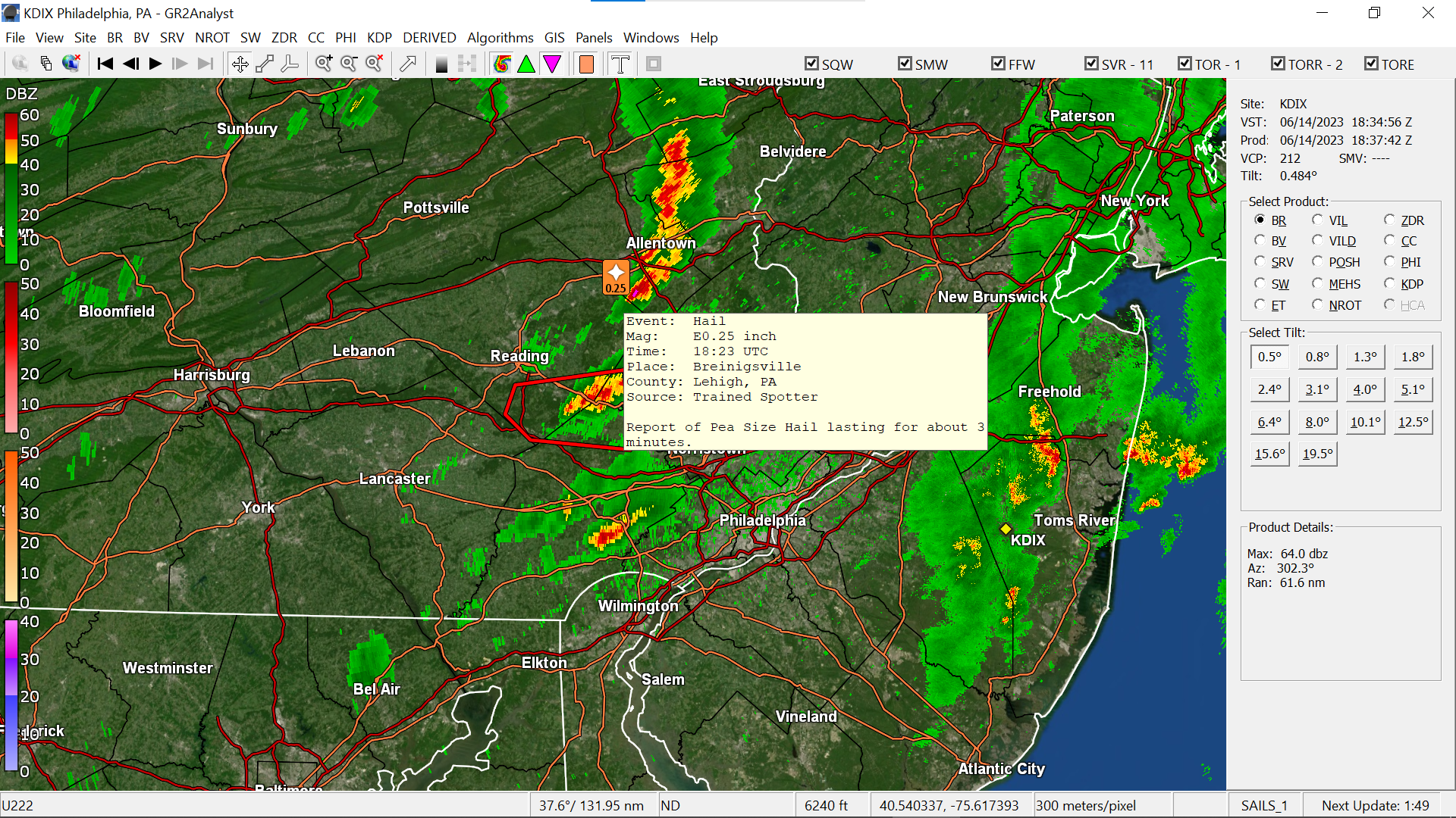
Wow. I just uttered your name (in vain ) just as you posted because i saw some hail reports up your way.

-
Warnings up...
-
Sun is trying hard to come out and temp is rising - now at 66/dp 63. Managed to get an additional hundredth of an inch and stand at 0.06" for round 1. EDIT - sun is now out and the temp is off to the races.
-
Have now gotten 0.05" and am watching that convective line forming to the west. I figure it will break apart before it gets here unless the sun manages to come out. It certainly is humid though. Currently m isty and 64 with dp 62.
-
Was getting droplets earlier this morning and light drizzle barely enough over the past hour or so, to finally tip the bucket to 0.01". Had a low of 60 this morning and made it up to 73 before the rain started up and now down to 66 with dp 63.
-
I did end up with a final of 1.67" yesterday and after a low of 58 this morning, made it to 78 for a high. It's currently clouding over and 71 with dp 53.
-
Looks like I might finish up with 1.67" from the event although there might still be some scattered stuff later but I will TAKE!!! Currently a misty 69 with dp 68.
-
Now at 1.66" of rain as the band pivots to the northeast. Thankful!!! Currently an overcast and misty 69 with dp 68 AND.... first steamy windows of the season!
-
LOL The gap would be where stuff would ooze through. (for some reason, although I may be wrong, is that they might try to aim for being done by Labor Day so it would also be done before the peak of hurricane season).
-
Now up to 0.97" and grateful!!! Getting a little over 1/4"/hr rates at the moment but so far, it has all been at varying rates in order to soak into the dry ground. Currently light rain and 67 with dp 67.
-
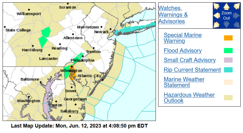
Flash Flood Warning for Wilmington and northern Delaware -
-
-
Now have twice as much in the bucket than all of May. Now up to 0.63" so far and saw that a Flood Advisory got lofted for Philly and Montco (but not on the sites yet). EDIT - finally up -
-
Finally getting some >0.5"/hr rain moving up from the southwest. Now up to 0.15" from the event so far. Temp is 70 with dp 68. Nice to have some yellows over me.

-
Zeus in his carriage has appeared! Thunder (and some convection in the area). Now up to 0.07".