-
Posts
9,273 -
Joined
Content Type
Profiles
Blogs
Forums
American Weather
Media Demo
Store
Gallery
Everything posted by Hurricane Agnes
-
-
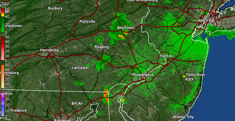
Don't see this too often around these parts - SWDY1 - "Enhanced Risk" for southern part of the CWA.
-
I don't think you'll see the below every day up there - Will see if that verifies!
-
I apparently got under some of that because I picked up a couple more hundreds just before midnight (total 0.03 for yesterday) but then had received another 0.47" just after midnight! I had seen some of it bubbling up before I went to bed but since I got missed by almost all of the stuff yesterday, I figured that would be a miss too. But nope. AND there looks like things have already fired up out west. Currently 68 with dp 68.
-
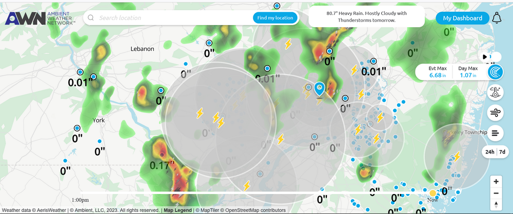
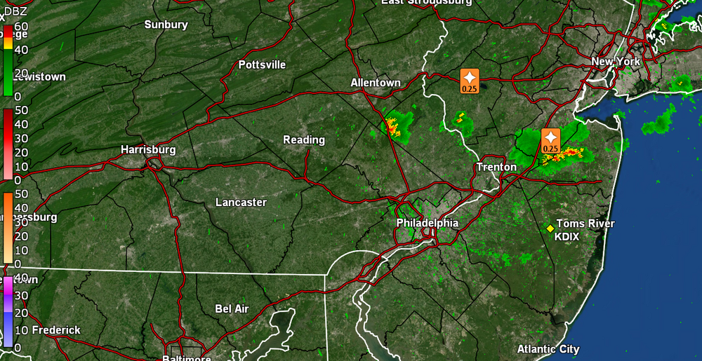
Finally got a bucket tip. 0.01"! Temp is 73 with dp 69 and very light rain. Literally hundreds of lightning strikes all around but nary a drop of rain until now. I suppose we'll have to see what happens tomorrow.
-
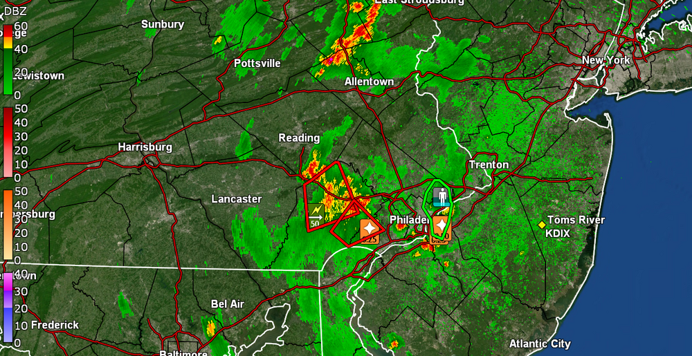
My Upper Darby sis said, quote, "And night fell". She is near some red dot in Delco. Meanwhile, all the storms around here have dropped my temp down to 73 and dp is 66.
-
-
Hearing all kinds of thunder in the area and lightning detector is continually firing up. Nothing directly over me yet though. Temp back up to 81 with dp 72.
-
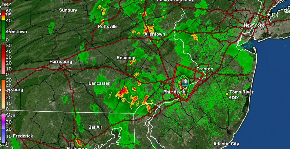
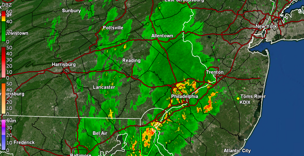
There's popcorn all around me but not over me. Can see it dark in various places but sun has been in and out here so the air is a bit unstable. What is interesting is that the radar seems to be showing a sea breeze front (or maybe east -> west outflow boundaries) that has moved in from Jersey and actually crossed over into the city. I had gotten up to 88 earlier but am now down to 79 with dp 70.
-
My Upper Darby sis texted that she is getting inundated down there. Right now the heaviest stuff is south of me although I have gotten some on and off light non-measurable rain Currently 74 with droplets and dp 72.
-
Sun has popped out here but wonder if it might result in some self-destruct tendencies if it destabilizes this already-muggy atmosphere. I picked up a couple hundredths more rain this morning for a total of 0.08" for the day and 2.08 over the past 2 days. After a low of 68 earlier, currently have changeable skies with clouds and sun and 73, with dp 72.
-
Picked up some more rain - 0.06" - sometime between 2 am - 3 am, making for a total of 2.06" over the 2-days and 2.09" the past week. Total for June to date has been 4.46" vs May that was 0.31". Currently a muggy and misty 69 with lots of low stratus, and dp 68.
-
Currently in a pause and dry slot at the moment but managed to pick up a total of 2.00" for the day so far. Temp has been creeping up since the rain stopped and I'm currently at 71 with dp 71.
-
Latest tally - now up to 1.95" here in NW Philly and still getting ~1/2" per hr rates. Temp is 69 with dp 69. Most welcome since I missed some of the rain earlier this week.
-
Am now up to 1.55" and just over 1"/hr rates. Also getting convection around the area.
-
The rain has been stingy all day and I'm finally getting some bucket tips and even a gully washer, with thunder/lightning. Getting 2.75"/hr at the moment and after a bare 0.03" about an hour ago, am up to 0.90". Had a low of 63 this morning and am currently at my high of 69 with dp a muggy 68.
-
Finished up yesterday with a whopping 0.03" and nothing measurable overnight. The radar looks sparse at the moment.
-
And I finally got enough to register 0.01". Currently a misty and drizzly 59 with dp 56.
-
Still waiting for a bucket tip. It has been lightly drizzling for hours and the walk is finally wet but... Currently drizzling and 62 with dp 57.
-
It has been virga here for a couple hours now and am finally getting some drizzle, but nothing measurable yet. Had a low of 60 this morning and made it up to 68 in what was a pretty breezy day - much of it out of the E and ESE. Currently 67 and breezy, with on and off drizzle, and a sun trying to break through the overcast.
-
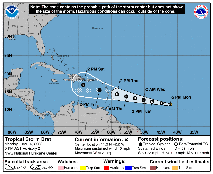
Got up to 87 today after a low of 61, and overall, a fairly nice day. I saw that TS Bret has formed out in the central Atlantic, so that might be the end of month rain producer depending on the final track of it and/or its remnants. Currently mostly cloudy as the sun sets, and 74 with dp 60.
-
-
Hmmm.... Went to go look at MBY and I got 1.67" Monday (6/12), 0.07 on Wednesday (6/14), and 0.61" on Friday (6/16) for a total of 2.35" this past week, almost 8 times as much as I got all of last month! As an obs - I hit 76 for a high yesterday and bottomed out at 56 for a low this morning. Currently partly sunny with peaks of sun and 77, with dp 57.
-
Sun is out and the temp has recovered to 69 with dp 62, so a bit juicy out there.
-
Back edge has come through here and I picked up 0.61" for the event so far. Temp is currently 61 with dp 60.


