Hurricane Agnes
-
Posts
9,343 -
Joined
Content Type
Profiles
Blogs
Forums
American Weather
Media Demo
Store
Gallery
Everything posted by Hurricane Agnes
-
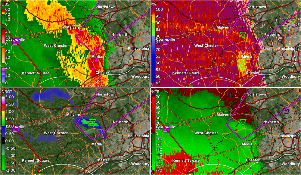
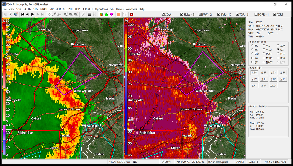
TOR over my area.
-
Picking up the convection from it.
-
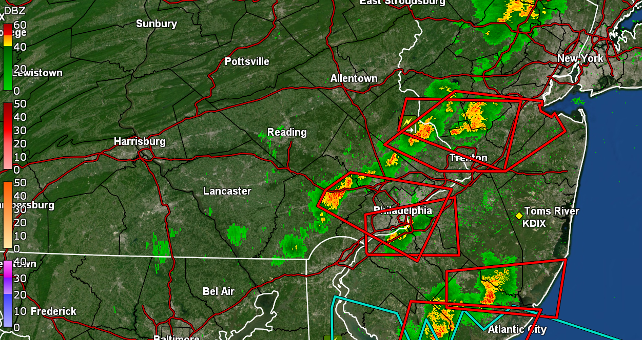
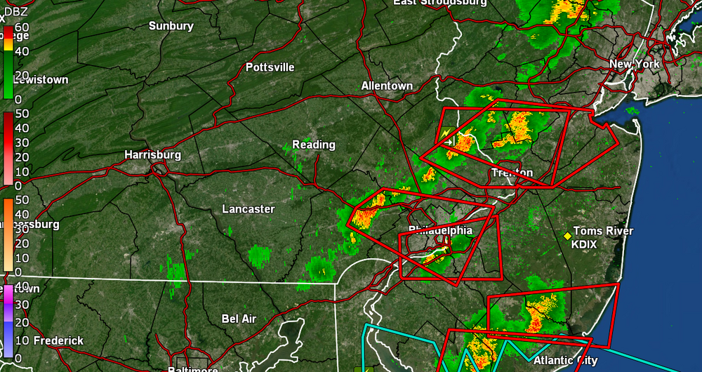
Are you missing all the posts above you? STS up all over the place.
-
-
Ray's work -
-
Yeah I saw that down there. It would cut through Delco first... TOR just lofted for parts of Chester County. Currently overcast and 82 with dp 76 here in MW Philly.

-
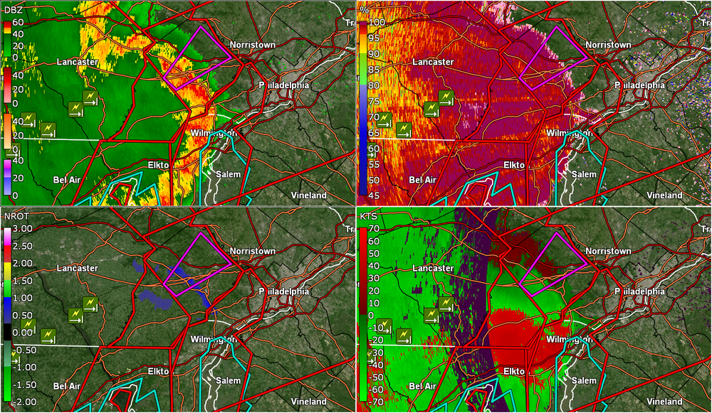
Here we go -
-
The pulsing sun here has pumped the temp and humidity here up to 86 so far as a hugh today and it's currently changeable skies and 86 with dp 77 (and sun out).
-
I had some sun for a few minutes right after my last post and it self-destructed fairly quickly. I think it is trying though. There is a low off the coast of NC and a high to the NE of that across from ME, and that combo seems to be advecting easterly winds and ocean stuff over this area (at least up where I am NW of downtown). Currently overcast and 79 with dp 75.
-
At least here in Philly, that's if the sun comes out. It's still overcast and in the 70s (at least where I am in NW Philly). I finished up with 0.67" from that overnight/early morning round and it's currently a steamy 74 with dp 72.
-
Got a good soaking overnight with round 1 starting after midnight and still going lightly at post time, although that appears to be leftovers. Currently have 0.64" in the bucket and it's a steamy-window 69 with dp 69.
-
SWDY2 got a bit of my attention. Ended up hitting 85 yesterday after a low of 68, and have so far had a high of 88 today after a low of 66. Had hoped the dps would be a bit lower but they only got down to around the mid-60s before creeping back up again. Currently changeable skies and 88 with dp 69.
-
The temps have been extra warm this year and so far, not much to churn the lower levels of the ocean up to the surface to mix it out. Will have to see what happens in fall. Bottomed out at 63 yesterday and had a high of 82, and the humidity was definitely noticeable. The overcast that advected in were noticeable as it was raining south of the metro area down in MD & DE. Currently an overcast 69 with what looks like some low stratus around, and dp 66.
-
The fly in that ointment is that the Atlantic ocean SSTs are probably near record highs so unless you get a phase with a PV that pushes down this far, it'll be nor'easters and/or late/home-grown TCs (forming away from/north of the stj shearing - note that current disturbances have been getting sheared apart so far, with one that had even hit a 70% chance at becoming a PTC at some point a few days ago, that got knocked back down to 10% as of this morning). So far have bottomed out at 60 this morning and the dp has finally plummeted down into the low 50s. Currently 61 with dp 53.
-
Bottomed out at 64 this morning, a wee bit warmer than yesterday morning and only made it to 81 for a high. Possibly one more nice summer day before the humidity returns. Currently 68 with dp 55. LOL Will be interesting how it will go with the El Nino, where the strength of it definitely might have some impacts.
-
Had my lowest "low" of the month on this last day of it, with a 61. My high actually made it up to 85 after reluctantly creeping up to it. Definitely another fantastic summer day without the humidity. Currently partly sunny and 79 with dp 58. Hope not. My outdoor PM2.5 meter has been registering low (green) today (at least so far) although the sky is a bit hazy. Could be that if there is smoke advecting out of Canada to here, it's way up high.
-
Made it up to 91 for a high yesterday before the front came through, making for my 3rd 90+ in a row, and 12th 90+ day for the month and season so far. Final rain tally was a somewhat sparse 0.13. Total rain for July has been 6.88" to date. Bottomed out at 64 (coolest low for the month so far) and it's currently a mostly sunny 76 with no steamy windows, a lot of blue sky, a few small cumulus clouds, and a dp below 60 for a change, at 59.
-
Glad you finally cashed in. I know you had been getting missed. Partly sunny with temp here down to 76 and dp 74.
-
Getting my quick-hitter rain. Currently have 0.12", with 0.09 from it as the line has been barreling through with the sun out on the other side. Temp down to 78 with dp 75. ETA - and double rainbow visible.

-
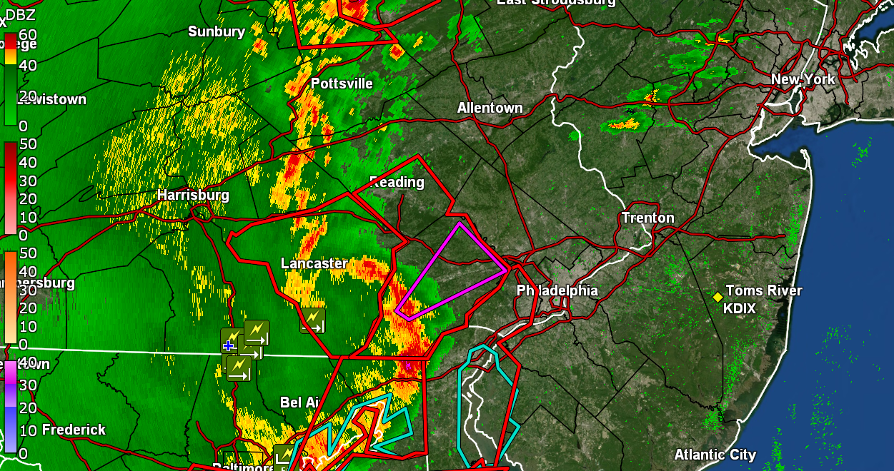
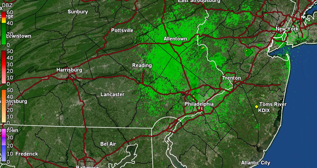
Junk 'n stuff heading this way. Was looking at the radar as a Warning popped up and in came the radio alert. Currently 84 with dp 76 and some convection being picked up nearby.
-
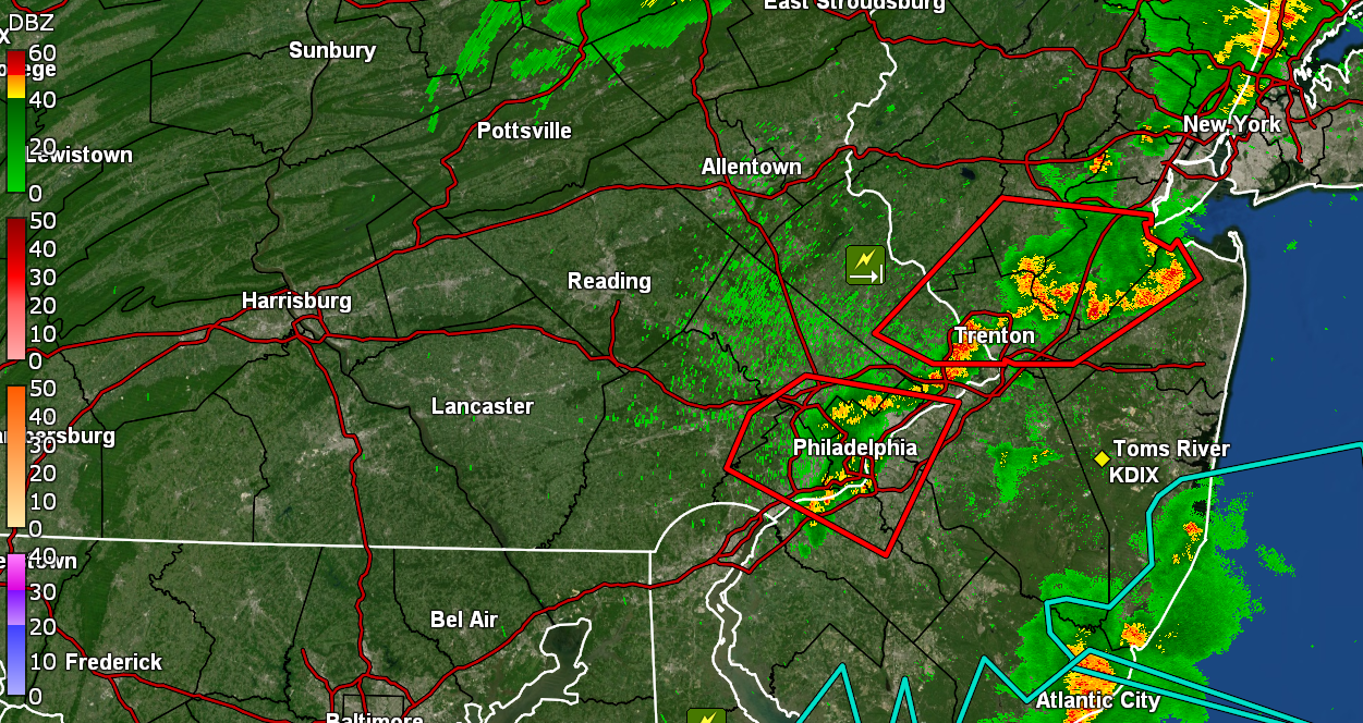
And the STSs are up -
-
And the little shower came and went. All clear, sun out, and temp now up to 75 with dp 74 & 0.03" final in the bucket for this round (0.33" 2-day total).
-
Looks like I bottomed out at 72 earlier and am now getting some light rain. Have 0.03" in the bucket at post time. Temp is 74 with dp 73.
-
When all was said and done, I finished up with a total of 0.30" that was done by midnight. Currently 73 with dp 72
-
Well this round had an incredible light show (still going) but the radar had more bark than bite and I ended up with 0.12" in the bucket. However I'll take it. Temp down to 75 with dp 74. ETA - as soon as I posted, some of the darker greens started moving in and I'm getting a little light rain. Picked up another hundredth ad am at 0.13". I could use some more of that just cool the plants down.