Hurricane Agnes
-
Posts
9,343 -
Joined
Content Type
Profiles
Blogs
Forums
American Weather
Media Demo
Store
Gallery
Everything posted by Hurricane Agnes
-
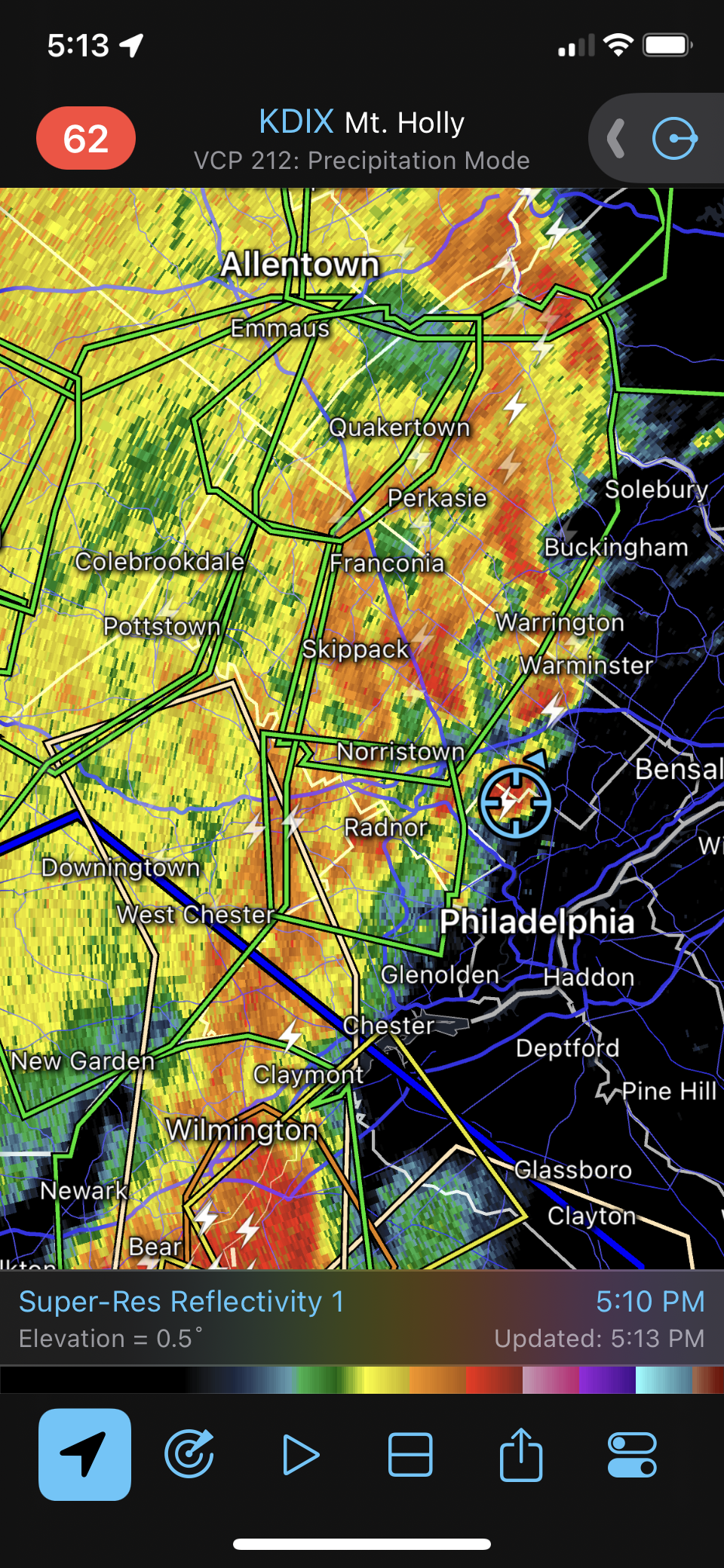
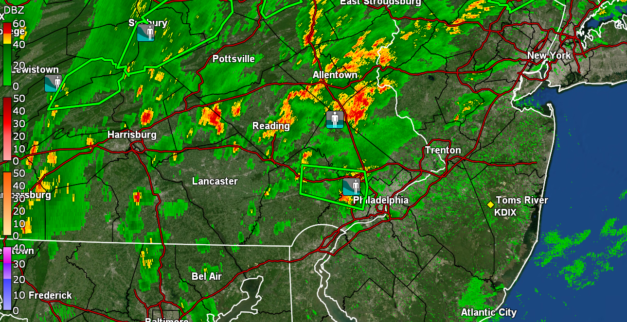
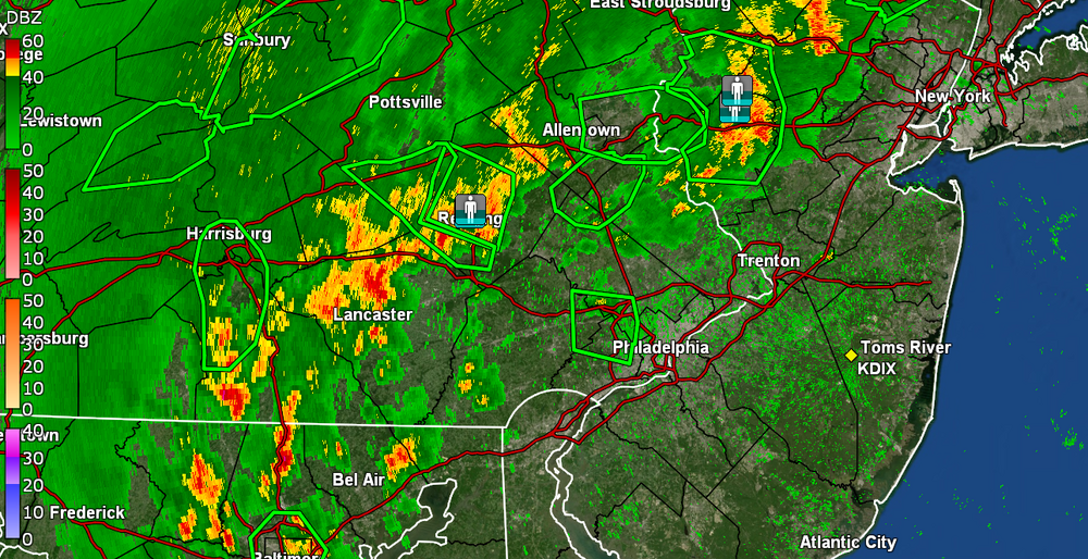
As soon as that complex consolidated in a line, it seems the storm motion accelerated and the line of storm clusters has picked up some speed. Current almost 2"/hr rates still and have 1.21" in the bucket for the day so far. Temp 68 dp 67.
-
City now under a FFW. Am under heavier returns and getting >2"/hr rates. Now at 0.70" in the bucket. Temp 69 with dp 68. Lots of convection around.
-
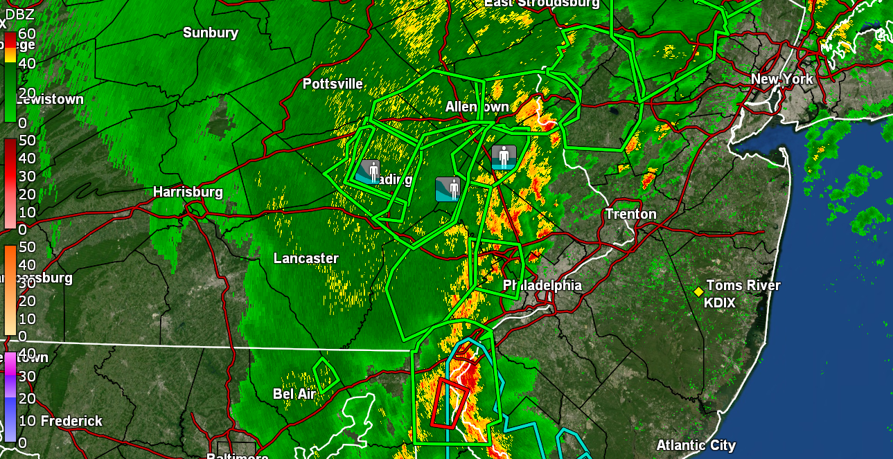
For the Radarscope fans (right on my doorstep). Now up to 0.24" for the day.
-
Cell is blowing up. Getting steamy windows and >1"/hr rates. Have 0.19" so far.
-
Night fell. Getting 1/2" per hr rain. Temp 77, dp 73.

-
A tiny cell just formed right near me. Am getting some rain again. I see it on the walk but it's not measurable yet as it just started up. Temp is 79 and dp 74.
-
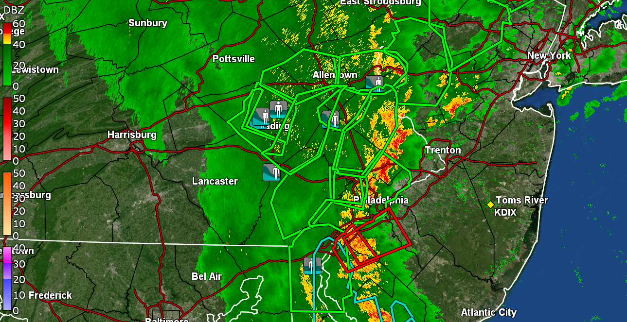
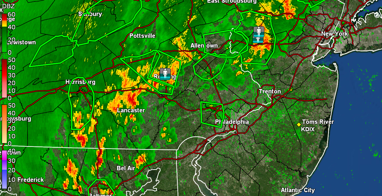
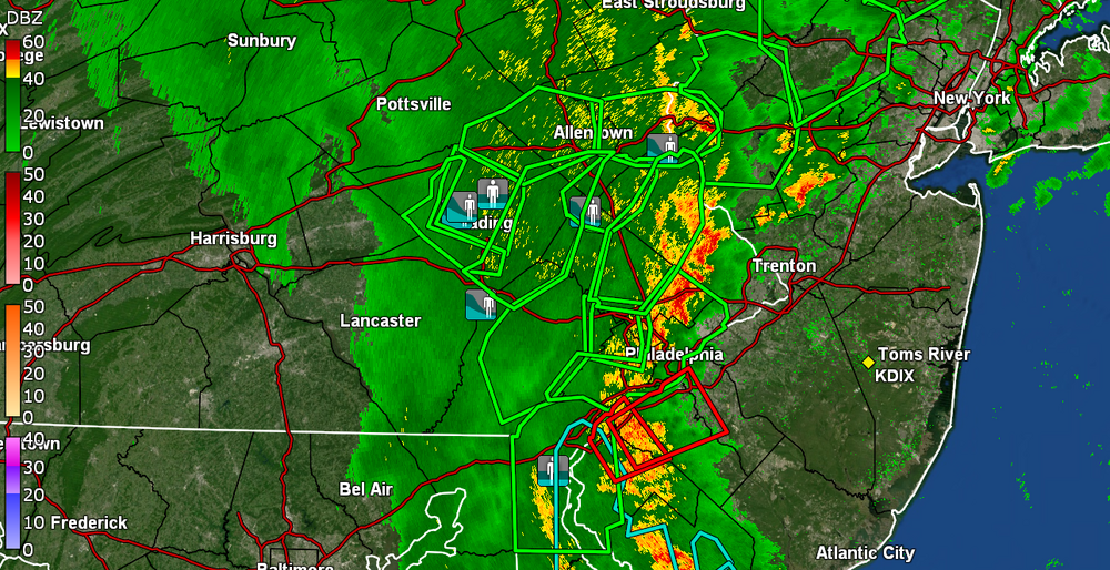
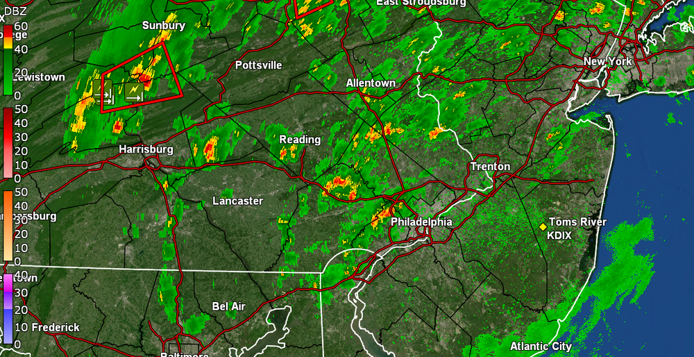
NBC10's Justin Godynick just reporting on KYW that parts of Berks have reported upwards of 10" of rain! That's Floyd territory.
-
Looks like the discrete cells are organizing into a line. Meanwhile, the sun has come out here (although is going in and out in general) and temp is up to 83 with dp 74. Still sitting with 0.01" from a sideswipe earlier this morning (0.78" over the past 2 days) but if that line holds, yikes.
-
Ugh. Hope it moves out of there and starts to drain before you have to go... Have been watching that moving up from the south. KYW had NIBC 10's Justin Godynick on who mentioned that so far, there was nothing in Jersey but it was coming as the complex slowly moves east.

-
Which Newark? There are 2 of them in 2 different states (and pronounced differently to boot) in or near the CWA! And yeah, if that doesn't break up and move on, you also may end up with trees uprooting and falling on wires - even if there was not much wind. I noticed the motion had started west -> east earlier but then started going south -> north, but it keeps back-building over the Reading area.
-
I was wondering where you were. Like 2/3rds of Berks has been under that. I'm currently at 81 with dp 75 and overcast. Most of the stuff has stayed west of here.
-
That's not far from where the Schuylkill flows into Montco. Doesn't take much for that area to flood out from the river, let alone the heavy rain.
-
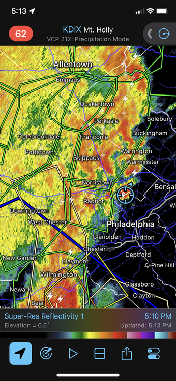
I just updated the post to note they literally just issued a FFW for up there right after I posted.
-
All of northern Bucks is under the gun. EDIT - FFW just issued for your area right after I posted.
-
Now getting some light rain with 0.01" recorded so far. Also getting the thunder as the stuff begins to build up. Temp 78 with dp 76. Had popped out and it was steamy although not as bad as it was yesterday (at least yet).
-
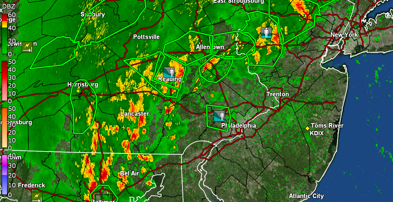
Norman up with the Watches - I bottomed out at 71 earlier this morning and have so far had a high of 81. Since it has been mostly overcast, the temps have been fluctuating and am currently at 79 with dp 76. Stuff bubbling up nearby.
-
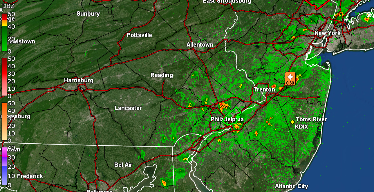
So far with the round 1 and a wrap-around round 2, I got 0.77" of rain today. I saw where Mt. Holly had a Climatology section showing some of the rainfall records for tomorrow, am guessing because those might be challenged - I heard on KYW's traffic report earlier that Delaware Ave. near Spring Garden was completely under water. i know part of that stretch tends to have a little flooding at high tide (in fact I think one small section of it is actually below sea level), and particularly when it's around the time of a full or new moon, so it doesn't take much down there. Currently an overcast steam bath and 71 with dp 70.
-
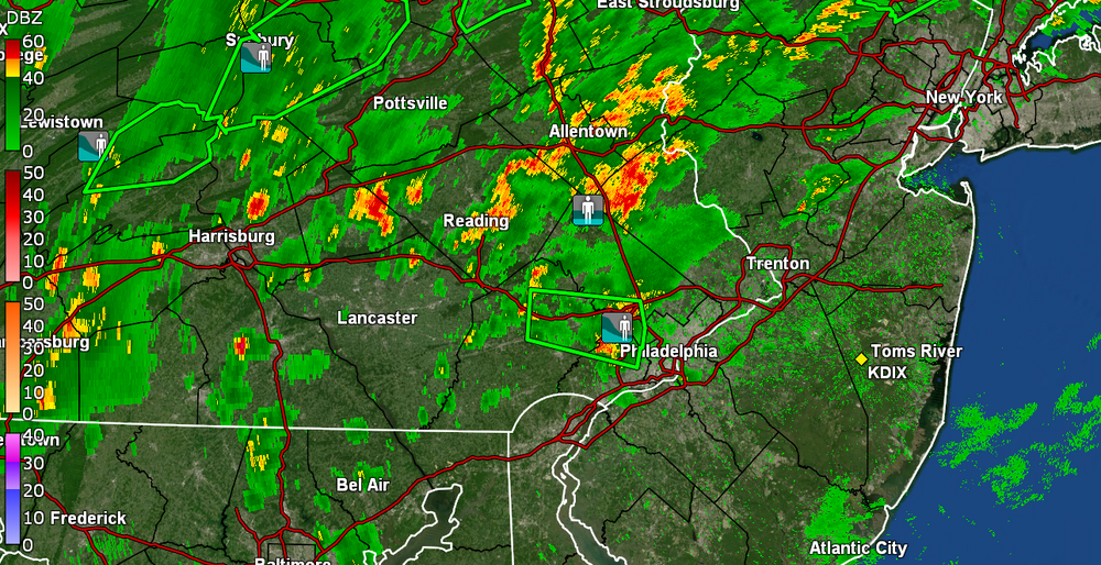
Getting some round 2 fringing. Big blob to my south has been undulating. Currently getting light rain with 0.69" in the bucket, temp 77 and dp 75.
-
The pop-up final total (for now) was 0.66" (on top of my hose watering...lol). I'll take it. Currently overcast with sun in and out and 73 with dp 72.
-
Now almost 2"/hr rates but as it pulls away the sun is out. Looking for a rainbow where it *should be* and not there. It's a damn steamy tropical rainforest out there in any case with temp 75 and dp 73 & 0.66" in the bucket so far.
-
Now getting a gully washer w/1.5"/hr rates. So far have 0.40" in the bucket. Temp down to 75 with dp 73. Lots of convection around.

-
And right on cue. Couldn't buy a rain drop until I pulled out the hose and watered. Day 12 and finally getting a pop-up. Have 0.06" in the bucket as an edit and temp down to 80 with a thunderstorm.

-
LOL I caved and left it down and then pulled out the hose and watered. Then I saw there was a flood advisory up (looks like it may be for that cell in lower NE Philly). Luckily the sun has been mostly obscured today and so far the temp has held just under 90 for a high (so far) with an 89. Currently overcast and 87 with dp 75.
-
There weren't any PNS reports for Exton from yesterday but there was a "Flash Flood" report in the LSR for there - Maybe someone estimated and reported the water on the road? In any case, am currently at my "low" for the day (so far) of 74, with a high deck of cirrus, and dp 73. Got zippo for rain the past couple days and now on day 11 of being rain-less.
-
At least you got something. I'm still bone dry. Temp up to 83 with dp 74. The 90 ended up being my high for the day.