Hurricane Agnes
-
Posts
9,264 -
Joined
Content Type
Profiles
Blogs
Forums
American Weather
Media Demo
Store
Gallery
Everything posted by Hurricane Agnes
-
E PA/NJ/ DE Winter 2021-22 OBS Thread
Hurricane Agnes replied to JTA66's topic in Philadelphia Region
Looks like my "high" of 44 will have occurred at midnight and I am currently at 38 with dp 37 and some light rain. Currently have 0.25" in the bucket. -
E PA/NJ/ DE Winter 2021-22 OBS Thread
Hurricane Agnes replied to JTA66's topic in Philadelphia Region
Looks like I made it to 48 today and yup, Mt.Holly got bullish and lofted the WWA (Mike). Currently 47 and partly cloudy with dp 29. -
E PA/NJ/ DE Winter 2021-22 OBS Thread
Hurricane Agnes replied to JTA66's topic in Philadelphia Region
Bottomed out at 25 earlier and it's now partly cloudy and up to 32 with dp 25. -
E PA/NJ/ DE Winter 2021-22 OBS Thread
Hurricane Agnes replied to JTA66's topic in Philadelphia Region
Well with the way the models have gone, we gotta "make a new plan, Stan".
-
E PA/NJ/ DE Winter 2021-22 OBS Thread
Hurricane Agnes replied to JTA66's topic in Philadelphia Region
Yup... Got to come up with "50 ways to leave your models" (yeah that is corny and deserves a weenie tag ). My temp has dropped below freezing now and am at 30 with dp 20. -
E PA/NJ/ DE Winter 2021-22 OBS Thread
Hurricane Agnes replied to JTA66's topic in Philadelphia Region
Considering that many of us have nothing on the ground, the long range models have been showing systems slip sliding away, and then there is this part in the tweet (with an exclamation point) - I'd say that is a booster for the folks in this subforum. -
E PA/NJ/ DE Winter 2021-22 OBS Thread
Hurricane Agnes replied to JTA66's topic in Philadelphia Region
Mt. Holly is bullish on the "sneaky system" for Thursday! -
E PA/NJ/ DE Winter 2021-22 OBS Thread
Hurricane Agnes replied to JTA66's topic in Philadelphia Region
Actually made it up to 38 today and it was definitely a breezy and "unsettled" day for sure. Currently 36 and mostly cloudy with breaks of sunhere and there and a dp of 20.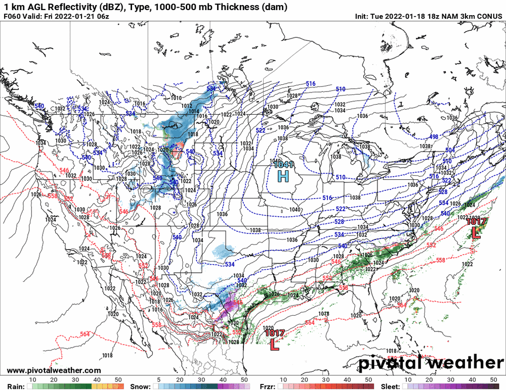
-
E PA/NJ/ DE Winter 2021-22 OBS Thread
Hurricane Agnes replied to JTA66's topic in Philadelphia Region
There are streamers (am guess some Lake effect) that have been blasting across PA all day so far. I haven't actually gone out to look for any mini squalls but I know there have been periods where the sky has darkened enough to turn on the lights that operate on sensors. It's currently 38 here with dp down to 21. There is also a water main break in my area that they are repairing (I guess with the frigid temps it was expected), so I have no water at the moment. -
E PA/NJ/ DE Winter 2021-22 OBS Thread
Hurricane Agnes replied to JTA66's topic in Philadelphia Region
The Ukie has that 2nd one though (I blame you for me doing this, but then that's how I learn).
-
E PA/NJ/ DE Winter 2021-22 OBS Thread
Hurricane Agnes replied to JTA66's topic in Philadelphia Region
Just a bit...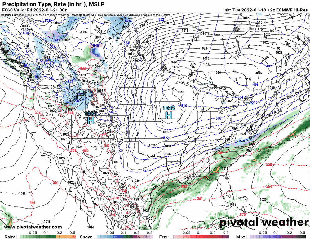
-
E PA/NJ/ DE Winter 2021-22 OBS Thread
Hurricane Agnes replied to JTA66's topic in Philadelphia Region
(don't mind me, I'm just the backoffice staff )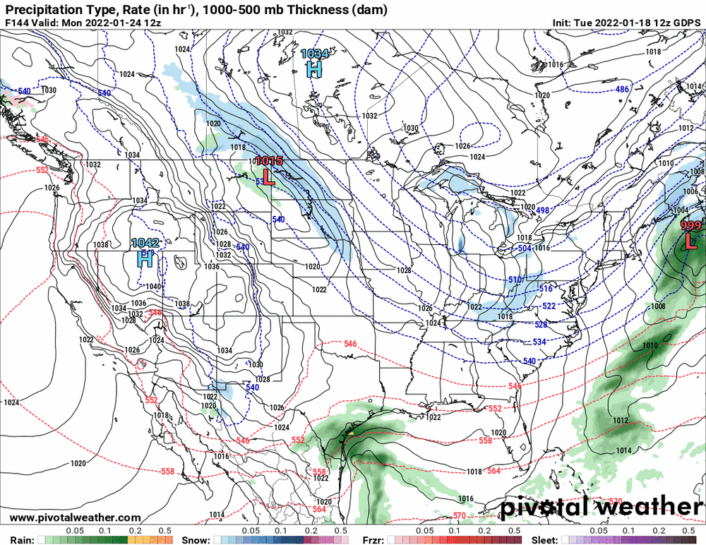
-
E PA/NJ/ DE Winter 2021-22 OBS Thread
Hurricane Agnes replied to JTA66's topic in Philadelphia Region
Well it certainly moves up further north. But the precursor storm might suck the living daylights out of the atmosphere too. -
E PA/NJ/ DE Winter 2021-22 OBS Thread
Hurricane Agnes replied to JTA66's topic in Philadelphia Region
The double swing and a miss.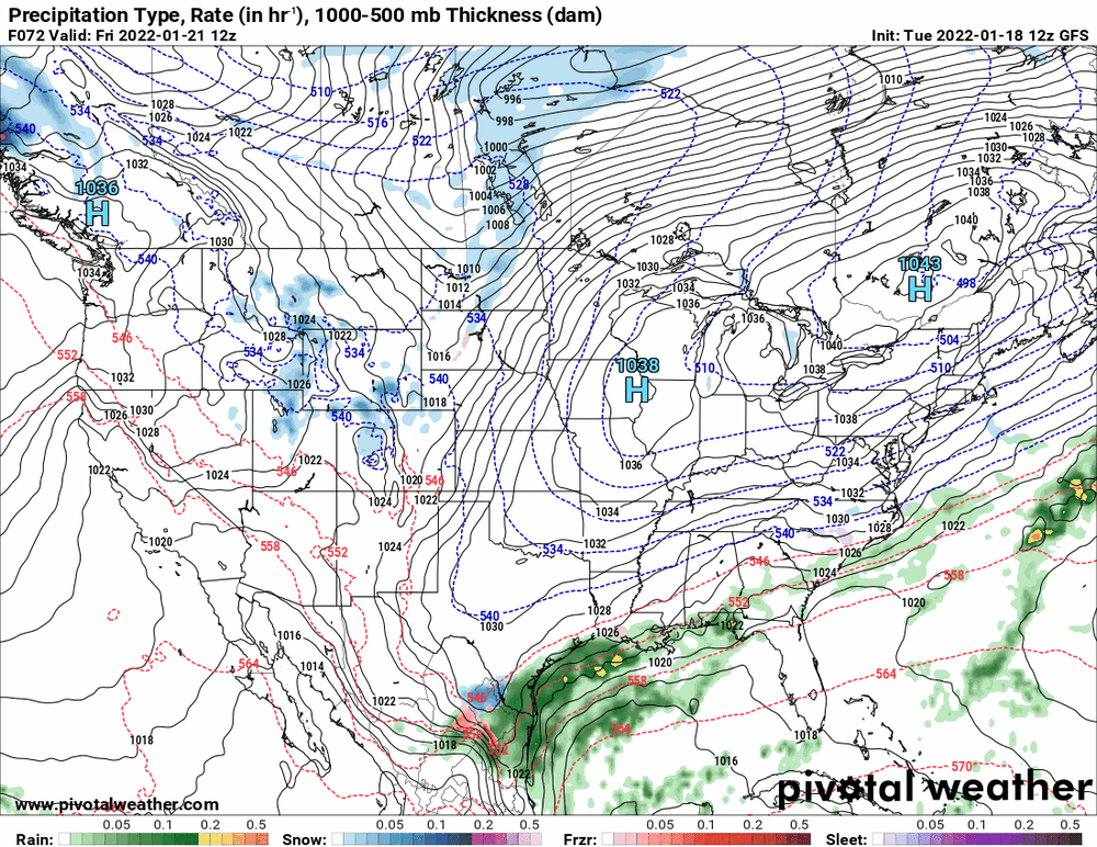
-
E PA/NJ/ DE Winter 2021-22 OBS Thread
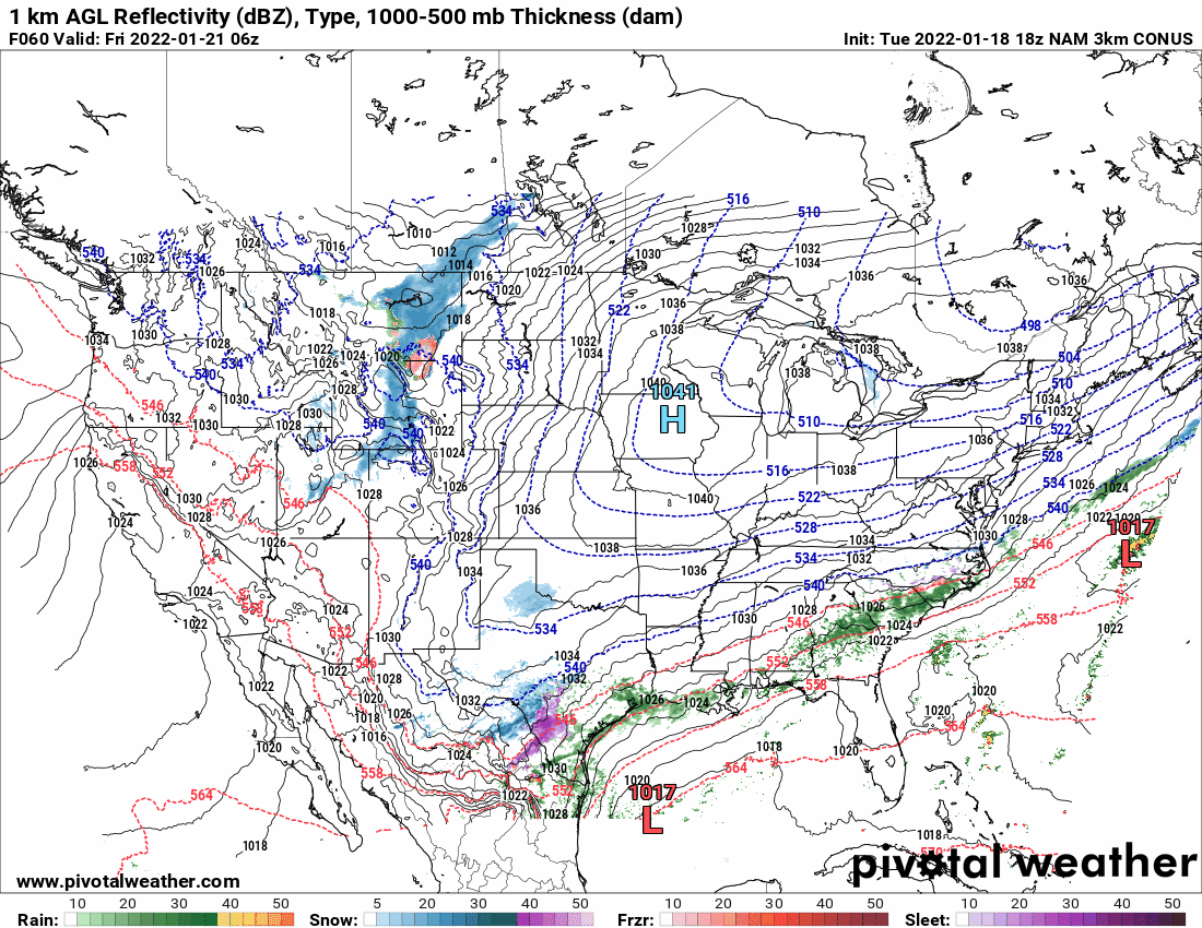
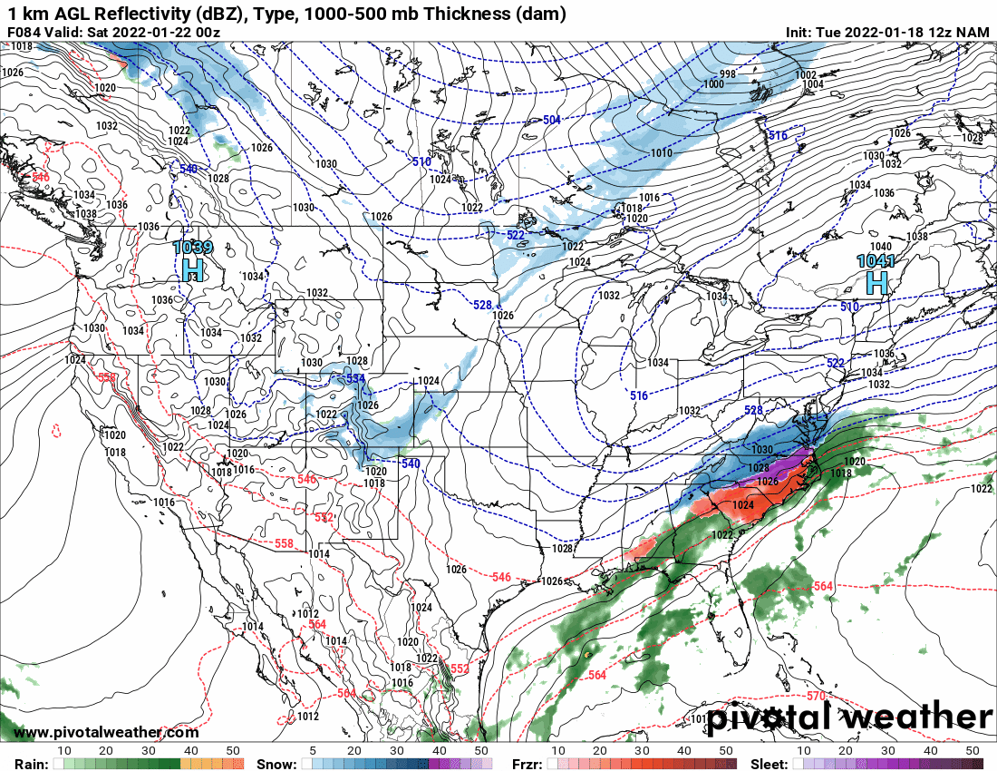
Hurricane Agnes replied to JTA66's topic in Philadelphia Region
12z NAM has this in its last frame (just coming into range).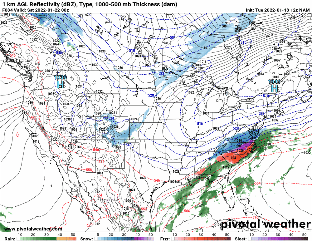
-
E PA/NJ/ DE Winter 2021-22 OBS Thread
Hurricane Agnes replied to JTA66's topic in Philadelphia Region
And Mt. Holly mentioned the LE streamers - -
E PA/NJ/ DE Winter 2021-22 OBS Thread
Hurricane Agnes replied to JTA66's topic in Philadelphia Region
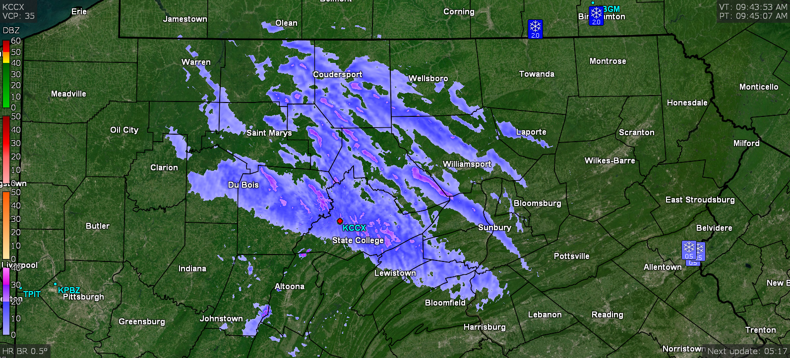
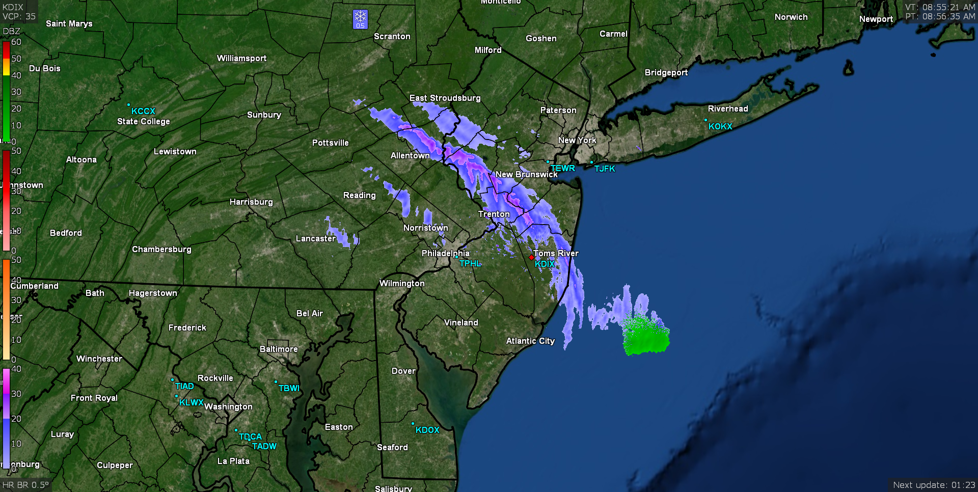
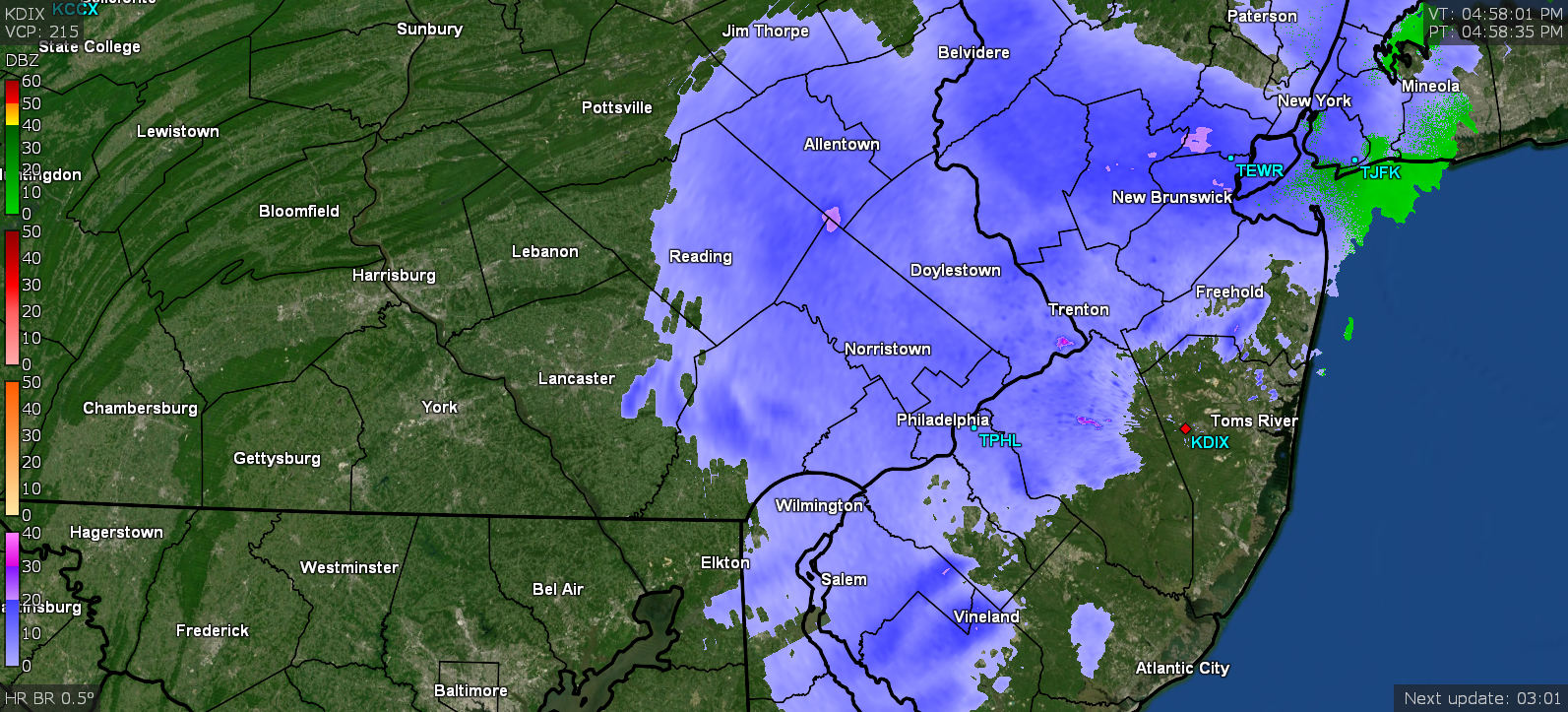
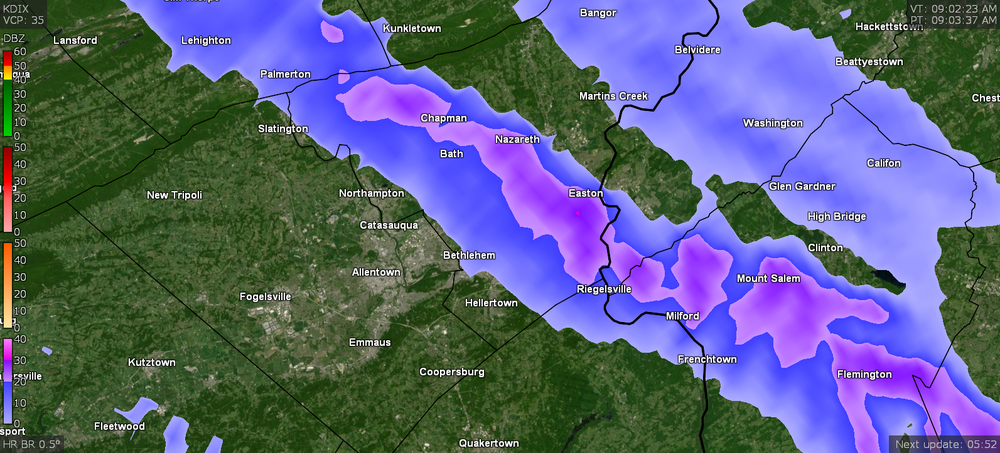
Someone in "SE Nazareth" reported 0.60". Those streamers probably operate like plumes of smoke where there will be breaks in the flow dependent on the strength of the wind and then when the wind shifts direction slightly, obviously the streamer shifts with it. It always cracks me up when some of those streamers manage to make it all the way down here to Philly, sometimes creating a brief flizzard. I'll look on the radar at amazement that it made it all the way diagonally across the state like that. Edit to add KCCX's view of it.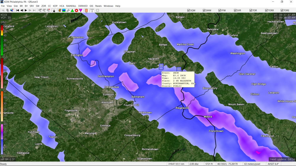

-
E PA/NJ/ DE Winter 2021-22 OBS Thread
Hurricane Agnes replied to JTA66's topic in Philadelphia Region
Yeah - there is apparently a broad lake-effect batch of precip in the middle of the state too. The below is the streamer that has been sitting over you!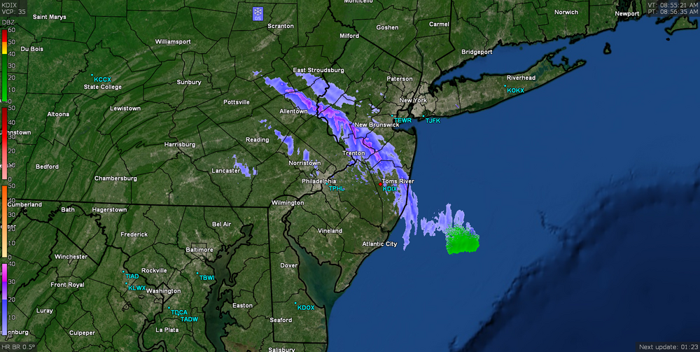
-
E PA/NJ/ DE Winter 2021-22 OBS Thread
Hurricane Agnes replied to JTA66's topic in Philadelphia Region
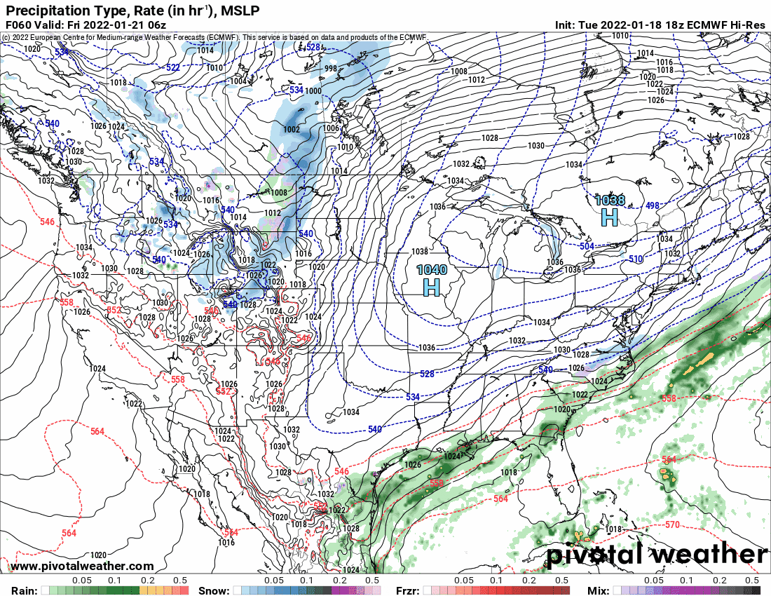
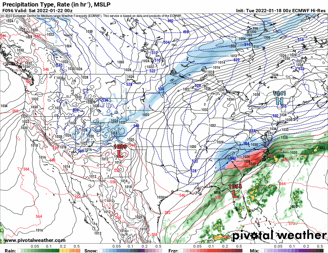
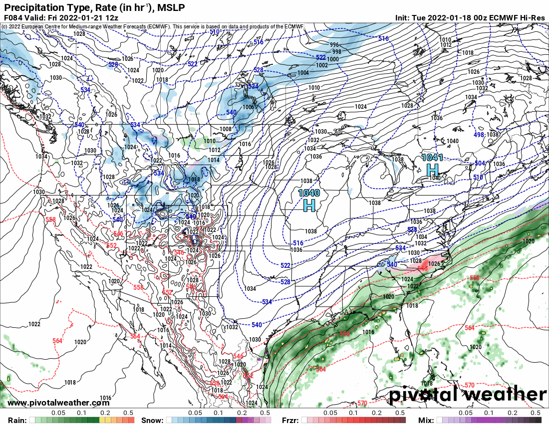
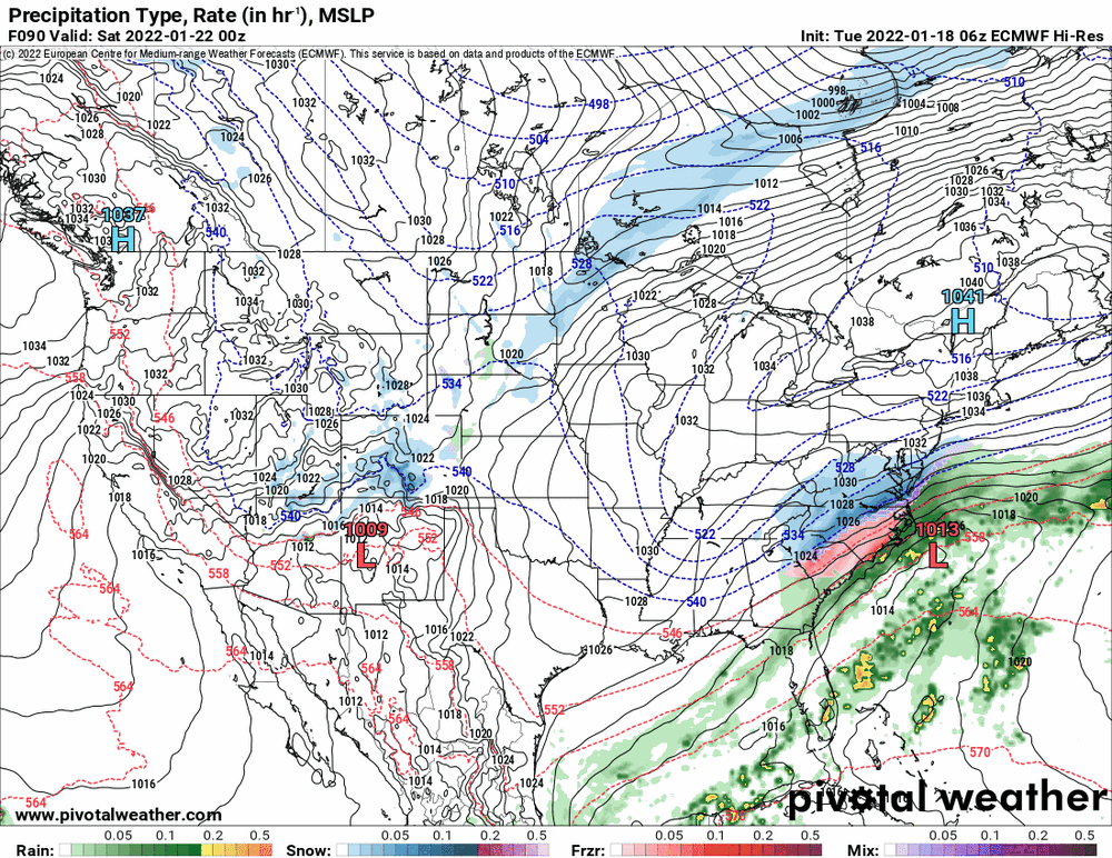
Here is what the Euro did between the 0z and 6z (for the same time frame using the 6z's last frame) -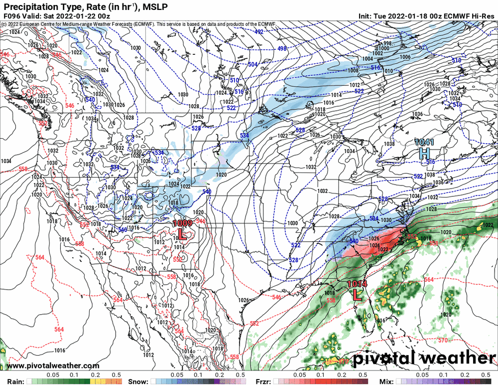
-
E PA/NJ/ DE Winter 2021-22 OBS Thread
Hurricane Agnes replied to JTA66's topic in Philadelphia Region
Bottomed out at 30 just after 1:30 this morning and have been slowly on the upswing, where it is currently partly cloudy and 33 with dp 22. -
E PA/NJ/ DE Winter 2021-22 OBS Thread
Hurricane Agnes replied to JTA66's topic in Philadelphia Region
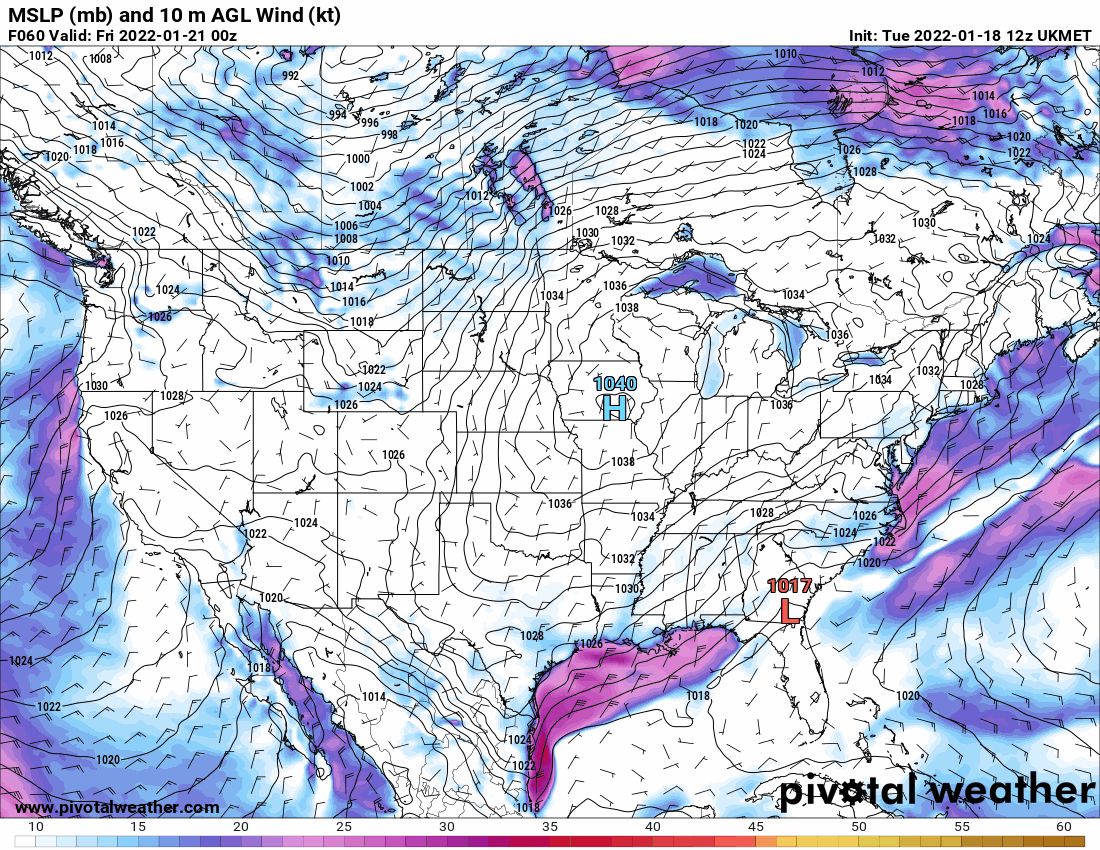
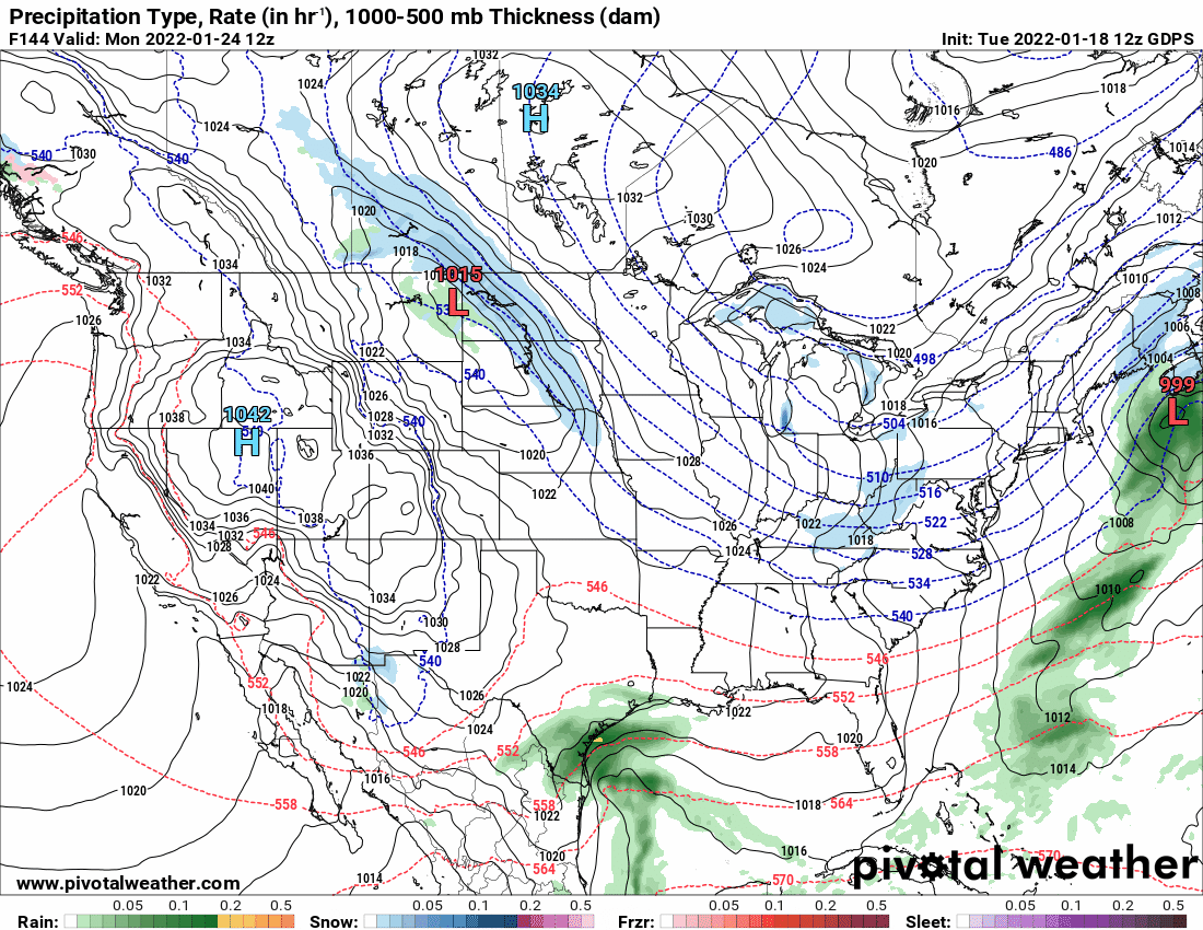
Models all over the map wrt to what is going on over the MW. The Canadian seems to be similar to the GFS except it forms the low off the coast of the Carolinas and then sends it OTS (but brushes the southern part of up here).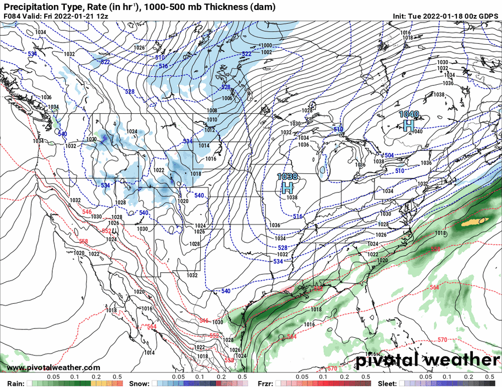
-
E PA/NJ/ DE Winter 2021-22 OBS Thread
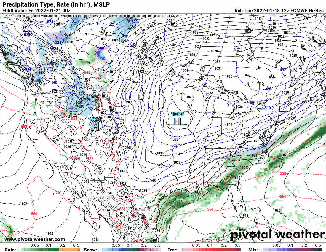
Hurricane Agnes replied to JTA66's topic in Philadelphia Region
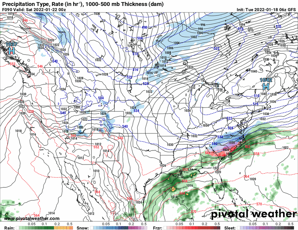
0z Euro wants to make it a Miller A up the coast and the 6z GFS kicks it OTS.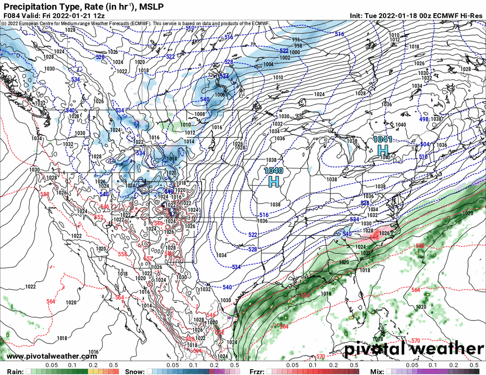
-
E PA/NJ/ DE Winter 2021-22 OBS Thread
Hurricane Agnes replied to JTA66's topic in Philadelphia Region
Here's an interesting stat that NWS State College had tweeted (retweeted by Mt. Holly) - high of 51 at KPHL just after 3 am this morning - And they had the plot of data going back to the airport's operational data from January 1941 to date. I know we have these types of warmups like this in winter ahead of a cold blast but I guess the timing of this one was highly unusual. Also Mt. Holly extended the Wind Advisory to 1 am as apparently D.C. has been getting gusts down that way as the storm pulls away and a high to the SW builds in, with that gradient apparently shifting this way. Currently on and off snow showers and I actually have a dusting on some of the colder surfaces (grass and some car tops) and 35 with dp 26.
-
E PA/NJ/ DE Winter 2021-22 OBS Thread
Hurricane Agnes replied to JTA66's topic in Philadelphia Region
Plus I think the all-time low in the city (Philly) is -11F in 1934. I blame you guys for me doing this... Edit to add that the Euro would get close to the GFS IF those listed temps were (accidentally) generated/reported in C vs F.
-
E PA/NJ/ DE Winter 2021-22 OBS Thread
Hurricane Agnes replied to JTA66's topic in Philadelphia Region
I kept my humidifiers on overnight (LR/DR/BR) but have them set to cycle on/off to aim them for getting it to a certain (approximate) % humidity in the rooms they are in and they did cycle on and off, although even with the rain, it still never got higher than 44% in here with the forced air heat and an average room temp of 70. The dewpoint (which is a temperature to reach saturation) is going to depend on the air temp and it won't go higher than your ambient high temperature (whatever your room temp is). I would agree with Kamu that it could have been a leak since the water was only on the floor and I too have mine sitting on trays (including my bigger 3 gallon one on wheels that sits on a long boot tray thing on the floor). Still overcast with temp 35 dp 28. Luckily it looks like surfaces did dry with the breezes.