
SolidIcewx
-
Posts
1,647 -
Joined
-
Last visited
Content Type
Profiles
Blogs
Forums
American Weather
Media Demo
Store
Gallery
Everything posted by SolidIcewx
-
What a morning read for tomorrow for the MI/IN,OH area. Tomorrow it’s going to be interesting not very often you get a hatched area over this part of the country. Also the fact that there is still room for upgrade in severe probabilities. Last MDT for SE Michigan was a bust on the very east side if I remember correctly
-
A- 90% This winter had its nice share of storms. The Christmas arctic blast to start. Then a series of heavy wet snows along with an ice storm in there to top it off. Honestly made for amazing pictures as stated above. As someone who works outside and with the trees I took it all it and enjoyed it as much as I could. Having cakes trees multiple times was a nice different touch as well. Finally the last factor for my rating is since I’m outside a lot the mild weather has made it more effective of me to get more of my work done. It is a shame we could not keep a snow pack but the warmer temps made it more enjoyable also.
-
Ice on top of what you have is definitely going to be a nuisance. Hopefully the power lines up there are not too far from the roads so crews can restore power if needed
-
Temps going into the Mid 70s now north of DTW where I live. Hump day looks to be a thump day
-
Temps are falling like a rock. Went from 54-44 the last hour imby. Curious to see what my rain gauge says
-
What would the statistics be for March starting out like a lion and going out like a lion too for this area? A fun question persay
-
I woke up to these storm I’m pleasantly surprised. Storms last night and this morning it’s getting a real spring feel
-
Nice band developed right overhead
-
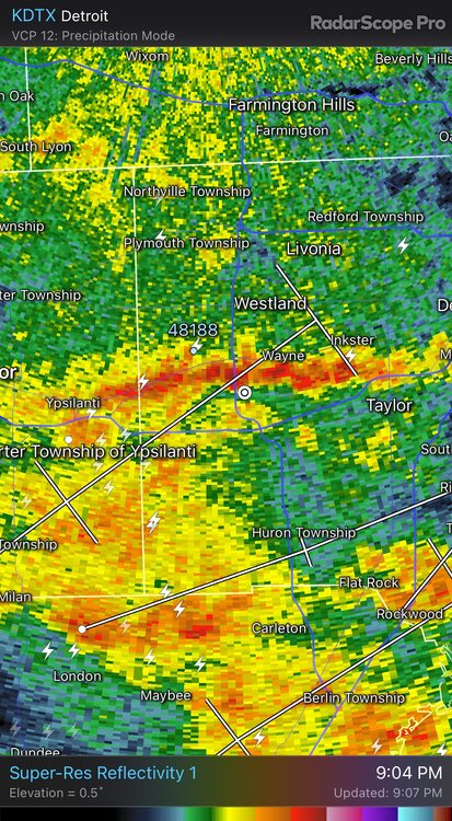
56/52 imby with a damn good light show. Quite the dynamics even over here can only imagine what it’s like out west
-
That’s the one on track to possibly go over me
-
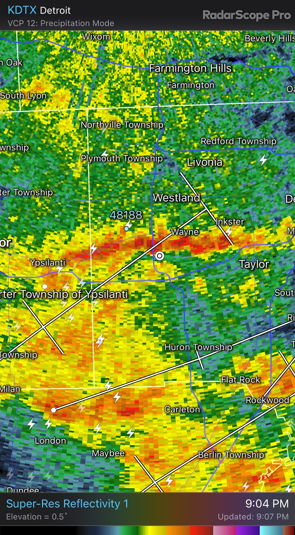
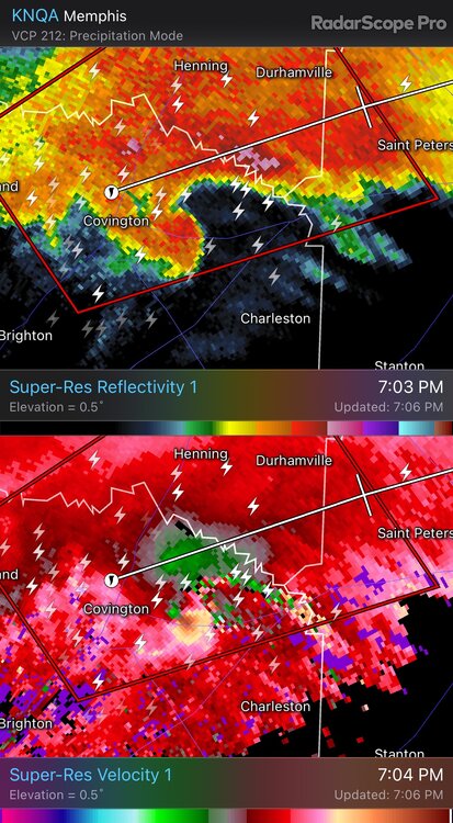
Nice line of storms moving NE into the Detroit metro area. Lenawee county under SVTN warning
-
-
Hot damn even slight and marginal risks extend even farther east edit: slight risk all the way into the DTW area I’m very impressed
-
Wouldn’t the warmer temp profiles and dews in the 70s make this setup even more prolific if that were to occur?
-
Now imagine if this was May/June
-
Very active will be nice if it hold thru spring into early summer. Severe season going off with a bang
-
Great Lakes Derecho coming near you June 2023
-
A neat observation. 42 In Rockwood MI with snow flakes mixing in and occasionally brief waves of slightly heavier snowfall
-

Spring 2023 Medium/Long Range Discussion
SolidIcewx replied to Chicago Storm's topic in Lakes/Ohio Valley
That’s what you call a strip tease -
2023 Short/Medium Range Severe Weather Discussion
SolidIcewx replied to Chicago Storm's topic in Lakes/Ohio Valley
I’ll take some of those leftover thunder boomers. The thunder snow and ice we got by me this winter makes excited. I’ll split it down the middle with the snow weenies and hope for more thunder snow -
As we reach solar maximum the chances are a lot better. It’s been really active so far so I’m sure there will be a few more chances
-
March 24-25 Palm Killer (Snow Event)
SolidIcewx replied to hardypalmguy's topic in Lakes/Ohio Valley
I believe it the winds are screaming right now and I’m only a few miles to the NW of DTW. I’m glad the tree company Davy trimmed the power lines in my area that was planned for maintenance. The winds were blowing my suv around like a tin can -
March 24-25 Palm Killer (Snow Event)
SolidIcewx replied to hardypalmguy's topic in Lakes/Ohio Valley
Winds are absolutely screaming here in the DTW area -
March 24-25 Palm Killer (Snow Event)
SolidIcewx replied to hardypalmguy's topic in Lakes/Ohio Valley
All I gotta say is hot damn -
March 24-25 Palm Killer (Snow Event)
SolidIcewx replied to hardypalmguy's topic in Lakes/Ohio Valley
I wonder what the ratios were. Hard to believe 20 inches fell without all that compaction that happens. One impressive storm none the less. The core is going over me now and kinda crazy the wind gusts came on fast in a matter of 20 mins or so