Mount Joy Snowman
-
Posts
4,966 -
Joined
-
Last visited
Content Type
Profiles
Blogs
Forums
American Weather
Media Demo
Store
Gallery
Everything posted by Mount Joy Snowman
-

Central PA Spring 2023
Mount Joy Snowman replied to Itstrainingtime's topic in Upstate New York/Pennsylvania
No sign of frost anywhere until I went through the low-lying rurals, at which point the temp dropped to 32 and frost was fairly abundant. About to board the train, where a toasty temp of 70 awaits. Mornin’ all. -
Central PA Spring 2023
Mount Joy Snowman replied to Itstrainingtime's topic in Upstate New York/Pennsylvania
Damn. We at least had a shower last night. Only to the tune of a few hundredths but still something. Tough sledding 'round here. -
Central PA Spring 2023
Mount Joy Snowman replied to Itstrainingtime's topic in Upstate New York/Pennsylvania
I forget when it was but I saw that post you made referencing the hard ground and boy howdy you weren't kidding. I did some grass patching on Friday and I couldn't even rake the ground, just dry as a bone and hard as a rock. Not expecting my seed to do much ugh. -
Central PA Spring 2023
Mount Joy Snowman replied to Itstrainingtime's topic in Upstate New York/Pennsylvania
Morning all. Well well well, I see we sit at 58.5 for average monthly temp. I know a guy who may have predicted that last week tehe. I also said to keep an eye out for the max min record falling on saturday and sure enough it went down in a heap. Man, it feels good tooting my own horn on a Monday morning. Hey, the victories don't come often so I'll take 'em haha. I do think it's looking more and more evident that the rest of the month will have enough cool spells that we fall short of the record so I will likely be losing my shekels on that front. And as for rain, not much to speak of around here. We got .12" for the entire weekend. Seems like many of the same places that were the most severely shafted with snow totals are getting screwed in the rain department as well. Not much on the horizon either. In other news, Death Valley and Peter Sinks secured their rightful places atop the throne with the national high and low of 98 and 8, so all is right with the world. -
Central PA Spring 2023
Mount Joy Snowman replied to Itstrainingtime's topic in Upstate New York/Pennsylvania
I’m getting robbed left and right over here, just skimmed with everything. -
Central PA Spring 2023
Mount Joy Snowman replied to Itstrainingtime's topic in Upstate New York/Pennsylvania
Only .09” out this way. Sure hope we get in on some of that storm action that’s out to the west right now. I see one little cell just skirted right by you. -
Central PA Spring 2023
Mount Joy Snowman replied to Itstrainingtime's topic in Upstate New York/Pennsylvania
Once again, highs for today were MDT 86, LNS 85, THV 85, and CXY….91 haha -
Central PA Spring 2023
Mount Joy Snowman replied to Itstrainingtime's topic in Upstate New York/Pennsylvania
Funny you mention….our deck is overrun with wasps right now and my wife and I were commenting on how abundant they seem this year. We cant seem to get rid of them but they also havent been troublesome either. Seem content to keep to themselves. Trouble is we have two youngins that play in that area. -
Central PA Spring 2023
Mount Joy Snowman replied to Itstrainingtime's topic in Upstate New York/Pennsylvania
Yeah I've theorized on this a few times myself, being on the west side of the river and the downsloping off the hills and all, but even so there are times it seems juuuuuust a bit extreme when compared to not only its surrounding areas but virtually anywhere else in the state. Interesting micro scenario nonetheless. -
Central PA Spring 2023
Mount Joy Snowman replied to Itstrainingtime's topic in Upstate New York/Pennsylvania
Maybe you in your little hotbox haha but I doubt anyone else gets all that close. Heck, yesterday there was only one official station in the entire state that hit 90 and that was the notorious CXY. 83 is my point and click for today. -
Central PA Spring 2023
Mount Joy Snowman replied to Itstrainingtime's topic in Upstate New York/Pennsylvania
Looks like MDT briefly clipped 85 yesterday to tie the record. Lancaster and York hit 85 and 84. Of course CXY came in at 92 haha. -
Central PA Spring 2023
Mount Joy Snowman replied to Itstrainingtime's topic in Upstate New York/Pennsylvania
Interestingly enough, MDT still hasn't hit 85 for the day, topping out at 84.2 on a few occasions. Now, it still seems likely to happen and who knows when they do their "conversions" if it stays that way, but man, that would be quite the little upset if that record held on. I'm off to mow, later gents! -
Central PA Spring 2023
Mount Joy Snowman replied to Itstrainingtime's topic in Upstate New York/Pennsylvania
Come Monday, I believe we'll be just beyond that 58.3 number for the top spot. But as you said, we should revert back a bit from there. -
Central PA Spring 2023
Mount Joy Snowman replied to Itstrainingtime's topic in Upstate New York/Pennsylvania
Had the same thoughts, just a skosh in parts of the VT/NY mountains. -
Central PA Spring 2023
Mount Joy Snowman replied to Itstrainingtime's topic in Upstate New York/Pennsylvania
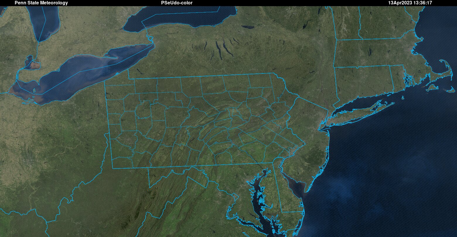
It looks like MDT set a record for highest min temp at 61 yesterday. Keep an eye out for that same record potentially falling Saturday as well. As for highs, we should be able to crack the record of 85 for today but tomorrow's 89 seems out of reach, with a bit more cloud cover being around in the afternoon. My first time seeing Fort Rock, OR come in with the national low, at 7 degrees. High of 96 at a number of locations in Arizona. As for the Northeast, well, satellite pictures don't get much more beautiful than this.....
-
Central PA Spring 2023
Mount Joy Snowman replied to Itstrainingtime's topic in Upstate New York/Pennsylvania
Yeah I've been keeping an eye on things. The models have been waffling a bit given how tight the boundary is for much of the period. Will be interesting to see if the cold is more fleeting or steadfast in nature. Here is CPC's take. Only time will tell. -
Central PA Spring 2023
Mount Joy Snowman replied to Itstrainingtime's topic in Upstate New York/Pennsylvania
Well, I think by next Monday we'll be sitting right around that 58.3 degree mark for hottest April on record. Things get much more uncertain after that but I would say more average-like conditions will tend to prevail, with a couple of cool shots seeming likely as well. All in all, not feeling great about the shekels I laid down for warmest April on record haha, but much still to be determined. I do think a top ten type April is nearly a given at this point. Feeling a touch better about some solid rain chances for this weekend. Carry on. -
Central PA Spring 2023
Mount Joy Snowman replied to Itstrainingtime's topic in Upstate New York/Pennsylvania
For the Altoona Blair County Airport site (POR 5/1/48 to present day), it appears the earliest they've hit 90 was May 3rd, which happened in 2018. -
Central PA Spring 2023
Mount Joy Snowman replied to Itstrainingtime's topic in Upstate New York/Pennsylvania
MDT has never hit 90 prior to April 17th. -
Central PA Spring 2023
Mount Joy Snowman replied to Itstrainingtime's topic in Upstate New York/Pennsylvania
I hit 32 this morning on the car thermo while going through farmland. Record highs for Thu/Fri at MDT are 85/89. Probably a smidge out of reach but maybe not. The best bet may be the max min record of 59 for Saturday. We shall see. Death Valley reclaims its throne with a national high temp of 101, which means summer must be on the way. Low of 10 near Grand Mesa, CO. Outside of the Pacific NW, pretty bone dry across the Lower 48 today. -
Central PA Spring 2023
Mount Joy Snowman replied to Itstrainingtime's topic in Upstate New York/Pennsylvania
You bet! It's the best yard game there is and I will hear no other arguments. I say that as an avid cornholer as well. -
Central PA Spring 2023
Mount Joy Snowman replied to Itstrainingtime's topic in Upstate New York/Pennsylvania
Good morning lads. What a wonderful Easter Sunday it was. Can't draw them up much better than that. My toddler had a great time on some easter egg hunts and the adults got in some lively games of croquet and cornhole. Now we're off to the races with the heat until early next week, at which point it appears it will be muted but we'll see what the extended forecast brings. In any case, high and dry seems to be the theme around here for the foreseeable future. Hope everyone had a great holiday. Onward. -
Central PA Spring 2023
Mount Joy Snowman replied to Itstrainingtime's topic in Upstate New York/Pennsylvania
My big gripe with the "double R" model thus far is the extreme delay between the initialization hour and when the model output is actually released. Currently, the most recent run available is the 6z. I mean, it's 1pm and I can only see out to 8 pm on the most recent run available. Not great. Otherwise, I think it's had a great look in how it's handling convection. -
The Ides of March end of Winter 2023
Mount Joy Snowman replied to paweather's topic in Upstate New York/Pennsylvania
A meager .01" here. Not optimistic on today's chances either, as I fear the line gets going too far east for most of us. After that, who knows when the next rains come. Mowed for the first time yesterday. It was my first springtime mow in over 10 years (came from an HOA who did all mowing). Man, did it feel good but also a pain in the ass with having a fence now. I don't care much for fences but with two dogs and two kids the wife left me no choice. MDT topped out at "only" 79 yesterday. Should be some comfortably cool days ahead after the frontal passage later today. Then the warmup begins. Question is, how long does the ridge dominate before breaking down? That will determine whether we can challenge any monthly records or not. Average temp for the month is up to 56. Onward. -
The Ides of March end of Winter 2023
Mount Joy Snowman replied to paweather's topic in Upstate New York/Pennsylvania
The new King has spoken. All hail the RRFS!