SnowenOutThere
-
Posts
5,651 -
Joined
-
Last visited
Content Type
Profiles
Blogs
Forums
American Weather
Media Demo
Store
Gallery
Everything posted by SnowenOutThere
-

12/14: Sunday funday? Will the south win again?
SnowenOutThere replied to TSSN+'s topic in Mid Atlantic
If I see 1.5 in of snow tomorrow I’ll eat some article of clothing -
Why the hell not, I was all for starting a thread for a random date in winter and gassing it up for no reason
-
12/14: Sunday funday? Will the south win again?
SnowenOutThere replied to TSSN+'s topic in Mid Atlantic
Bro go to bed -
12/12: The little Friday clipper that could? Or won't.
SnowenOutThere replied to dailylurker's topic in Mid Atlantic
I think I may have seen a like singular flake but I may have hallucinated it. This is what happens when I don't start the thread -
12/14: Sunday funday? Will the south win again?
SnowenOutThere replied to TSSN+'s topic in Mid Atlantic
-
Is there any real possibility we manage to get that or is the window closing by 12z tomorrow to get an actual low pressure induced storm instead of our current reliance on favorable dynamics.
-
18z Euro is worse for most as its drier
-
Another classic Charlottesville W
-
GFS is further west and a bit south
-
18z Icon was somehow worse than 12z
-
12/12: The little Friday clipper that could? Or won't.
SnowenOutThere replied to dailylurker's topic in Mid Atlantic
The morning of the 17th most likely... so just in time for the great Xmas torch! -
12/12: The little Friday clipper that could? Or won't.
SnowenOutThere replied to dailylurker's topic in Mid Atlantic
Think 3k Nam sank a bit too far south but 12k NAM is a certified banger. -
How starting the thread is looking to me right now:
-
Definitely interesting with how the precip seems to be driven almost entirely from dynamics without real surface low pressure support. No idea if that means things will go well or not though. If only we managed to get a combined Friday-Sunday phased storm though. Also I've had the hot hand but for Cville South events so not sure you want me to be the guy in charge of this one. Besides, I can't offer too much analysis as I have a final Thursday morning and then a 10 page paper (I haven't started) due Friday midnight.
-
Weatherbell's snowfall maps are being slow right now but I think the 12z Euro should make people happier based on the precip totals 12z 6z
-
Also an extremely strong temp gradient from the 925-700mb levels which contributes to baroclinicity.
-
12/12: The little Friday clipper that could? Or won't.
SnowenOutThere replied to dailylurker's topic in Mid Atlantic
Cvill Jack on the 3k Nam would be insanely funny -
My atmosphere and weather is Thursday morning and y'all might need to keep me in your thoughts after writing out what I need to study.
-
Managed to keep the high under 30 degrees in Charlottesville with intact snow cover. Gotta be a rarity anytime of year and much less December! Took the opportunity to go on a hike of some local trails.
-
Snow town! Went for a walk in the woods this morning and everything looks super pretty with temps staying below 30 today
-
I measures 2.7in on a table, though on grass I was getting 3.5-4in so I’ll average it out to somewhere around 3 inches of snow. Fridays storm technically had a bit higher total but this storms more compact flakes makes it feel more impressive.
-
Walked back to my dorm and it started moderately snowing again with some decent flakes. Was so nice I ended up lying down and taking a jeb hammock nap for 30 minutes! It just wants to snow
-
It is also somehow still snowing here. So far all I can say about the character of this winter is that it just never wants to stop snowing.
-
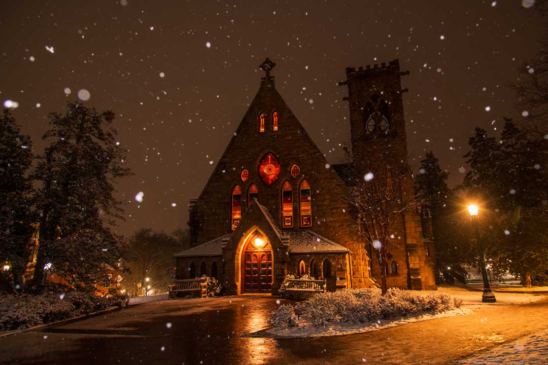
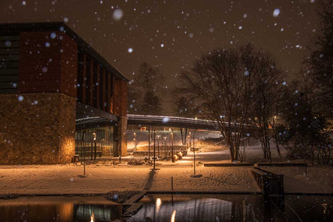
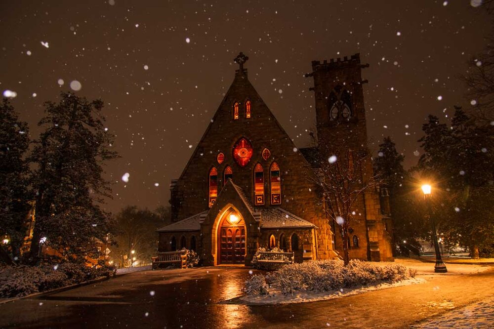
Pictures taken the last nighttime burst of snow. Might be my best yet (or at least my favorites)

- 242 replies
-
- 23
-

-

-
And it’s on Christmas Eve Eve! Might break the Amwx