McHenrySnow
-
Posts
701 -
Joined
-
Last visited
Content Type
Profiles
Blogs
Forums
American Weather
Media Demo
Store
Gallery
Everything posted by McHenrySnow
-
Wasn't it?
-
Yes, severe weather - notoriously easily to predict.
-
RAP (I know) is on board.
-
No.
-
All but the NE 1/4 of WI is under a WWA.
-
WAA thumps can be pretty impressive and full of surprises. I'm really hoping that's what happens here because I know better than to get my hopes up on a system of any sort.
-
Some of you will like the UKie. Honestly, I get the whole vibe, I'm feeling it, too, believe me, but this thing is far from set in stone.
-
3" here. It's pretty out. Disappointing storm and the next looks like a dud, too, but I'm trying to just enjoy what I got.
-
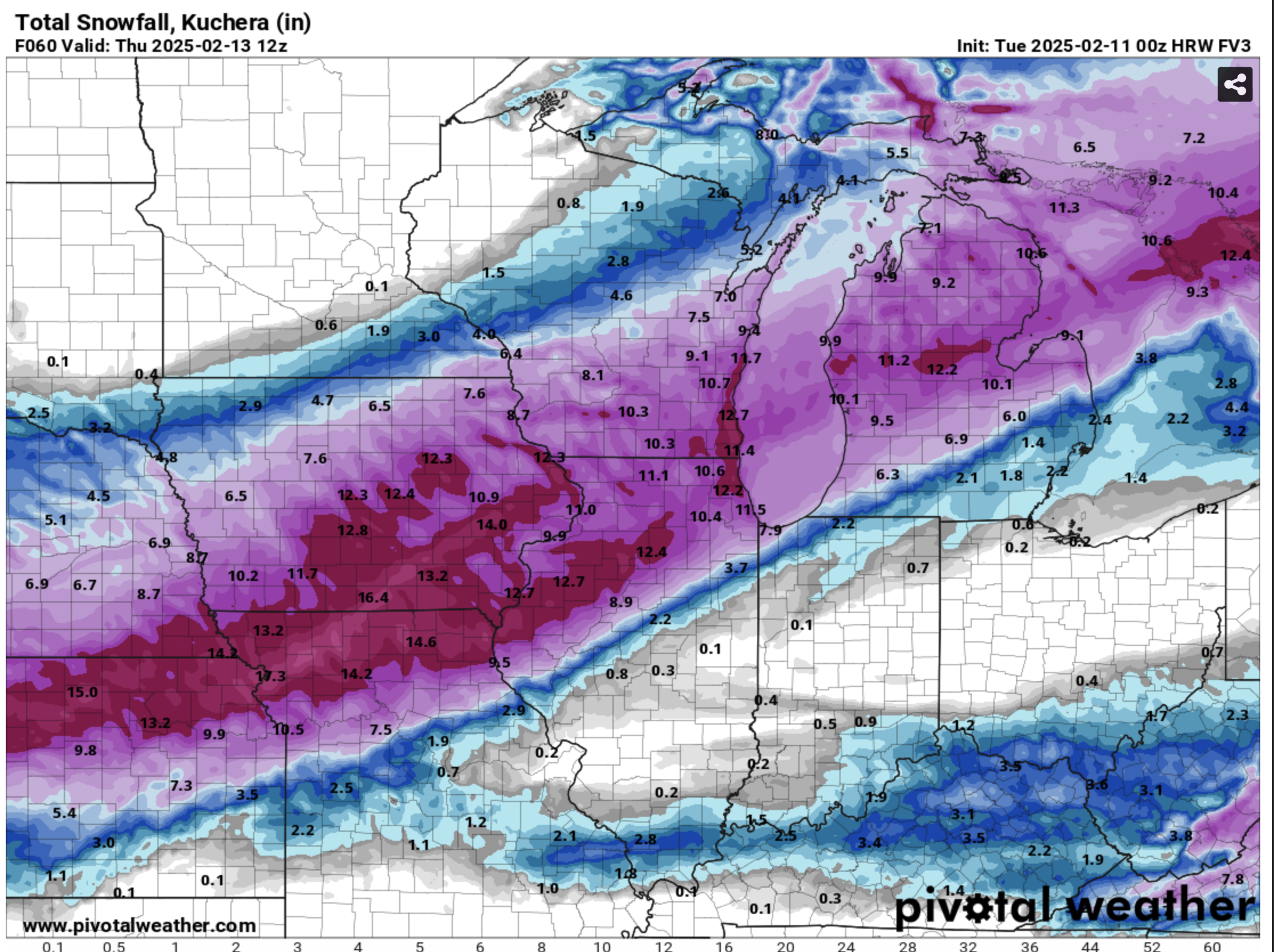
I don't want to see another Kuchera map for the rest of my life. I find them most useful when SLRs are sub 10:1, otherwise they just get everyone's hopes up needlessly. If you're depending on ratios, 9 times out of 10, you're going to be disappointed.
-
Went from hoping for 6" to 4" and now to hoping I can hit 2". Got an inch on the ground, maybe a bit more, but radar looks like shit and I'm not holding my breath for later.
-
Snowing already in Des Moines well ahead of schedule. WAA precip often begins earlier than modeled.
-
HRRR ticked up (here at least, I'm not looking everywhere so forgive me if it doesn't apply at your house). Maybe there's hope. Hope is such a dangerous thing.
-
It's already gone to shit as compared to a couple days ago.
-
Hasn't been any better up here.
-
It's close to the part of denial where we start saying things like "it's nowcasting time anyhow."
-
Another heartbreak, I'm sure. I was so excited for the possibility of a 12" snowcover this weekend. I'll be lucky to have 1/2 that.
-
My hope is I can hit 4", though 3.5" will make it the top event of the season. Anything less will definitely be a disappointment, but I'll take whatever I can get.
-
Some of us have had much more snow than others and shouldn't be so greedy.
-
The good news is we still have 36 hours for this to completely shit the bed.
-
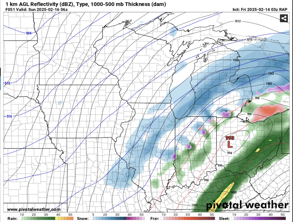
Track was pretty much identical to 18z not sure what y'all are looking at. Regardless, it IS drier.
-
Nope.
-
Posting solely because some of you seem like you might unalive yourselves as the kids say.

- 605 replies
-
- 10
-

-

-
3K NAM is rough.
-
If this falls apart for the Chicago area, you guys can blame me. I had spinal surgery in December and am still not allowed to lift more than 5-10lbs. So I can't shovel a heavy snow and don't think I'll be out there every 45 minutes either. Needless to say, took the snowblower out for the first time in ages.....so it might be all over now.
-
It's still the furthest south with tonight's event in the Ohio Valley though it has ticked north toward the rest of guidance. Hopefully it will begin to do the same, but it's stubborn.