SUNYGRAD
-
Posts
257 -
Joined
-
Last visited
Content Type
Profiles
Blogs
Forums
American Weather
Media Demo
Store
Gallery
Everything posted by SUNYGRAD
-
Some sun trying to poke out in Winston Salem after first line moved thru. But still rather thick clouds.
-
Storm Prediction Center Mar 16, 2026 1300 UTC Day 1 Convective Outlook -----issued 8:32 EDT SUMMARY.. Fast moving thunderstorms may become widespread and accompanied by the risk for damaging wind gusts and a few tornadoes across the Mid Atlantic today. There is potential that a couple of storms could become capable of producing strong and long track tornadoes. ...Southeast States... An intense upper trough continues to deepen over the Mid MS Valley, with its associated surface cold front surging eastward across the Appalachians and into the Carolinas/Mid-Atlantic. An active line of thunderstorms is accompanying the front from GA into western SC/NC/VA. Low-level winds are very strong along and ahead of these storms, encouraging the risk of numerous severe wind gusts and embedded QLCS tornadoes along the line. Clusters of thunderstorms have been developing ahead of the line as well, in a moist and strongly sheared environment. These storms will also pose a severe/tornado risk through the day as the primary large-scale ascent arrives.
-
Power outage maps are not too bad at moment in states to our west and southwest, not sure this will hold in NC and other states to our north once the system moves east and all rounds of storms move thru. Georgia at moment has the highest at about 1% total customers.
-
-
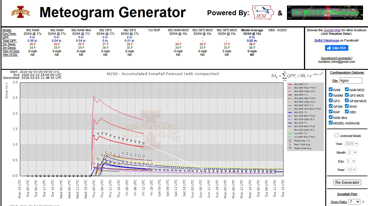
Pretty big numbers for sure. One model NAM 3K, but this brings attention here in the Triad area.
-
Crazy weather. Snow on the Newfound GAP webcam and 33 F.
-
https://www.ncei.noaa.gov/access/monitoring/rsi/societal-impacts
-
-
-
Maybe of interest to some- https://www.nhc.noaa.gov/data/tcr/AL132025_Melissa.pdf. Upgraded to 190 mph.
-
NCEI is targeting a late-week release for the February 22-24, 2026 snow storm RSI values.
-
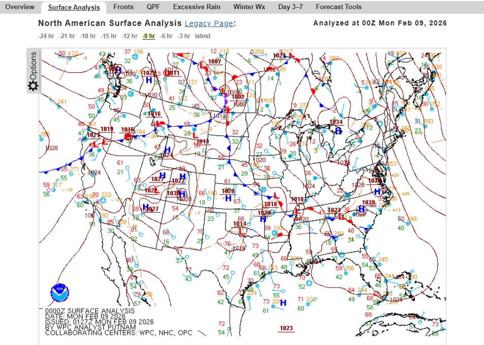
A weak area of low pressure moved WSW from NC mountains weakened but likely generated some lift over Upstate.
-
Models are unhappy...
-
Geez
-
-
I travelled to Thomasville this morning, and it was horrible from Wallburg and points north. Did not see one NCDOT truck.
-
I'm skeptical with amount of sunshine peeking thru and current temps for much in the way of snow----limited window for precip changeover. I have jumped to 44 here near Winston Salem.
-

January 30th- Feb 1st ULL and coastal storm obs
SUNYGRAD replied to JoshM's topic in Southeastern States
Some of you may enjoy this blog and pics, especially during winter events. There generally is less reporting in the Smokies, but thought I would share since I do a lot of backpacking out in western NC and Easten TN. High On LeConte - Daily Posts -
January 30th- Feb 1st ULL and coastal storm obs
SUNYGRAD replied to JoshM's topic in Southeastern States
Rapid Reaction: A Statewide Snowstorm for the Ages - North Carolina State Climate Office -
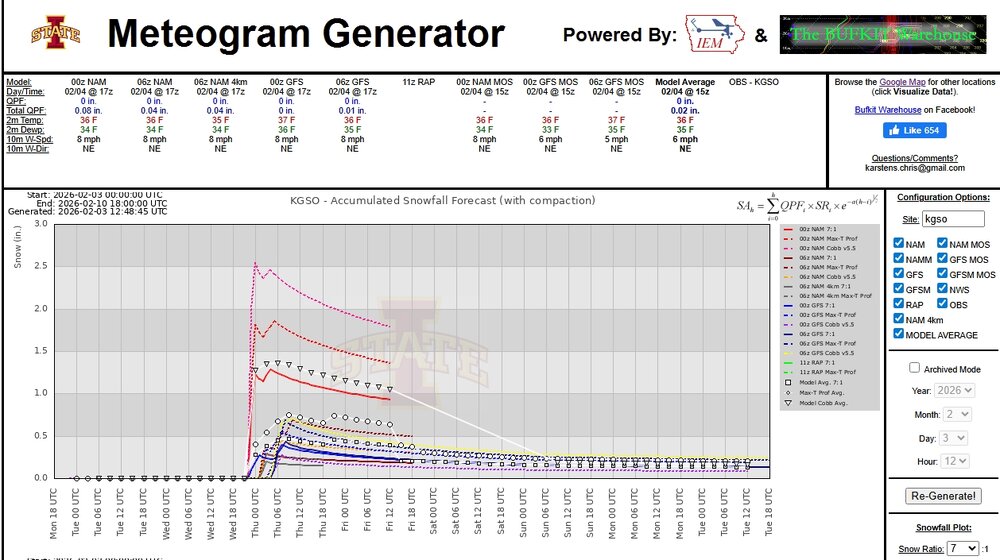
General idea here in Triad area at moment.
-
Everything comes in 3s.
-
Is this valued for a potential system? Thread?
-
Some momentum for light event.
-
Phil has spoken, so just maybe 1-2 more chances.