Stevo6899
-
Posts
2,925 -
Joined
-
Last visited
Content Type
Profiles
Blogs
Forums
American Weather
Media Demo
Store
Gallery
Everything posted by Stevo6899
-

-
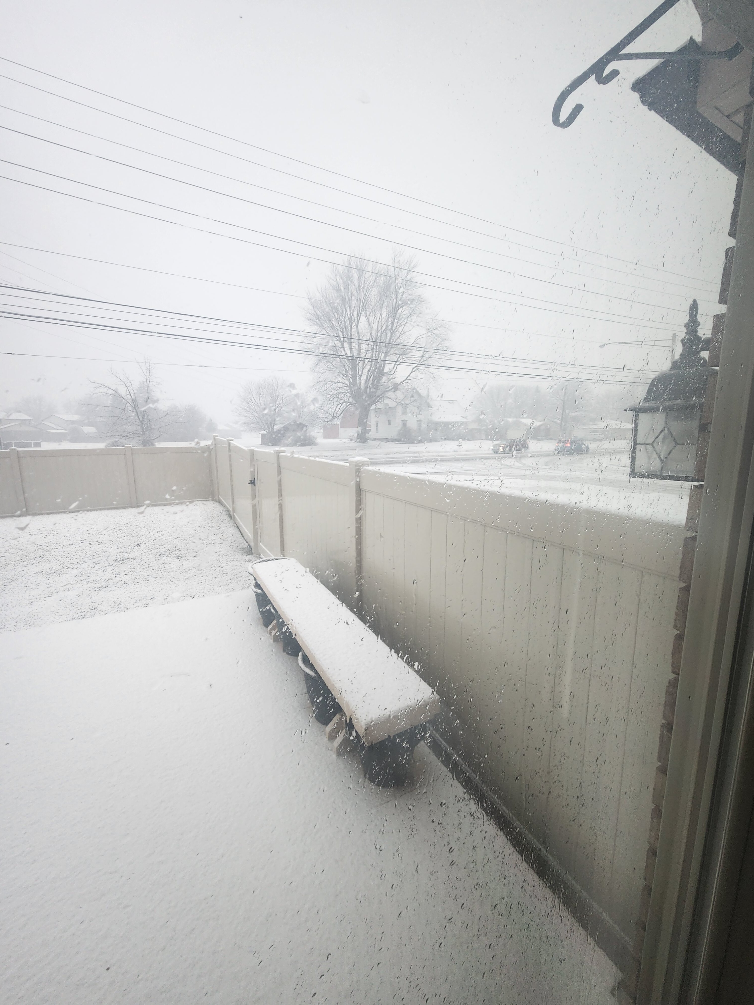
Gfs continues to show 15+ blobs over macomb and a few other areas.
-
Gfs has has 3 str8 runs of a 17+ bullseye over my parents house in macomb, while other models have the banding just a little to the west. The gfs has been the most consistent with this so hoping it's right.
-
Josh got his lucky snow pile shovel magnet out and reeling this baby in.
-
Still pretty big differences between gfs/Canadian/euro for dtw. Gfs/Canada is good. Euro/ukmet went nw on tonight's runs. Guess it's now cast time. I'd guess the bigger totals will be nw of detroit, although it's hard to go against the gfs as it's been more consistent than the euro
-
Howell would be a good place to be. Wouldn't doubt if the bands end up further nw than modeled.
-
The nao block is saving us from another Rainer. This will be the second 6+ storm winter, and both look to have some of the best rates this area will ever see. Odd winter
-
Its always great when you got those kind of bosses. I don't think i could do the wfm. I can only be productive in an office setting. Its weird....Yea my boss is pretty chill and just makes fun of me is all.
-
My employer can tell when a storm may be coming because they notice a drop-off in productivity, time responses to emails and how quickly I actually read them.
-
Looks like im staying in town a few extra days. Excited to see my first flakes in 5 years.
-
Uncle ukie is a good blend, and is further nw than its previous runs. Still don't know what to think for dtw. Hard to go against the euro. Gfs/Canadian 8+ dtw, euro mostly rain.
-
It's ridiculous. I just flew in this morning to empty my house i just sold. i'm loving this weather. Sun feels great. I'm supposed to fly out Friday and need to make a decision today if I'm gonna stay until sunday for this storm lol.
-
Hey I'm behind and agree with everything you've said lol. It's just unfuriating when people justify it with "its our normal climo" bs.
-
Josh will find a way to turn this all against you.
-
It's not really that trash. It's done well at times, within 72 hours. Has a nice 12+ stripe accross metro detroit, similar to gfs. Is the euro gonna score a coup?
-
Canadian with similar type track as gfs, but with less cold sector precip. The volatility between runs on these models still surprises me. Getting worse with more updates.
-
Obviously if u want big dog totals, it's ideal to have the storm peaking to your SE, but in this case for detroit, peaking earlier may help keep it all snow, otherwise this baby's tracking west of Chicago.
-
Ukmet more in line with canandian. Think euro/gfs a lil too far nw. Models tend do overdue strength in this range. Right now I'd feel the most comfortable being in the GRR area. It's been awhile since we've seen a sub 980 low take this kinda track. Looks like a good plastering wherever the snow ends up.
-
Tbh I don't think anyone noticed or cared that you weren't around but hey atleast some are happy you and your charm is back. Now I know more and shown hes been a creep for awhile but to not post because he was still here is a little dramatic. It's obvious now this board is run loosely, so it shouldn't of come as a surprise to you.
-
I think we've seen as far north as this thing can go on the 18z gfs. As rc stated, gonna be a battle between the block and the storm. Still think dtw down to fort wayne looking good.
-
I don't know anything about the Hoosier situation but I know yours and few others behaviors in the past.
-
Dtw bullseye 4 days out, can't remember the last time that was a good thing. Good thing about the euro is it's not transferring as fast.
-
Well I hope he was just hacked and there's a way for someone to tell if he was. I can't imagine he would make the same mistake 3 times either, but nowadays the people you least expect to disappoint you, tend to eventually.
-
Well that's troubling for sure. Not sure why someone with any kind of intelligence that Hoosier seems to have would be stupid and think that would fly.
-
Tbh it's none of our business and nobody's business on here. Never trust what you hear from anyone, especially on the internet. Just clique bullying prob going on. If something legit happened, then that's the police job.