Kmlwx
-
Posts
13,552 -
Joined
-
Last visited
Content Type
Profiles
Blogs
Forums
American Weather
Media Demo
Store
Gallery
Everything posted by Kmlwx
-
This is a cut and dry question - and the reason why we try to lean away from having people ask "when will watches be issued" It's cut and dry in the watch definition. https://www.weather.gov/lwx/WarningsDefined - that is an EXCELLENT resource page for newer members. Winter Storm Watch A Winter Storm Watch is issued when there is the potential for significant and hazardous winter weather within 48 hours. It does not mean that significant and hazardous winter weather will occur...it only means it is possible. Significant and hazardous winter weather is defined as a combination of: 1) 5 inches or more of snow/sleet within a 12-hour period or 7 inches or more of snow/sleet within a 24-hour period AND/OR 2) Enough ice accumulation to cause damage to trees or powerlines. AND/OR 3) a life threatening or damaging combination of snow and/or ice accumulation with wind. The snow/sleet criteria for a Winter Storm Watch for the five westernmost counties (Allegany, Mineral, Grant, Pendleton, and Highland) is higher (6 inches or more within a 12-hour period; 8 inches or more within a 24-hour period)
-
Okay..... Sir.
-
I always get a chuckle out of the people who wait for the watches like it'll have a direct impact on how good the storm is in the end.
-

Feb Long Range Discussion (Day 3 and beyond) - MERGED
Kmlwx replied to WinterWxLuvr's topic in Mid Atlantic
@Eskimo Joe - has been "hoping" for a catastrophic ice storm for many years now. Or maybe hoping is the wrong word. He wrote about how bad a serious, serious ice storm could be a while back if my memory is correct. -
Yes. He should read more and post less. 26,000 posts of nonsense
-
Have you 5-posted waterboy yet? Repeat offender much?
-
The WORST of the worst.
-
I've never once used the mute/ignore function on here. Might be changing this year...there are some straight up BAD posters on here. Worse than prior years it seems.
-
Feb Long Range Discussion (Day 3 and beyond) - MERGED
Kmlwx replied to WinterWxLuvr's topic in Mid Atlantic
The overall pattern looks good. Decent cold shot arriving later this week. Beyond that models will fluctuate. Focus on H5 not the specifics. -
Feb Long Range Discussion (Day 3 and beyond) - MERGED
Kmlwx replied to WinterWxLuvr's topic in Mid Atlantic
I wasn't even old enough (91 kid) to remember it. So even just witnessing that magnitude of event unfold would be insane. -
Feb Long Range Discussion (Day 3 and beyond) - MERGED
Kmlwx replied to WinterWxLuvr's topic in Mid Atlantic
Let's go for several chances the next few weeks and then prepare for a March '93 style triple phaser in March. -
Jan 31st - 33rd Storm Obs and Disco like it's 1979
Kmlwx replied to Bob Chill's topic in Mid Atlantic
Happens here every time. Even though the sun isn't out - you're still getting some energy making its way through the clouds to melt the snow. Parent's walkway has cleared out on its own at this point. -
Jan 31st - 33rd Storm Obs and Disco like it's 1979
Kmlwx replied to Bob Chill's topic in Mid Atlantic
Would be fun if this was the 2021 version of the late January snowfall in 2010 - the long range and storm term thread should be rocking in the coming days. -
Thank you! Honestly - my knowledge level is pretty low overall. I think summer is also beneficial because the ratio of mets to general lay people becomes a lot better. Add in lower forum traffic and you get a TON of great discussion between the folks that stick around. @high risk and - @ers-wxman1 are absolute rockstars in here during the severe weather season. And their posts are a lot easier to find since the forum isn't moving at a mile a minute. I just get irritated when the rails come off like 15 times during the same storm. It's really not that hard to just be cordial and at the same time try to make quality posts.
-
There's only so much anger you can generate from hitting 99 degrees instead of 100 in the summer I think severe wx fails are easier to handle as well...usually in the summer you're only a few days (at most) away from your next shot. The anticipation for big severe events usually creeps up on us more than long lead snowstorms.
-
Jan 31st - 33rd Storm Obs and Disco like it's 1979
Kmlwx replied to Bob Chill's topic in Mid Atlantic
I had told my friends locally that I thought 4-8" was a good call with 4" being the absolute minimum for my immediate area around Colesville, MD. I think I'll end up being right....but it didn't go down at all like I would have expected it to despite our Miller B climo. That WAA thump REALLY underperformed for my back yard (well my parent's). But this continuous bombardment of light to moderate snow is likely going to get me past the 6 inch mark. Let's hope this is an appetizer for the next part of the pattern! -
Your dumb stuff is lovable dumb stuff, though.
-
- Thank you for the kind comment. However...I've just suppressed the weenie behavior . I think I've ultimately just learned that weatherfails happen. It's not come conspiracy against me. I've mentioned it a few times the last few days...the @Bob Chill - approach to weather is really refreshing. I'm 100% all for fostering great connections with new posters - but it goes both ways - if newbies are going to get so excited that they can't stop hitting the post button...something has to be done. It took me a long time to realize that having 10K posts wouldn't make me a good/balanced poster.
-
Honestly...it goes both ways. Everyone has their posting style. Weenie newbies back in 2006 were SWIFTLY dealt with. I hung onto that god awful weenie tag in my title for way too long. It was almost like putting a dunce cap on posters. I think we all need to be cordial of course - but at the same time, I think people really get their feelings hurt a lot more easily than in 2006. It's been a hell of a year - we all need to realize that ultimately...it's weather. Most of us saw snow, a lot of us are still seeing snow today. IIRC the weenie tags back in 2006 even had the Oscar Meyer branding. I will say....compared to toxic social media....we really aren't that bad. People just start to glom onto negatives and dogpile on people. Let's bring the friendliness of the summer months in here and apply it year round.
-
I hope I didn't come across as targeting @DCTeacherman - definitely wasn't my intention. I have no beef with anyone here. But gosh darnit people...stop interrupting my reading of the lovely snow obs coming in. When I mash F5 I don't want to see 15 posts dogpiling on somebody. Let the mods handle. I came here for the weather.
-
I won't agree or disagree. But there's a few factors here - There's a difference between asking a meteorologically relevant question and asking "How much for Philly?" in a fast paced discussion thread. I was an AWFUL poster in the Eastern days back in 2006. I posted too much, opined on things I had no clue what I was talking about, and did too much hand wringing over storms. I started reading, listening to met posts, and not feeling like I had to be posting to stay relevant. We just all need to be friendly towards each other and give new posters friendly nudges if needed. But if somebody keeps up terrible posting - I have no issues with the mods 5-posting or taking other action. The vast majority of people on here are friendly and willing to teach newbies.
-
I understand - I just didn't want it to start to shift to another devolution of the obs thread. I'll say one thing...I love snow...but a huge benefit of sticking around here during severe season is we seem to have a ton less issues with threads coming off the rails. I think a lot of it is just lower overall traffic. But sheesh...I'm reminded why I sideline myself most of the time unless I'm updating my observation.
-
Jan 31st - 33rd Storm Obs and Disco like it's 1979
Kmlwx replied to Bob Chill's topic in Mid Atlantic
Guys - let's not cycle into another round of making this thread unreadable. If you're going to continue this can we please do it over in banter? Bottom line, we now all know the proper measurement procedures - his amounts shouldn't be included in an official map or mappy's map at the end of season. The Winter Storm Warning criteria is not simply 5 inches. Okay? -
Jan 31st - 33rd Storm Obs and Disco like it's 1979
Kmlwx replied to Bob Chill's topic in Mid Atlantic
Here's the LWX Winter Storm Warning criteria - A Winter Storm Warning is issued when a significant combination of hazardous winter weather is occurring or imminent. Significant and hazardous winter weather is defined as a combination of: 1) 5 inches or more of snow/sleet within a 12-hour period or 7 inches or more of snow/sleet within a 24-hour period AND/OR 2) Enough ice accumulation to cause damage to trees or powerlines. AND/OR 3) a life threatening or damaging combination of snow and/or ice accumulation with wind. The snow/sleet criteria for a Winter Storm Warning for the five westernmost counties (Allegany, Mineral, Grant, Pendleton, and Highland) is higher (6 inches or more within a 12-hour period; 8 inches or more within a 24-hour period). -
Jan 31st - 33rd Storm Obs and Disco like it's 1979
Kmlwx replied to Bob Chill's topic in Mid Atlantic
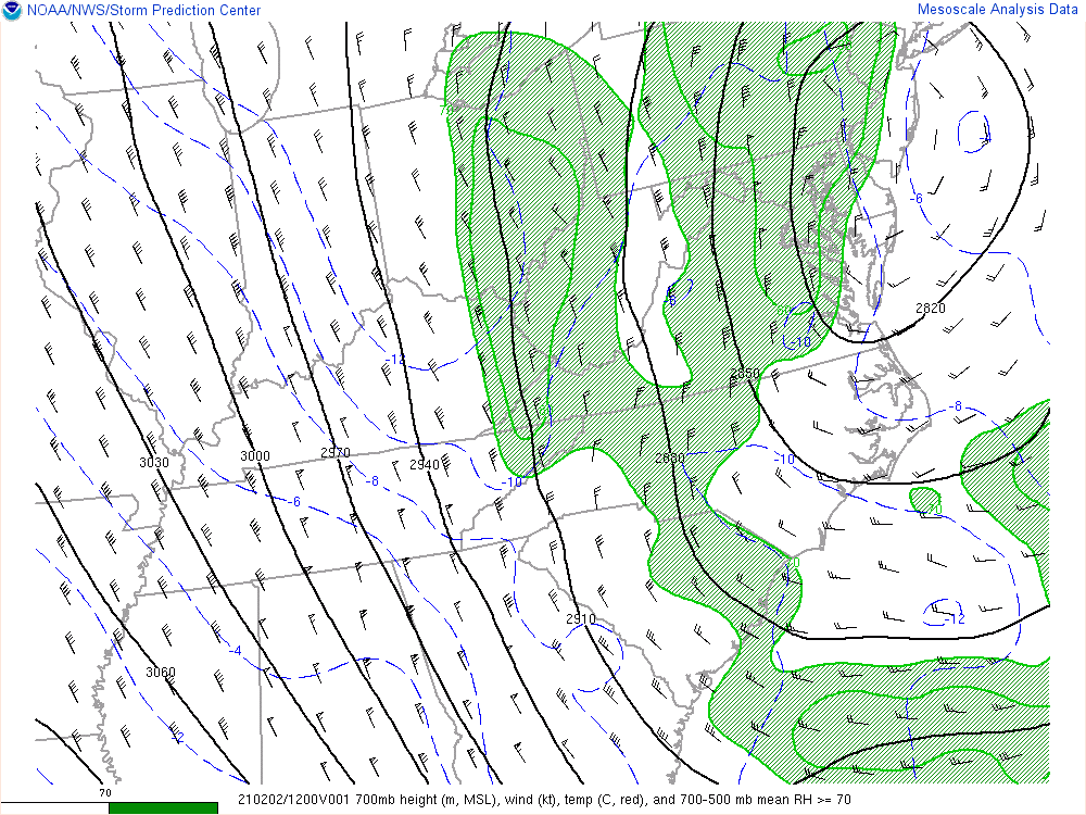
700mb mesoanalysis.