ORH_wxman
-
Posts
93,099 -
Joined
-
Last visited
Content Type
Profiles
Blogs
Forums
American Weather
Media Demo
Store
Gallery
Everything posted by ORH_wxman
-
January 16 2021 - Inland runner Rain/Snow/Wind
ORH_wxman replied to Baroclinic Zone's topic in New England
There's been a slight warming trend from yesterday....but I think S VT and maybe N Berks are in a good spot. Would be fun to be at Beast for this event to see if they can grab 8-10" of paste. -
Not to nitpick, but I think the storm you are referring to was 1987. It was 1/2/87. That storm matches your description of both being during SYZGZY and also a 1-2 foot paste bomb back in the 495 belt. I do think you have also mentioned a "little critter" from earlier that winter on several occasions. November 19, 1986 had a fast moving clipper-esque system that redeveloped off NJ and blasted us with 6-10" when the forecast was for only an inch or two.
-
Lets just do a repeat of Jan '05....we get the 2-4" clipper appetizer 2 days before the next clipper detonates into a nuke that forever lives in James Nichols' lore.
-
Legit arctic antecedent airmass ahead of it too....there's plenty of baroclinicity to work with. There's good potential on that one if it can dig.
-
I think he's assuming no phase....like the 00z run...it's close enough to be an annoying piece of shit and pumping the SE ridge to put the northern stream into the meat grinder.....while the 12z run being further west with it gives a more relaxed gradient in the east for the northern stream to dig in.
-
Yeah it gives the northern stream more room to dig with less SE ridge pumped up ahead of it.
-
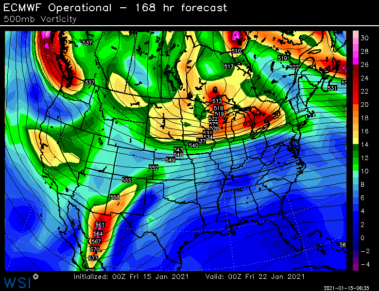
Here is the 00z vs 12z Euro on just the northern stream difference
-
I wouldn't sell 1/22 yet...that could easily turn into a pure northern stream system. Euro is trying for the Miller B this run as it is.
-
Yeah I'm def watching that one. I know it's not THAT exciting since no models actually show it going to town right now, but it's really close. Wouldn't take much for a little blow up into a decent little event.
-
Turning it into solely a northern stream deal isn't the worst alternative....those are a lot easier to trend significantly at a shorter lead time since they are usually coming from some horrible data-sparse region.
-
Yeah the 1/20 clipper
-
It's def a great upslope pattern coming up...you have the obvious signal behind the current storm system, but then the shortwave that passes through early next week is going to set off another round of upslope just as the first round is dying down....sort of reinvigorates it. Then behind that, you have the clipper shortwave for middle of next week....at the very least, if you don't get a few inches of synoptic snow, the upslope machine is going to wring out any of the moister associated with it.
-
Heh...that's kind of what happened in the 1/26-27/15 blizzard. Thing was cooked and in Bermuda at 72h lead.
-
January 16 2021 - Inland runner Rain/Snow/Wind
ORH_wxman replied to Baroclinic Zone's topic in New England
Agreed....I'll bet his net gain is 6"+....he will have probably close to a foot or more on the ground afterward. -
Absolutely....we want that thing to throw everything it has at us and dare it to move the block. You'll get a truckload of moisture running into a brick wall.
-
Also looks like it didn't want to phase the southwest energy into the system like yesterday's run. Yep....it's not uncommon at all in that type of pattern. You are obsessing over a "larger" threat a week out and then you get ambushed inside of 4 days by a sniper hiding in the flow.
-
I wouldn't totally sleep on the 1/20 clipper either...smart bet is that it is no big deal, but some of the runs are pretty close to popping that a bit on the scenarios where vortmax tracks under us. You can get solid advisory type snows on that type of setup.
-
Injection lows can cause positive busts. I recall one on 2/18/14 down here. Forecast was advisory 3-5 stuff with maybe marginal warning in S NH. Widespread warning snows happened in N CT through a lot of MA. So for those who are in the cross hairs of where that little firehouse of precip runs into resistance, it can produce.
-
The Saturday low is kind of a classic injection low setup. Those can be really nice if you stay snow. Up by Phin could really rake it in for a few hours on that setup.
-
NAM def a lot better now for the NNE interior peeps.
-
A lot of guidance has the midlevels too warm out in the Berkshires and NW CT. So you have to reconcile that difference before going gung ho. It’s not a situation where one model is like 0C and another is +1C at 925 with 850s of -2C. It’s legit like 850 temps being +2 on some guidance and near 0C on others.
-
Not to nitpick, but 2011 would be more like 50-70" in 4 weeks....I ripped off 63 inches between 1/7 and 2/2 in 2011. 30-40 would be more like a Feb '14 or a Jan '94 run. Nothing to sneeze at obviously...I'd take it and run.
-
Yeah the anomaly difference is like 3-4C and the stratospheric PV is squashed/elongated more on the recent runs. Yeah gonna be hard to get a KU type system in this pattern I think....if there's a window though, I'd prob pick late January when the trough retrogrades into the GOA and may provide a little bit of temporary ridging into the Rockies while we still have a good Atlantic in place. Maybe something like going on an early 1994 run is definitely viable though.
-
Yeah that is much better looking than Monday. NAO exerting more influence. Hopefully the break down of the blocking keeps getting pushed out.....you'd expect that to be a theme as guidance starts to "see" the SSW better as it downwells.