

ORH_wxman
-
Posts
93,099 -
Joined
-
Last visited
Content Type
Profiles
Blogs
Forums
American Weather
Media Demo
Store
Gallery
Everything posted by ORH_wxman
-
Pretty amped. A lot of non-snow in that. It’s more amped than all the other guidance though so no reason to sweat it at this range.
-
I feel like that is going to get chewed up really easily by dry arctic air....maybe south coast can watch for minor accums.
-
Yeah this is the most since Mar ‘18 here as well. I think we peaked at 27 or 28” that month. We have a legit chance to pass that if we can cash in on one of these larger threats coming up. But this one has a much better chance at being the longest sustained pack since 2015. Recent years since 2015 have been pretty cruddy during mid-winter so we’ve melted down to bare ground easily. This one started 1/26 here, so we’ll see if we can run the table into 2nd half of March or better.
-
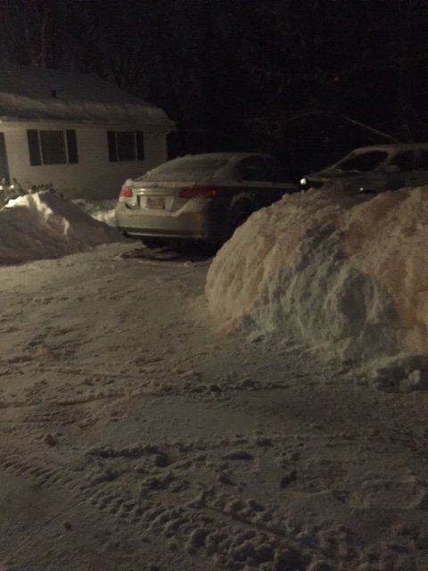
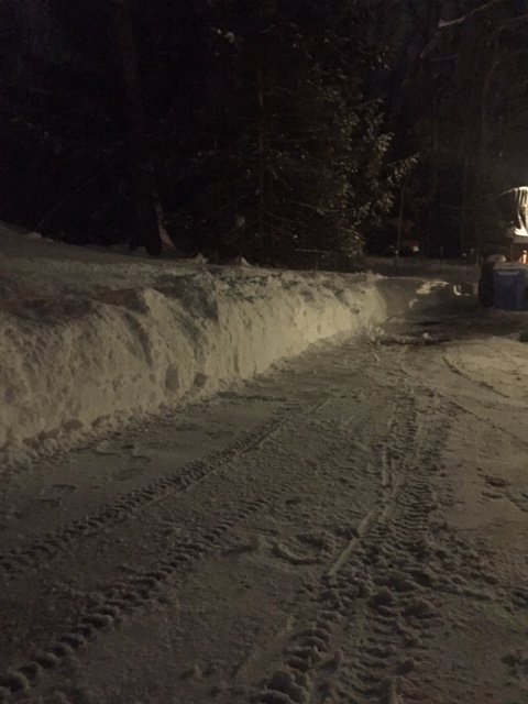
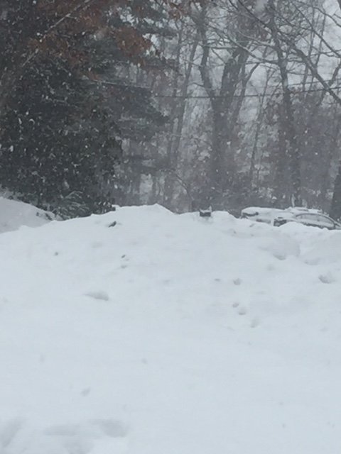
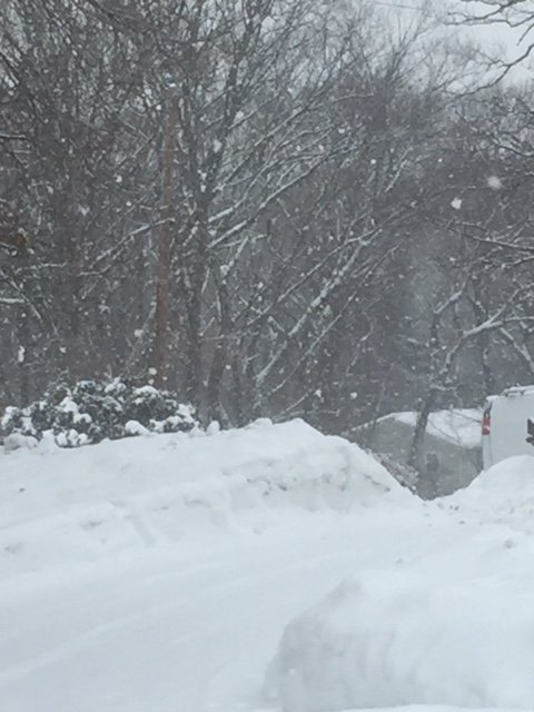
I haven’t gone to the undisturbed part of my yard yet since before Sunday but i guessing around 18-20” is the pack depth.
-
Nice refresher of 3.5”. Enjoyable even though it was on the lower end of expectations (I was expecting 3-5” here for the last couple of days). Pack is getting impressive with those 4 consecutive snow events (1/26, 2/1, 2/7, 2/9) totaling 31 inches.
-
Really sweet flakes in this band
-
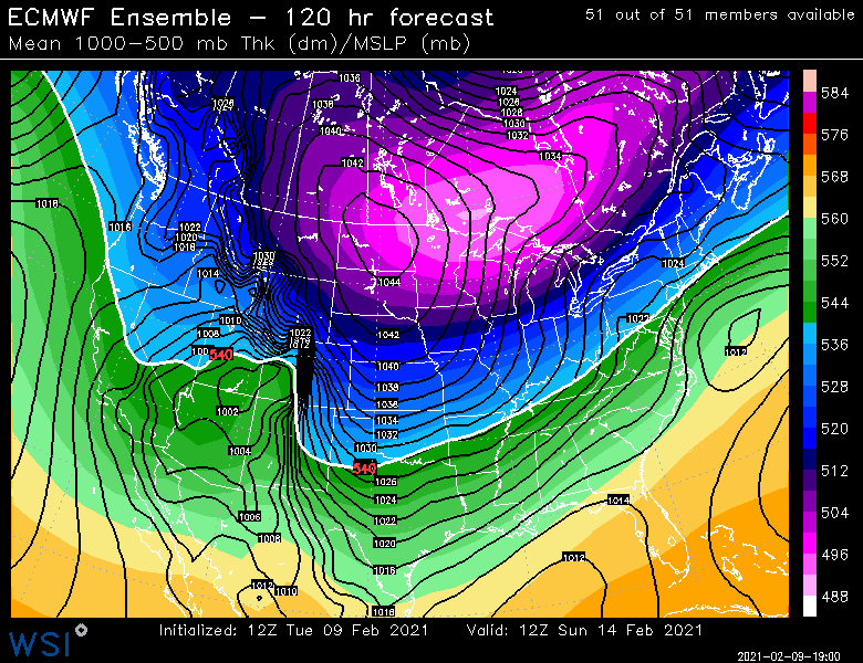
Both euro suite and GFS suite are liking the 2/16 threat as well but the model positions are reversed from 2/14. Euro suite is more amped while GFS suite is a little more offshore. Plenty to track though...might be more systems beyond 2/16 as well since the pattern remains favorable.
-
Some differing opinions on guidance for 2/14...euro suite is more suppressed while GFS is more amped.
-
Breaching 3” now looks like eyeballing it. Prob won’t reach 4” but may get close. Coming down pretty good in this band but looks like it gets much lighter in an hour
-
Pretty good echoes now in that. Prob some 1" per hour stuff or close to it.

-
Nice band from ORH county to Middlesex county now
-
Lol, that's for 1 inch of snow over 24 hours. Pretty decent chance we at least get scraped by some residual lift, but the question is whether we get something major.
-
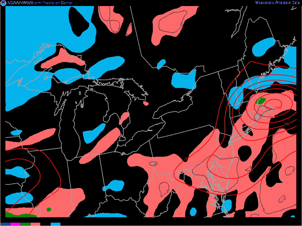
EPS luke warm on 2/14....it's there but needs a little help...still some time to yank that NW
-
Wouldn't be surprised to see the bands strengthen a little more over the next hour or two in eastern areas....there's some -EPV overlaid on the the ML fronto there right now
-
Definitely has gotten more organized over central/eastern MA/N RI.
-
Poundage with good flakes
-
Getting smoked now. Somewhere around 25dbz seems to be that magic number for getting big snow growth
-
Ripping pretty good right now....might be able to salvage solid advisory if we can keep this up for another 3-4 hours.
-
Radar actually looks pretty good for SE MA at the moment.
-
Baking powder under these echoes. Gonna need some better bands to reach 3" here.
-
Filling in now
-
Good flakes here
-
We're def getting better and better snow growth by the second just north of the slot....was pure baking powder/dandruff even 20 minutes ago, but now it's probably more than half hooked-dendrites. Seems like 25 dbz is prob the magic number down here.
-
You can actually see it better on OKX radar....new bands trying to start up in CT
-
There's stuff trying to redevelop to your SW. You prob aren't completely done.
