-
Posts
93,092 -
Joined
-
Last visited
Content Type
Profiles
Blogs
Forums
American Weather
Media Demo
Store
Gallery
Everything posted by ORH_wxman
-
Yeah it's about every 20 years or so it happens.
-
You also probably don't cover it with chemicals all year like he does. I won't need to cut my lawn until at least memorial day since we don't fertilize it. Plus the hill I'm on is pretty much a granite rock so the soil quality here is garbage.
-
Didn't quite freeze here....but close. Down to 33F.
-
that's close to a paste bomb for interior
-
Polishing turds. Pattern looks like trash for good warmth. Paying the piper a bit after the mild start to the month. Can’t complain about the month overall but I was hoping for some 70s/80s to close the month but it looks bleak.
-
The one redeeming quality of the torching summer of 1995 was the number of epic nocturnal storms we had....it felt like we were in the ring of fire for weeks at a time. Even if you didn't get a storm, they were close enough to see the lightning flashing in the distance or hear some rumbles as you went to sleep.
-
Yeah this is my point....I've always loved 70s to maybe low 80s (if it's dry) outside and my kids aren't complaining that it's too cold when its 77F outdoors.....lol. I've had them complain when it's 94F outside and we aren't at a pool or beach.
-
That's a good question....I haven't figured it out yet. My temp preferences haven't changed since having kids. I have a lower tolerance for early autumn cold I guess, but that isn't from having kids....I started preferring mild weather into October about 10 years ago.
-
No he won't....I have kids and still don't like the heat. We take 75-85 all summer....that's plenty warm.
-
This April is absolutely better than probably the last 5-6 Aprils...one exception might be 2017 which was really nice....we've really had some dogshit Aprils since 2016. But this month has been pretty wet which kind of puts a damper on the relative mildness. But it could be far worse....so can't complain too much.
-
Yesterday was dogshit...had a nice sunset but that was about it.
-
Yeah April is just so bad up here. October would be a distant 2nd.
-
Did people already forget 2020 and 2018?
-
The rain has been kind of annoying this month but we’re lucky it hasn’t come with below normal temps. We put up a couple brutal aprils recently (I think one of them was a -5? Lol) so I’ll take a warm one even if it’s a little wet. It would be nice to grab a nice Stein period though.
-
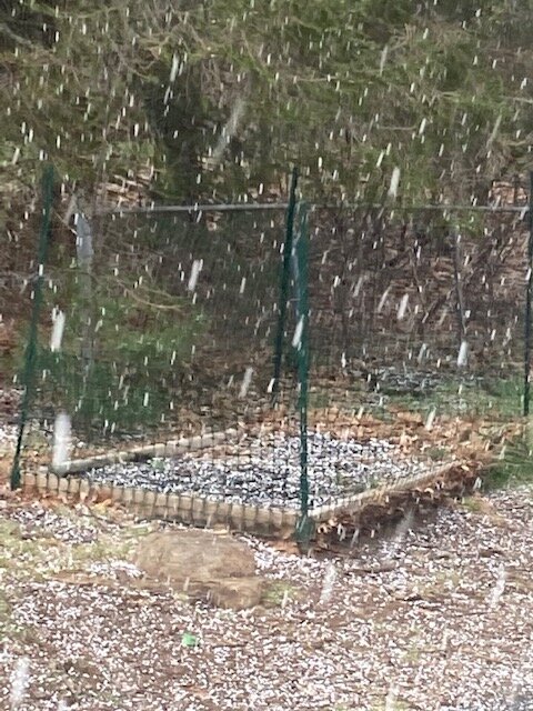
Yeah. I tried uploading a video but can’t get it small enough. It was all dots at first but then had a lot of flakes mixed in.
-
-
Those are new growths on the spruce I think. They eventually mature into regular spruce needles.
-
Prob not much. Maybe a little on the front end but the big west trend negates any chance at something siggy.
-
Have a few weenie flakes here too.
-
My old stomping grounds near Ithaca might get crushed. Esp those areas above 1000 feet. Pretty classic setup for them. I remember we got crushed on 4/9/00 out there during my freshman year.
-
If we go with an FMH/Cape track then I think 495 belt is in the game for at least a few pasty inches. Something a little west like PYM/EWB is prob more like Hubbdave up into Monadnocks and NW.
-
It’s been a pretty brutal stretch there the past 3 winters. At least last year was pretty good from my area to ORH and into interior RI/N CT….had a good December (sans the horrible cutter) and then a really solid period from 1/25 through about 2/20 with the signature 2/1 event that gave me 17” of paste. But you getting skunked in that one really put a damper on that period even though you did well in the super bowl event a week later. At least you got a HECS this winter…but yeah, kind of shitty outside of that event. If that BGM storm in mid-January had not taken the literal 1 in a 100 track, this winter would’ve looked a lot better. We would’ve added to the pack already OTG from 1/7. I still can’t believe that storm tracked like that. Lol….run that pattern another 100 times in the simulator and we prob get a KU in 90 of them.
-
Yeah I remember like circa 2007 and earlier when Kevin hated hot summers. Lol. My preference for snow hasn’t evolved though like others. I’ll take snow just about anytime and I still can’t stand hot and humid weather. Prob the only thing that has evolved in my wx preferences is in the fall, I don’t need it to flip cold right away. I used to want frigid Octobers but now I’m fine with 60F+ outdoor weather until mid November when snow threats become a little more realistic.
-
Also needs to track more like 18z NAM and not over BOS for anyone east of buried bodies territory in SNE/S CNE if we’re talking more than a couple inches on the front end. Once you get up into northern Cheshire county it becomes a little easier.
-
Yeah I hear you…but since it’s going to be cold regardless, I’ll take a little snow. I’ll take snow anytime of the year actually. Lol….I love the October snows when they happen and late spring snows.


