ORH_wxman
-
Posts
93,095 -
Joined
-
Last visited
Content Type
Profiles
Blogs
Forums
American Weather
Media Demo
Store
Gallery
Everything posted by ORH_wxman
-
The event of the season - 2 days of hell!
ORH_wxman replied to Go Kart Mozart's topic in New England
I wonder if their dew sensor was operating ok….since we know the temp was running 2-3F too warm. Dec 1990 readings are totally fake. Wasn’t even that dry or cold of an airmass. -
The event of the season - 2 days of hell!
ORH_wxman replied to Go Kart Mozart's topic in New England
Not bad. 4th coldest reading on record at the Logan airport site. (Post-1936) -
Ok but you responded to a post about the 00z euro.
-
The event of the season - 2 days of hell!
ORH_wxman replied to Go Kart Mozart's topic in New England
I don’t think any other event in my lifetime exceeded the wind chills of this one on a sustained basis. This was pretty brutal for about 8-12 hours. We’ve had longer outbreaks for sure…this one was really short but incredibly intense. -
On 00z euro?? That looked good to me.
-
The event of the season - 2 days of hell!
ORH_wxman replied to Go Kart Mozart's topic in New England
Wow. BOS -10 is legit. Beats 2016. ORH -13F….they likely tied 2016 given the surrounding mesonets but we’ll never know for sure. -
The event of the season - 2 days of hell!
ORH_wxman replied to Go Kart Mozart's topic in New England
Almost obs time…and this is really impressive near KBOS
-
The event of the season - 2 days of hell!
ORH_wxman replied to Go Kart Mozart's topic in New England
It’s hard to even let anyone feel that with exposed skin. It would freeze within a minute or two. -
The event of the season - 2 days of hell!
ORH_wxman replied to Go Kart Mozart's topic in New England
MWN seems stalled at -45. Still might be 2-3 hours to drop it further but they aren’t reaching -50. -
The event of the season - 2 days of hell!
ORH_wxman replied to Go Kart Mozart's topic in New England
ORH -6 Seems be fluctuating between 2 and 3F too warm These temps are crazy considering the core hasn’t arrived yet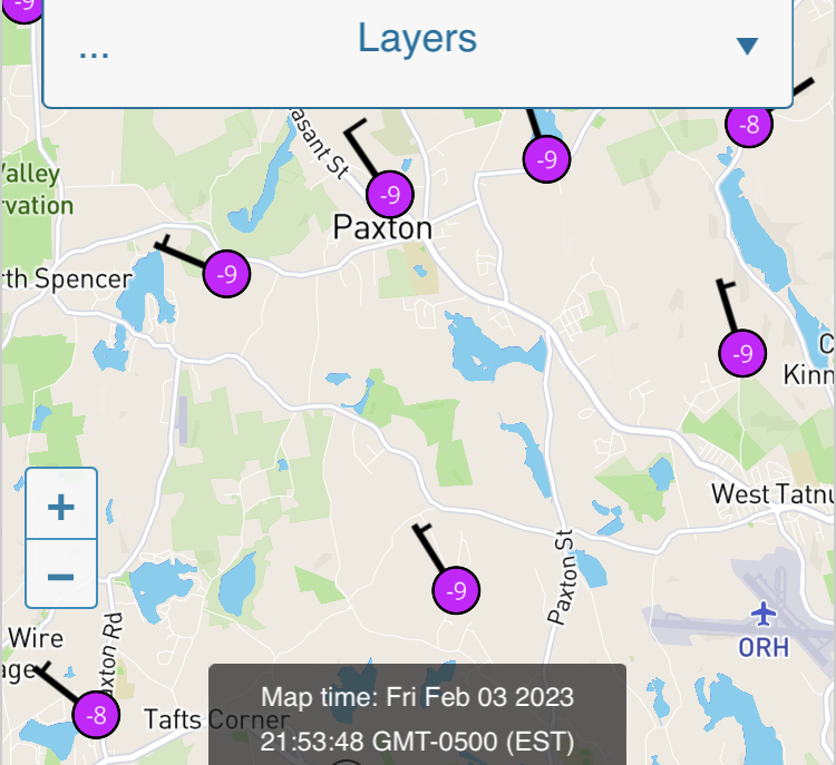
-
The event of the season - 2 days of hell!
ORH_wxman replied to Go Kart Mozart's topic in New England
He was kidding…see the discussion about the ASOS a couple times in the past few pages. -
The event of the season - 2 days of hell!
ORH_wxman replied to Go Kart Mozart's topic in New England
Yeah it’s a legit dangerous night to lose power. It’s bad enough on a run-of-the-mill 10F breezy night in mid-winter, but this makes that look like a balmy summer evening. -
The event of the season - 2 days of hell!
ORH_wxman replied to Go Kart Mozart's topic in New England
-
The event of the season - 2 days of hell!
ORH_wxman replied to Go Kart Mozart's topic in New England
Yeah that’s a solid 2F off. Can make a good case for 3F too warm since those mesonets were 10 min before obs time. That’s pretty awful. -
The event of the season - 2 days of hell!
ORH_wxman replied to Go Kart Mozart's topic in New England
Just a few minutes to obs time, let’s what they come in with…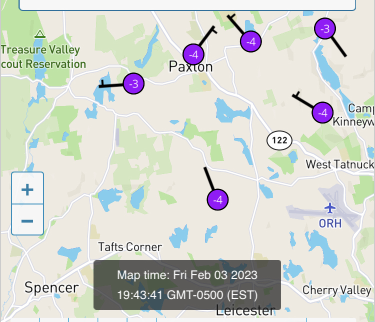
-
The event of the season - 2 days of hell!
ORH_wxman replied to Go Kart Mozart's topic in New England
If their low is -15, I might go office space on the ASOS. I’ll be on the news in cuffs being perp-walked in below zero readings. -
The event of the season - 2 days of hell!
ORH_wxman replied to Go Kart Mozart's topic in New England
I mean it very well could cost them a cold record (and likely inflated their January departure too) -
The event of the season - 2 days of hell!
ORH_wxman replied to Go Kart Mozart's topic in New England
ORH 1F at 00z….ASOS temp there is tossed further than the BOS snow measurements at the sewer plant. That is a shame….
-
The event of the season - 2 days of hell!
ORH_wxman replied to Go Kart Mozart's topic in New England
Getting an ASOS fixed is probably harder than getting cooperation from the IRS. They usually only fix them when it becomes super obvious. At least in the past. I just checked MADIS site and it’s been running pretty warm since late 2020 actually but there are no noticeable recent kinks in the graph. There’s a big on though in 2020. -
The event of the season - 2 days of hell!
ORH_wxman replied to Go Kart Mozart's topic in New England
Yeah and if they get to like -15 tonight, I’m going to wonder if they really did tie or break 2016 if all the surrounding mesos are -16 or -17. Oh well…can’t do anything about it now. -
The event of the season - 2 days of hell!
ORH_wxman replied to Go Kart Mozart's topic in New England
We’d weenie out over this type of cold outbreak in a good winter too. This is very rare to get a cold shot this intense. Even if it is very quick. -
The event of the season - 2 days of hell!
ORH_wxman replied to Go Kart Mozart's topic in New England
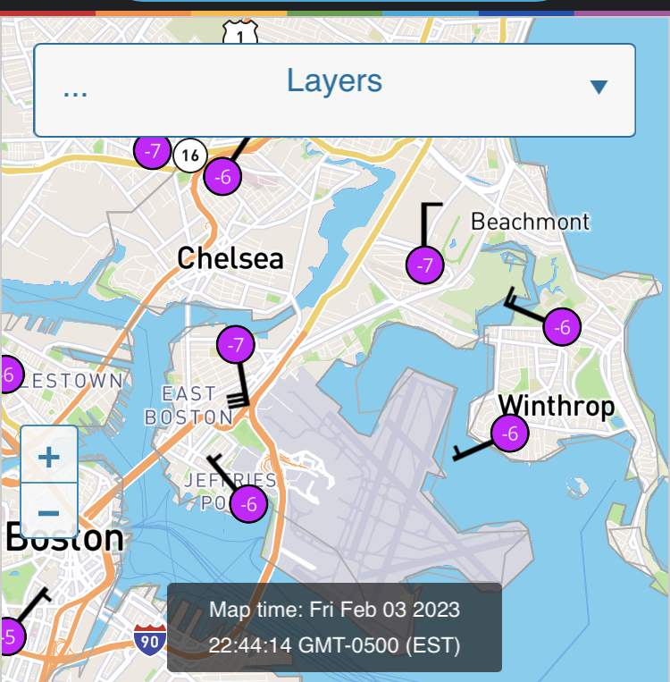
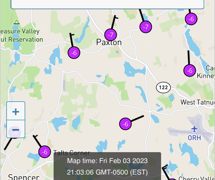
I’ve been noticing most of today, the mesonets at similar elevation right near ORH airport have been running 1-2F colder…You’d hate to have a wonky Asos sensor on a night like this when records are at stake. -
The event of the season - 2 days of hell!
ORH_wxman replied to Go Kart Mozart's topic in New England
You should smash 2016 up there. In that cold shot, you missed the core of it by a little bit but not this time…and the core of this one is a little colder. -
The event of the season - 2 days of hell!
ORH_wxman replied to Go Kart Mozart's topic in New England
Wind ripping sometimes does funky things to my woodstove and I’ll get a little bit of smoke backlash…but usually that’s when the fire is low. When it’s raging I don’t have that problem. I wonder if pellet stove sort of acts the same as a low fire (except just hotter) -
That was a very cold stretch. Charles river though is pretty easy to freeze. It freezes most winters though I’m sure that year it was very thick and you could easily have walked on it.