

Torch Tiger
-
Posts
15,008 -
Joined
-
Last visited
Content Type
Profiles
Blogs
Forums
American Weather
Media Demo
Store
Gallery
Everything posted by Torch Tiger
-
good luck, those are roughly the same #s I threw out there a few weeks ago for SNE sites.
-
-0.0"
-
I forgot how late it was, it seemed to be just before sunset in SE MA. I think what helped at the time was the sun was setting, not sure it would have snowed a few hours earlier.
-
Iirc it snowed at 40-45F in Attleboro...like Will said, started as graupel and eventually cooled enough to flip
-
Was the snow in the afternoon/evening? Pretty sure I recall the same.
-

Mid-Atlantic winter 2019-20 snowfall contest
Torch Tiger replied to PrinceFrederickWx's topic in Mid Atlantic
BWI 7.1" DCA 2.4" IAD 8.2" RIC 1.5" SBY 4" -
May 18th 2002 was pretty good. Had like 4" iirc sadly no older folks mentioned the desert dry of '65
-
I don't remember specifics day to day for that winter, was only 17. I do remember skiing in VT up at Burke (toured Lyndon) and it was mediocre. Drove home to bare ground.
-
95-96 should be bittersweet to southern areas. It of course featured some incredible late season snows. It also features one of the most memorable meltdowns of all time. Locally interior SE MA, we had a staggering 30-35" pack that was obliterated in a short time. The most since 1978, when the snowpack was around 45" and drifts 10'.
-
Dec. 24th-28th 2008
-
I liked 2010. Remember closing on my house Jan 1st 2010. days of mood snow, totalling around 8"
-
Perhaps, but that Mar.-May was even better. Winters as a whole suck, even warm ones.
-
#1
-
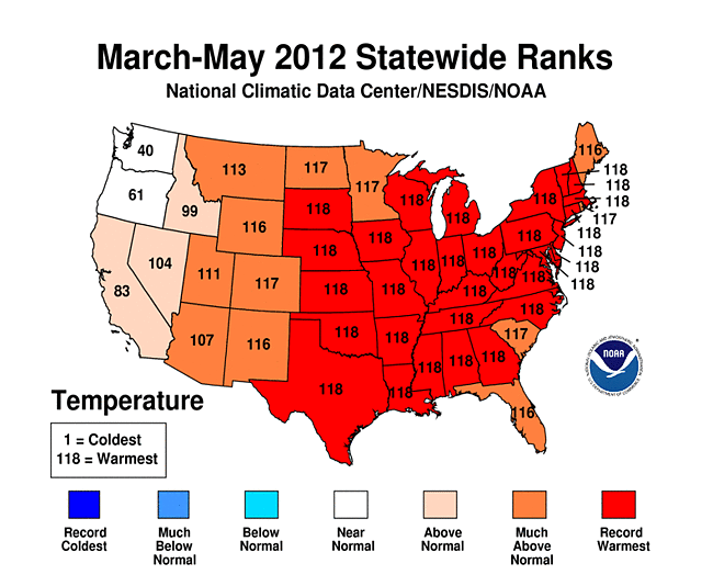
2012 is an honorable mention. Easily the best warm season ever
-
The Great Torch of 2012 is an honorable mention, though not a single event.
-
I don't remember the '89 one, was on Cape Cod. However August 1992 in Falmouth MA, around the 12th? was pretty good. Lots of hail and lightning strikes for several hours. Wind damage, flooding. Top 20 for me in SNE, especially on that broken wx island.
-
Many there that would shape any wx weenie. For me..Bob, Gloria, June 95, 1993 superstorm, Aug 2000 (I was older but, the first time driving through a nocturnal supercell was pretty scary)
-
Dorian does make a run at the Gulf after all. Too bad it's near Maine
-
This scrapercane is annoying. Sorry, /rant
-
A redux of Hazel or King would set this forum on fire
-
too bad the water was/is turned over
-
they will forcefully...ticket you
-
they'd disappear faster than a slushy DC inch
-
good luck proving who was "chasing" though
-
Drama.


