

Cary67
-
Posts
1,372 -
Joined
-
Last visited
Content Type
Profiles
Blogs
Forums
American Weather
Media Demo
Store
Gallery
Posts posted by Cary67
-
-
Lull in the action right now
-
This weekend could be the Zenith for our wintry weather
-
 1
1
-
-
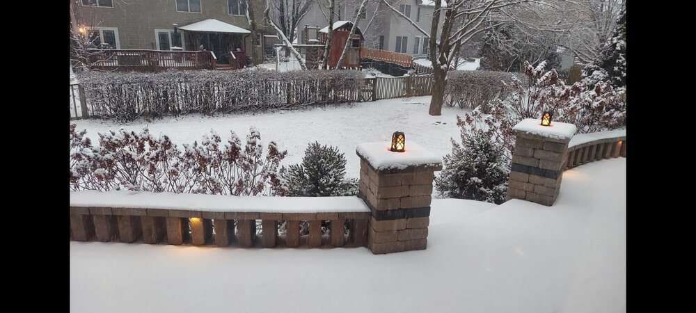
Will go 3" here. Lake Geneva sweet spot with 6.5"
-
Not meant to be. Seems short range models and Euro shifting north. Another grass clippings snow.
-
That band is narrow and my grass tips are exceptionally high this year
-
 2
2
-
-
Look to cover grass for first time this winter by later today.
-
7
-
-
1 hour ago, chuckster2012 said:
Just talked to my brother. Says Cincy got 7" Sunday. Up to 16" now for season.
Could be tough for ORD to beat them out after this event for the seasonal totals
-
1
-
-
1 hour ago, A-L-E-K said:
kinda want to go
They just postponed it till Feb11th-12th
-
 1
1
-
-
-
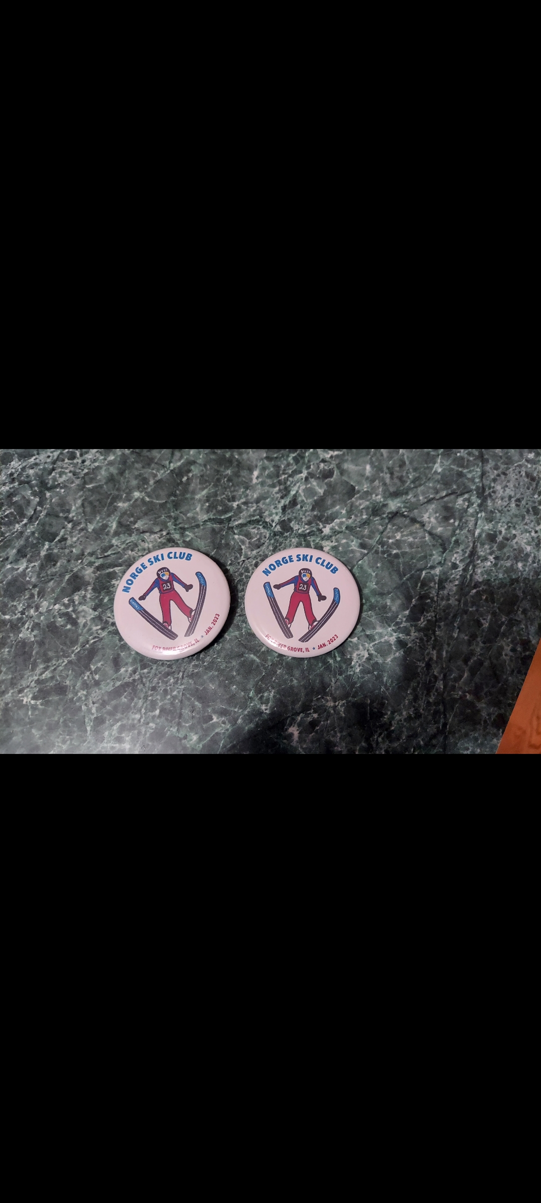
Still riding 1.5" Might have mood flakes for Sunday Norgi ski jump event.
-
32 minutes ago, Baum said:
got time to see the NW and stronger trends to take hold.
980mb over Lafayette
-
1
-
-
Cincinnati may qualify
-
Despite the outlier NW 12Z GFS track; main snows still stay SE from Central IL over to DTW. As Euro seems fairly locked in will go 1.5" far NW, 2-3" downtown and southside, 5" Kankakee
-
14 minutes ago, RCNYILWX said:
Had forgotten to respond to @Hoosier a few nights ago about snow expectations for this mini event. I felt despite the guidance poorly handling things amidst a general downtick in QPF and snow that a corridor of 1-2" still looked good in northern IL and at the time favored north vs. south.
Honestly had lost some confidence in the forecast and felt that localized 3" amounts were probably not happening anymore, but sure enough we had some 2"+ reports out in the northwest CWA and it looks like ORD will have over 1" for this event since they had 0.9" at 12z. RFD already had 1.3" so they should end up over 1.5" and may make a run to near 2".
Also, it appeared at the time that some areas would have a dusting/coating at most, which looks to have been the case from the south suburbs and south and northwest Indiana. Tough forecast since the guidance struggled handling this one - the GEM and RGEM and HRDPS seemed to do probably best overall.
Sent from my SM-G998U using Tapatalk
Interesting will like to see some NW totals.
-
Southside and downtown may reel something in yet.
-
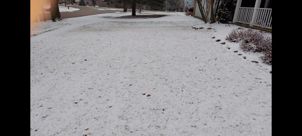
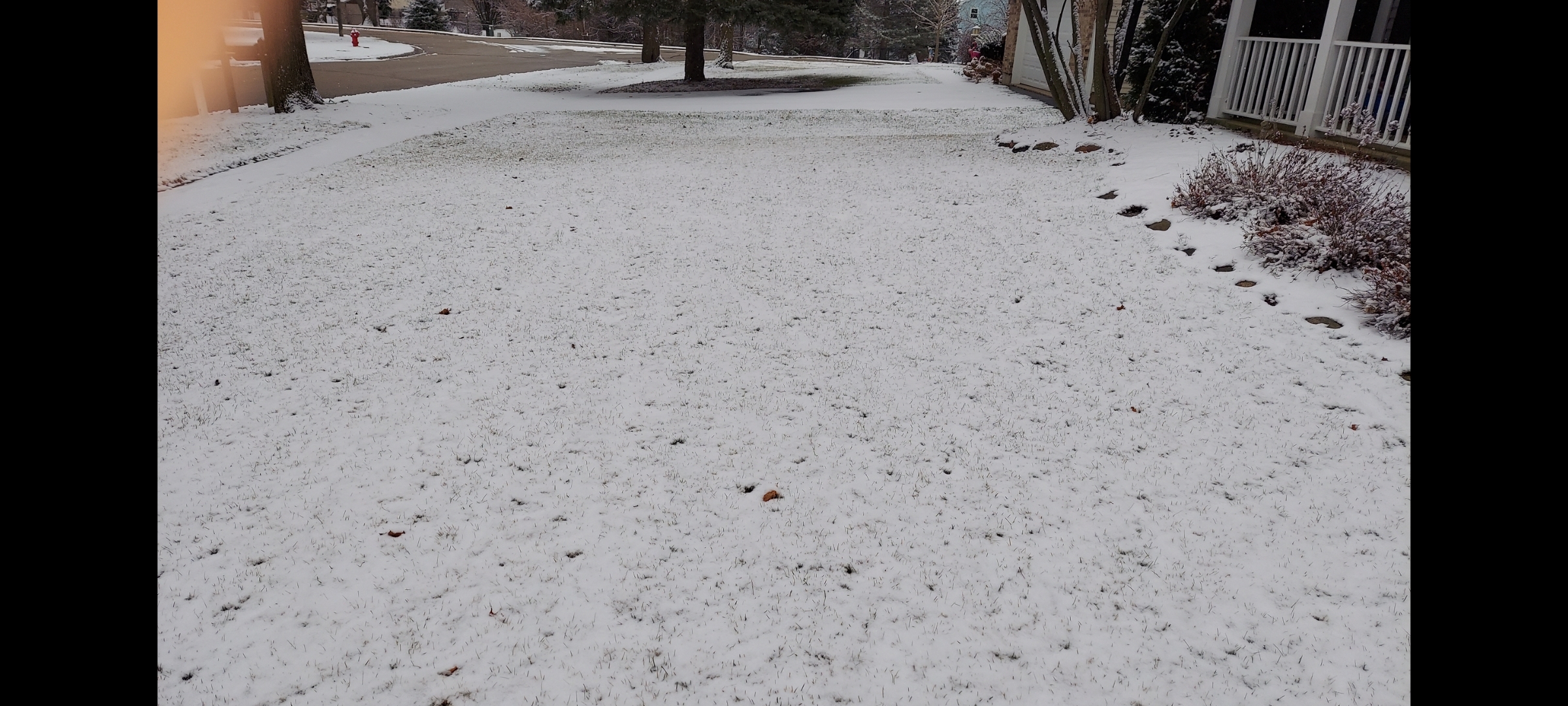
Covered the grass.
Edit: Grass tips still showing. Maybe 1/2" but more than DAB. Looks like Dec events
-
1
-
-
5 minutes ago, Baum said:
did you just copy and paste this post from each of the past 5 winters?
Definitely in a dead zone. Even Madison has cashed in a little this winter
-
Even if 0Z CMC verifies that's a southern LOT to DTW track. Seen this rerun too often last few yrs.
-
1
-
-
As you stated too many pieces all have to fall in place just right. At least the miss SE is showing up early.
-
1
-
 1
1
-
-
fairly sharp cut-offs on the northwest side of
the precip shield are common in these synoptic set-ups even with
stronger surface lows.
NW LOT shaft advisory in effect Wed-Fri next week.
-
Are the ensembles moving west?
-
No faith....
-
-
1 hour ago, Baum said:
from LOT this AM:
STILL NOTING PLENTY OF SPREAD
IN THE EXPECTED SURFACE LOW TRACK ACROSS THE ENSEMBLE ENVELOPE,
WITH ENSEMBLE MEAN TRACKS ALREADY FAR ENOUGH SOUTH THAT ANY
SLIGHTLY LATER ARRIVAL OF THE NORTHERN STREAM PIECE OF THE PUZZLE
WILL RESULT IN ANOTHER MISS SOUTH. BLENDED OFFERING OF HIGHER-
END CHANCE POPS LOOKED GOOD FOR THIS FORECAST CYCLE.this is called ride the 3 year trend, and hope for a reversal of fate.
Wonderful reminiscing about storms of the past. Hard to imagine they ever came to fruition given the tenuous timing and pieces that all need to fall in place to produce snow in this region.

.thumb.png.1173fb74a7e80d0a43387cf0ae5e4548.png.069d1e050c60b641e4e2f8974be474ff.png)
Jan 28-29th Baroclinic Rider
in Lakes/Ohio Valley
Posted
Not feeling great today but would guesstimate 3" or so out there.